Montgomery Cradle of the Confederacy
$245.00
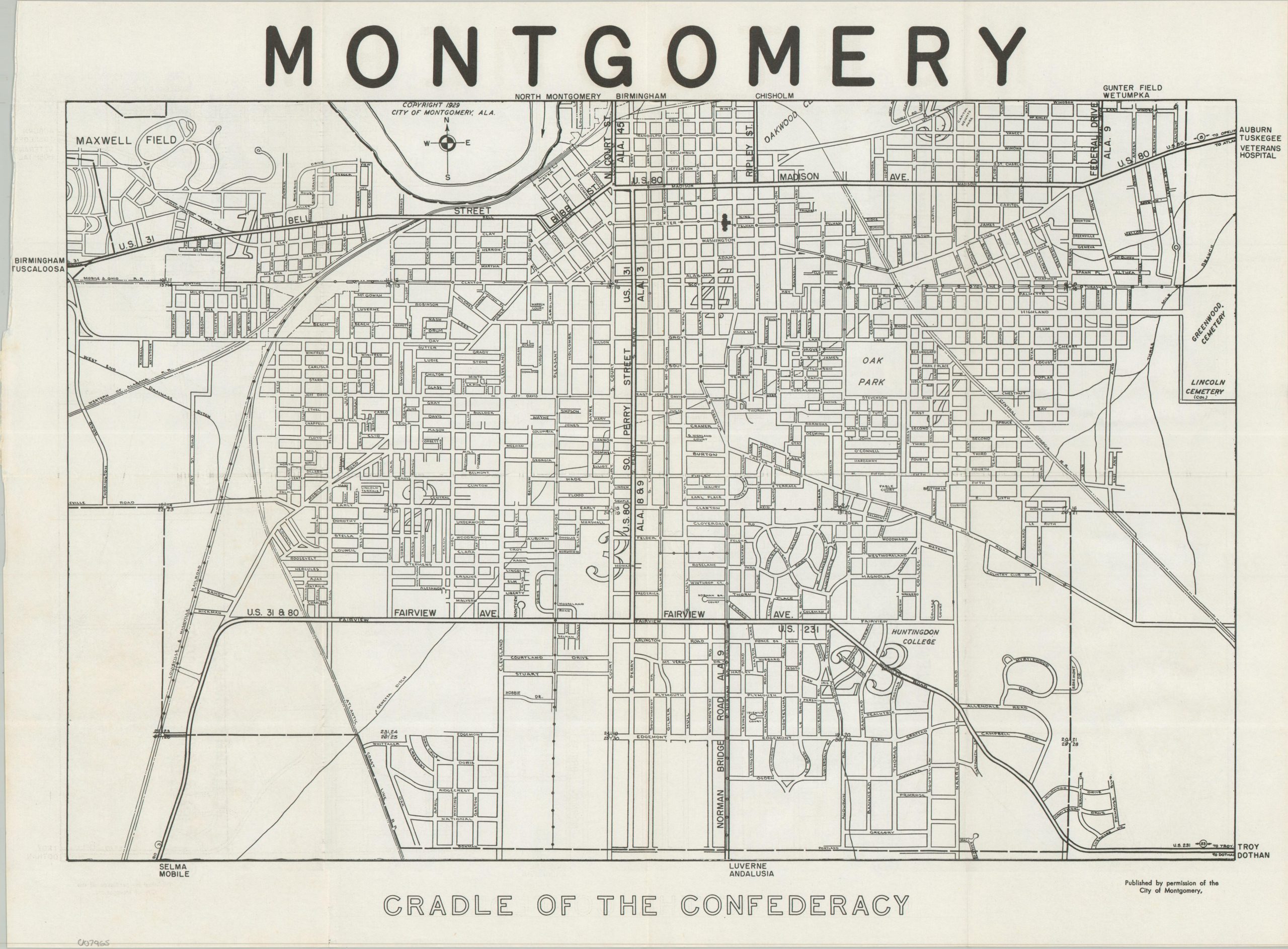
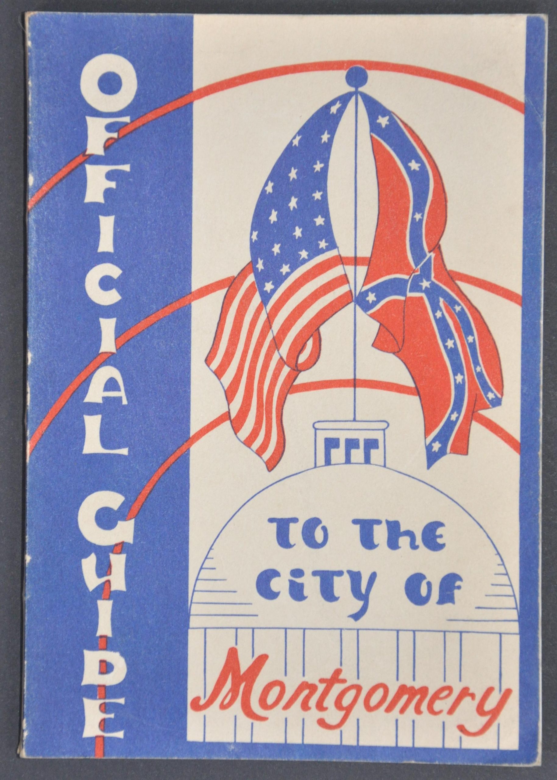
Map and Official Guide to Montgomery, Alabama from 1948.
1 in stock
Description
This straightforward street map of Montgomery, Alabama, was originally copyrighted by the city in 1929, though this example was issued to accompany a post war tour guide to the city. Railroads (including streetcar routes), cemeteries, and major thoroughfares are noted throughout. Also of interest is Maxwell Field (now Maxwell Air Force Base) and Huntingdon College.
The contents of the guidebook include a heavily edited history of Montgomery, descriptions of local institutions (churches, parks, cemeteries, non-profit organizations, etc.), recommended day tours, and lists of locations of interest (including ‘old homes’ and segregated movie theaters).
Published in 1948 by the Tingatil Club, a local women’s civic organization, with proceeds from the book going to restore Montgomery’s Court Square Fountain.
Map Details
Publication Date: 1948
Author: City of Montgomery
Sheet Width (in): 19.50
Sheet Height (in): 14.75
Condition: A-
Condition Description: Fold-out map (size given) extracted from a 178 pp. guidebook with stapled binding and illustrated paper wraps. Some thinning and curling in the left margin, adjacent to the text for Birmingham Tuscaloosa, but otherwise in very good condition.
$245.00
1 in stock