Montana
Midcentury map of Montana published by the Northern Pacific Railway.
Out of stock


Description
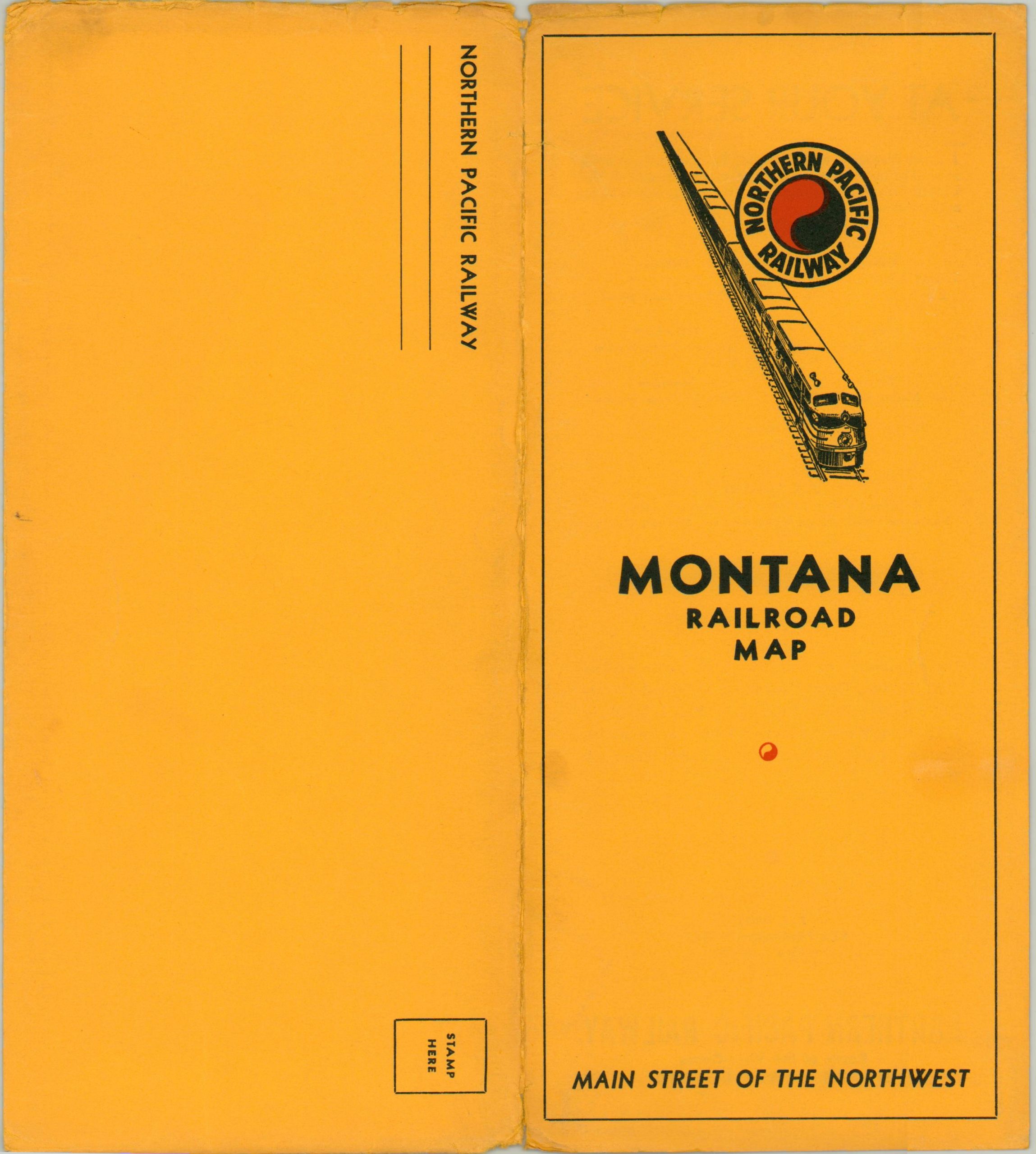
This vibrant map of Montana highlights the current railroads in operation throughout the state in the early 1950’s. The lines of the publisher, the Northern Pacific Railroad, are highlighted in red, with networks of ten other operators noted and explained in the accompanying legend.
Accessibility to Yellowstone, one of the Northern Pacific’s top destinations, is obvious, and a small inset map in the lower right shows the breakdown of passenger, freight, and seasonal routes. The image vividly expresses the motto of the Northern Pacific, “Main Street of the Northwest.”
The verso of the map features population statistics and an index to the various cities across the state, each located with a number and letter corresponding to the grid system surrounding the map. Drawn by M.J. Grindham and copywritten by the McGill Warner Company of St. Paul, Minnesota.
Map Details
Publication Date: c. 1952
Author: McGill Warner Co.
Sheet Width (in): 37.75
Sheet Height (in): 24.60
Condition: A-
Condition Description: Originally folded into 24 segments, with moderate creasing along fold lines and a few small areas of separation along the outer edges. Otherwise in near fine condition, on a bright sheet with the original mailing envelope.
Out of stock