Momen-Orientierungs-Plan der Stadt Koln a. Rh. [Cologne, Germany]
$75.00
Early 20th century tourist guide to Cologne, Germany.
1 in stock
Description
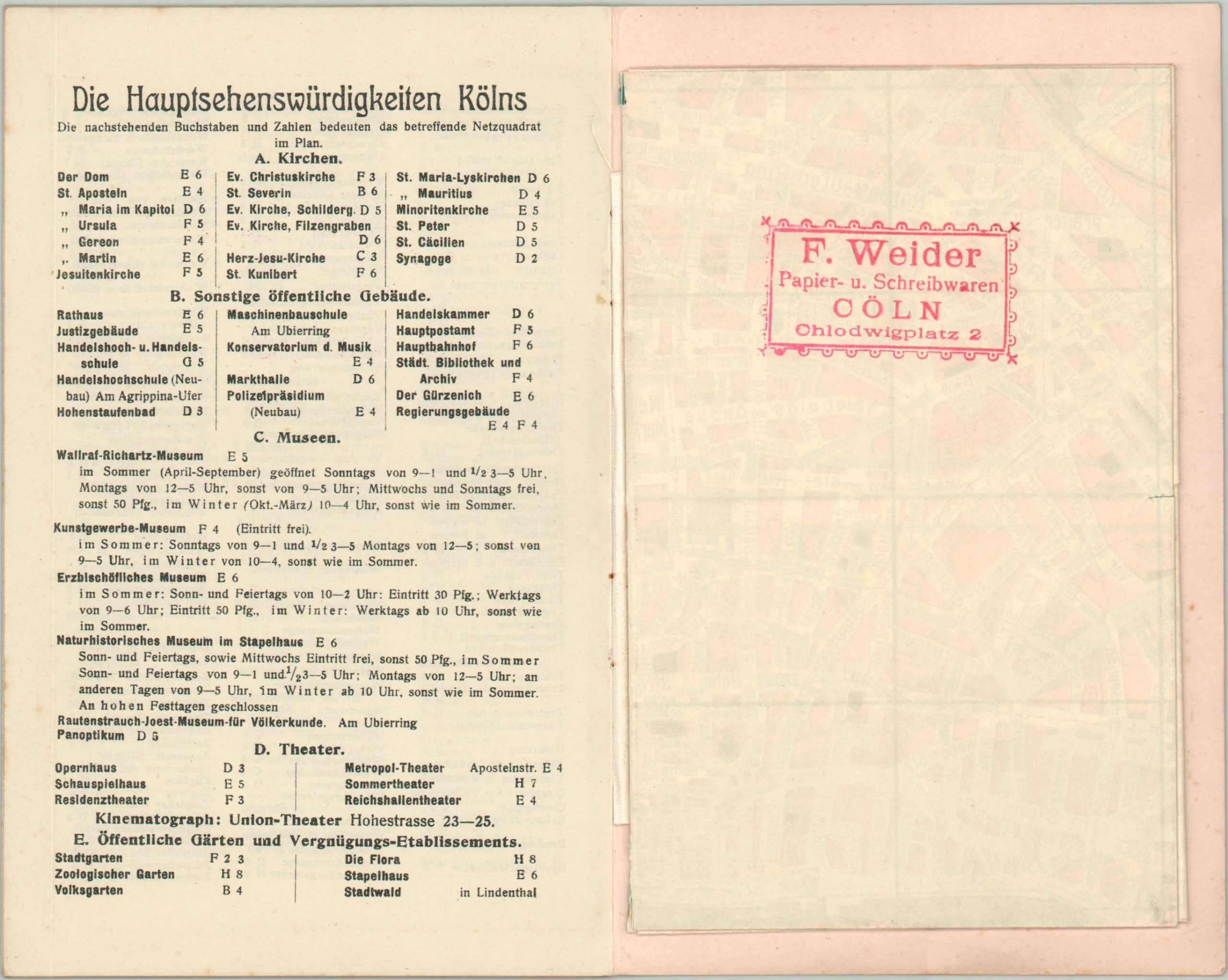
Travelers to Cologne in the early 1900’s would have found this pocket-guide of tremendous use. A comprehensive index of streets, local amenities, and locations of interest accompanies a fascinating four panel fold-out map. Each entry corresponds to coordinates in one of the four quadrants, clearly defined and legibly labeled. A detailed street grid includes railway and streetcar lines, with prominent buildings individually outlined.
Published locally in 1902 by Hoursch & Bechstedt.
Map Details
Publication Date: 1902
Author: Hoursch & Bechstedt
Sheet Width (in): See Description
Sheet Height (in): See Description
Condition: A
Condition Description: Four panel map unfolds to approximately 16" x 12.5". Included as the centerfold of a pamphlet that measures 4.5" x 7" with pink paper wrappers. Covers slightly soiled with red bookseller's rubberstamp. Stapled bindings contain 4 double sided pages that function as an index of streets and locations of interest. A bit of extraneous creasing along the map, but overall in near fine condition.
$75.00
1 in stock


