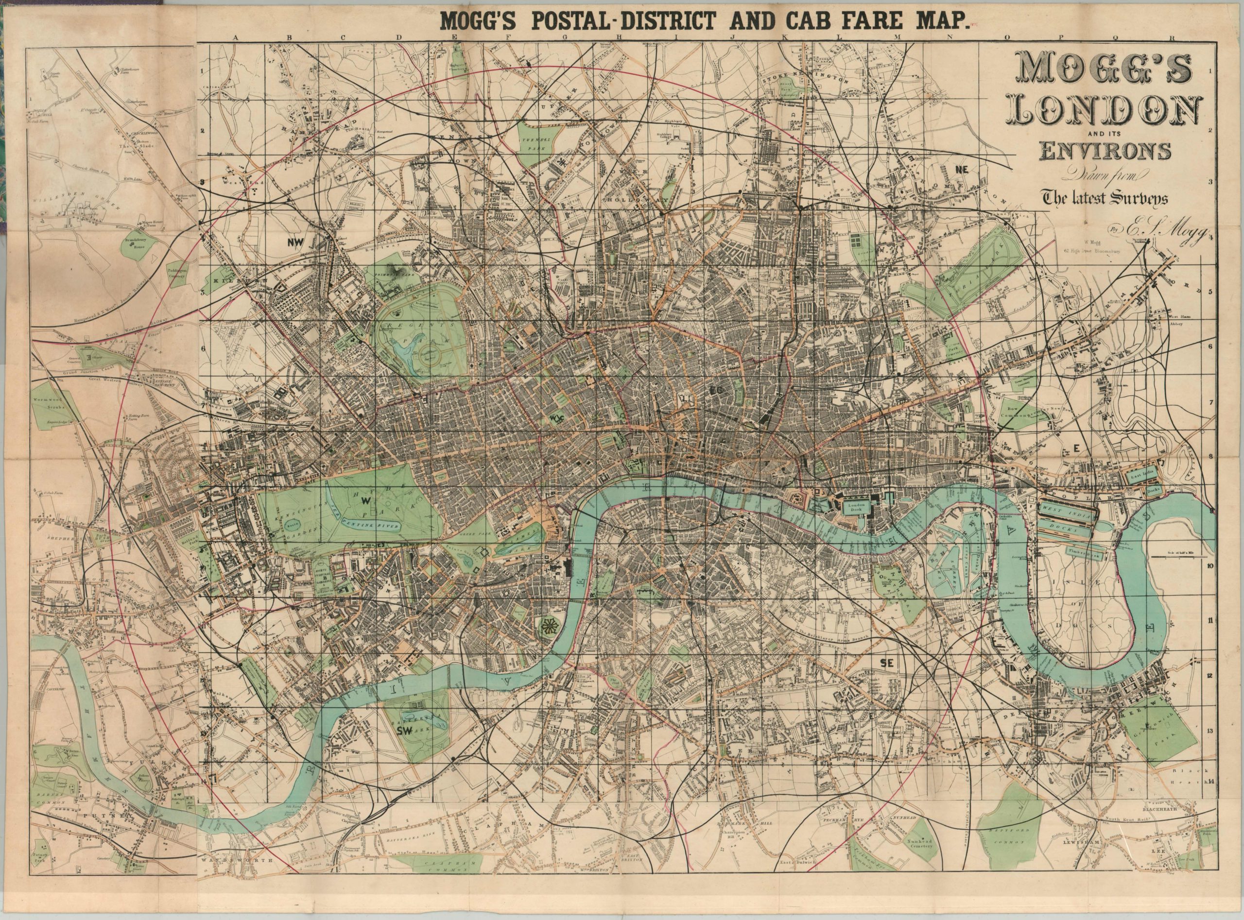
Mogg’s Postal-District and Cab Fare Map
$400.00
A handy fold out map and guide to navigating London.
Description
Brothers Edward & William Mogg sought to organize the chaos of London transportation in the middle of the 19th century. The city’s explosive growth resulting from the Industrial Revolution propelled it to the largest in the world by 1825, and a web of transportation systems popped up to facilitate the expansion. The Mogg’s created a number of travel guides and handy maps in the 1840’s, 50’s and 60’s to aid the overwhelmed traveler.
A neatly numbered grid is superimposed over the myriad of streets, rails, and docks; allowing for easy reference in the attached index. In addition to a list of streets and locations of interest, the index also contains a list of rail stations and cab stands (of the horse drawn variety), along with the legally defined rates of the latter. One can imagine the constant updates necessary to keep the map’s relevancy, and as a cost saving measure the Mogg brothers would issue updated sections to be pasted down over the originally issued sheet. This example shows several such revisions.
Map Details
Publication Date: c. 1860
Author: William & Edward Mogg
Sheet Width (in): 33.00
Sheet Height (in): 24.25
Condition: B+
Condition Description: The map itself is in very good condition, exhibiting minor discoloration along the far left panels, but otherwise excellent. Several updates have been made to the image in the form of contemporary "paste downs" which is why the various colors are seen on the sheet. The map is mounted on linen and folds into 24 sections. The attached purple cloth cover is present, but has a tattered spine. An index and guide to London is pasted inside the front cover.
$400.00

