
Modern Palestine on the Basis of Kiepert with the Latest Corrections
$95.00
An important map in the historical cartography of Palestine.
1 in stock
Description
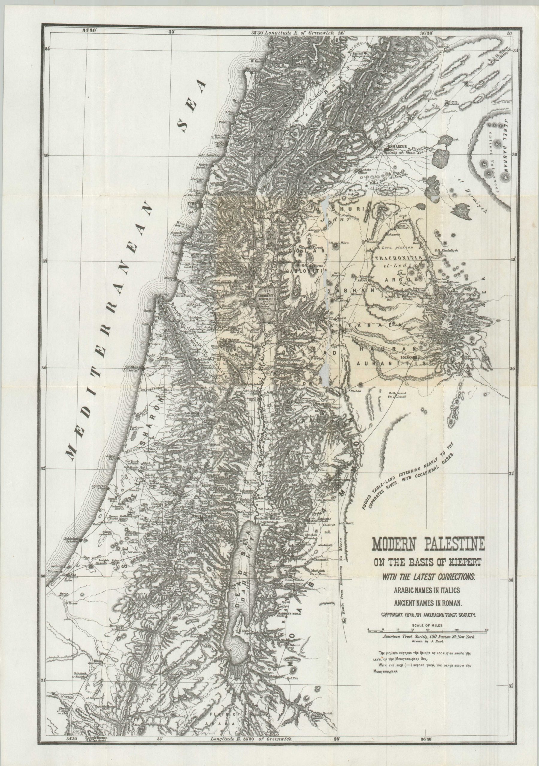
This detailed map of ‘Modern Palestine’ covers the Mediterranean coast between Beirut and Gaza and inland as far as the rugged deserts of Syria and Jordan. Topography is depicted in hachure and a fascinating variety of settlements, historic sites, and geographic features are labeled in their Arabic, Roman, and/or Hebrew names.
The sheet was published in 1876 by the American Tract Society, an evangelical organization founded in 1825 to disseminate Christian literature. The image incorporates the highly influential historical cartographic work of Heinrich Kiepert, which was first issued in 1841 to accompany Edward Robinson’s Biblical Researches in Palestine.
Map Details
Publication Date: 1876
Author: American Tract Society
Sheet Width (in): 14
Sheet Height (in): 19.75
Condition: B
Condition Description: A thin sheet, professionally cleaned and flattened, with soft creasing along old fold lines. Minor image loss along one seam in the center of the sheet (see scan) and light toning. Original printed color has faded from the cleaning. About good condition overall.
$95.00
1 in stock