
Mitchell’s National Map of the United States
$2,400.00
Scarce pocket map variant of Mitchell’s important overview of an expanding America.
1 in stock

Description
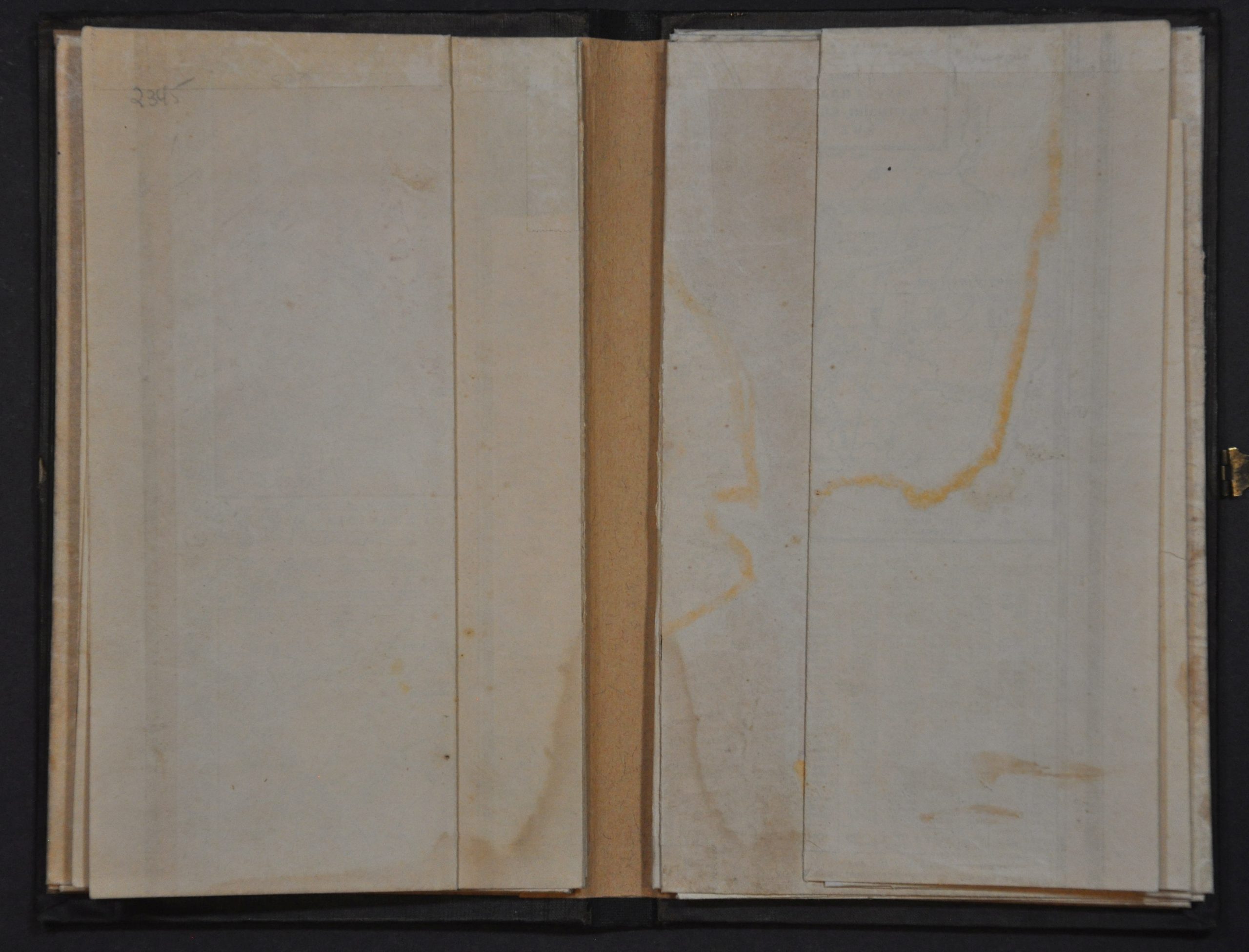
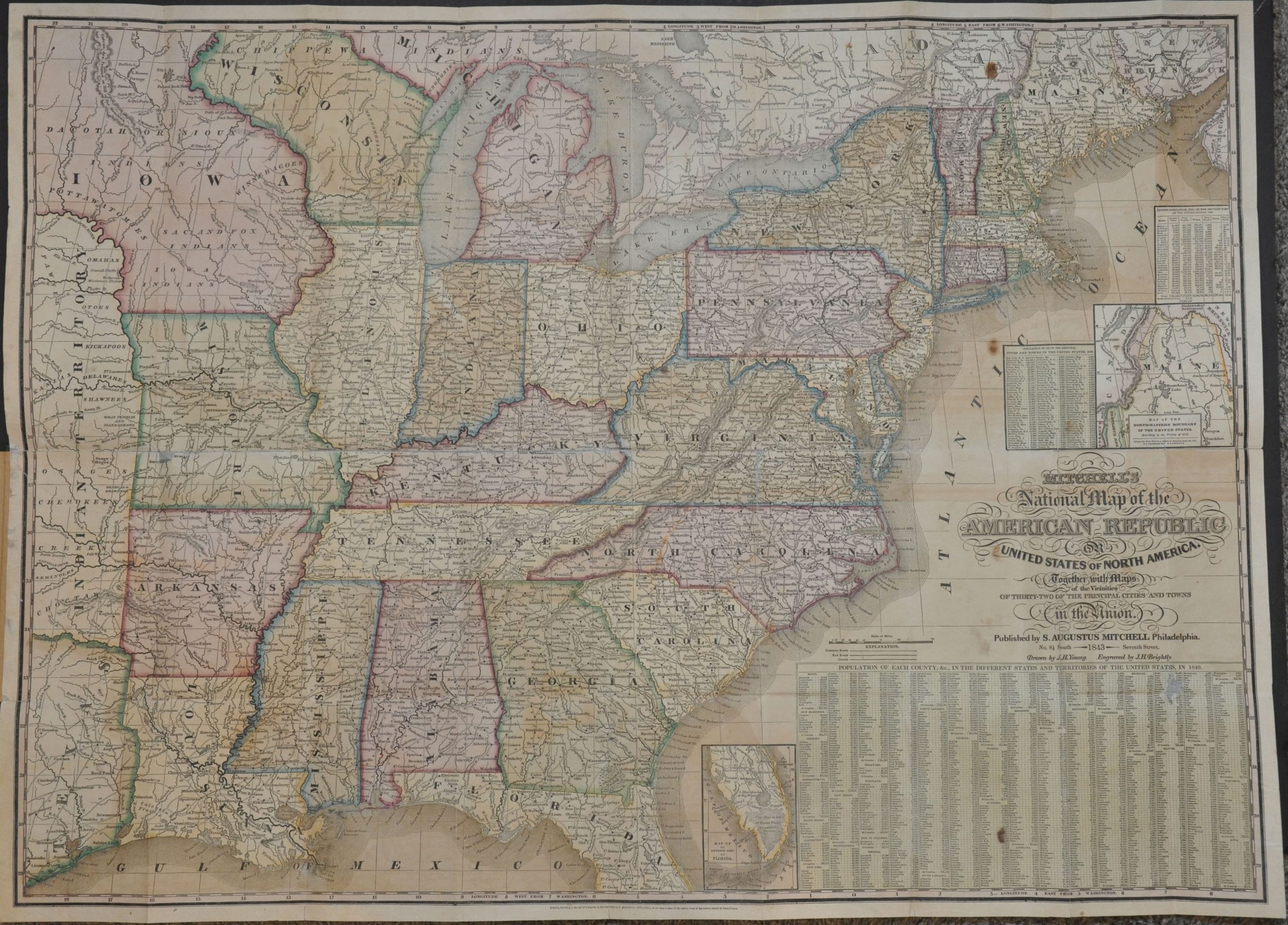
In 1843, Samuel Augustus Mitchell published the first of his ‘National Maps’ of the United States – large and informative representations of the rapidly growing nation. He issued them annually until 1850 (except 1849), providing a detailed catalog of America’s maturation during the mid-19th century. This is the (first edition) pocket map variant, comprised of two large folding sheets in their original clasped covers.
The right page presents an attractive steel engraved map of the United States east of the Indian Territory. While the national boundaries technically extended to the Pacific thanks to the Webster-Ashburton Treaty of 1842, Mitchell chose to limit the scope to the settled areas of the country. He also includes portions of the independent Republic of Texas, linked to the U.S. via the carefully depicted road network. Distances between points are noted in miles, offering helpful information for the prospective traveler. A table in the lower right lists the population for the counties in each state and territory using census data from 1840.
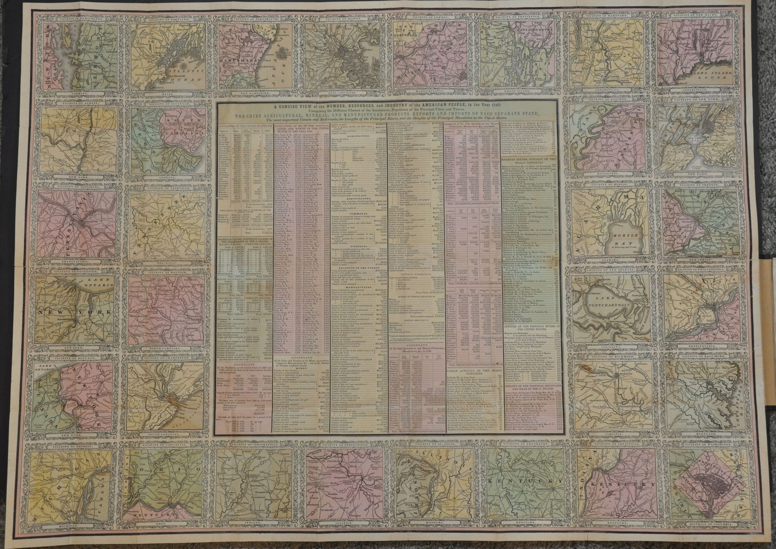
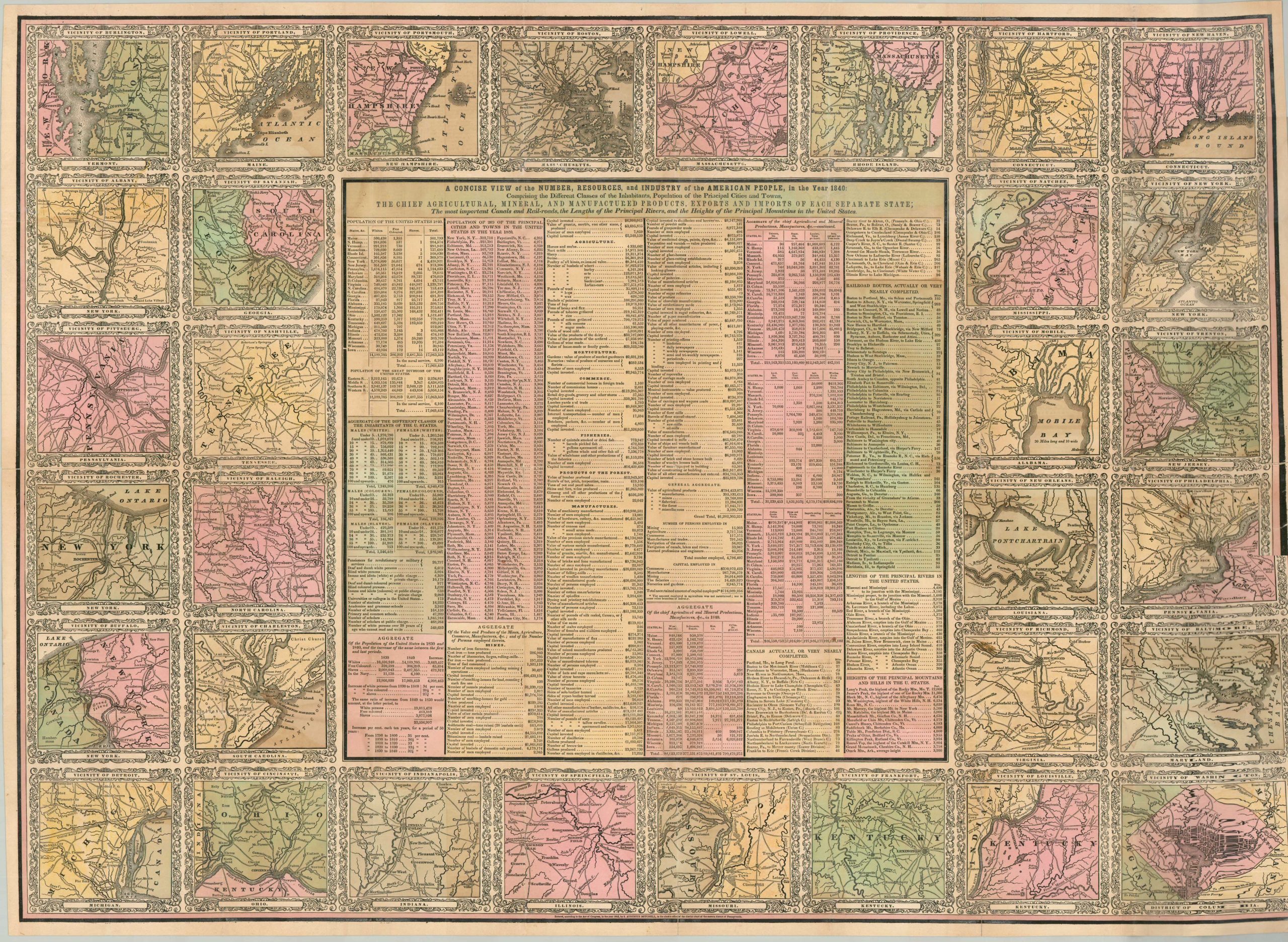
The left sheet continues with the statistical information, offering details on demographic changes, industrial production, infrastructure, and geographic features. The center table is surrounded by thirty-two inset plans of the vicinity of important urban centers and state capitals. Each carefully notes the incoming transportation routes and adjacent settlements.
The map was drawn by J.H. Young and engraved by J.H. Brightly. Published in Philadelphia by Samuel Augustus Mitchell in 1843. Mitchell was one of the most prominent American mapmakers of the 19th century, and initially got involved with cartography as a school teacher who was frustrated with the quality of available maps. He collaborated with skilled engravers and produced high-quality maps and atlases that contained the most up-to-date information available. This attention to detail, combined with his tremendous publication output, made him one of the most influential cartographic firms of the era
Sources: David Rumsey Map Collection; Ristow, p. 310; Karrow 1-1533;
Map Details
Publication Date: 1843
Author: J.H. Young
Sheet Width (in): See Description
Sheet Height (in): See Description
Condition: B+
Condition Description: Two large folding sheets bound into original black cloth boards with gilt lettering. Professionally restored and repaired with archival materials on the verso, with minor paper loss in several areas and light discoloration along fold lines. Scattered spots of toning in the original color and some moderate offsetting visible in several areas. A handful of small stains, the largest of which can be seen in the population table in the lower right. The sturdy paper now folds easily into the covers (with functioning brass clasp). Good condition overall - ready for actual use! Right sheet (map) - 34.5" x 25".
$2,400.00
1 in stock