
Missouri River
$80.00
Tracking the volatility of the Missouri River in the 19th century
1 in stock
Description
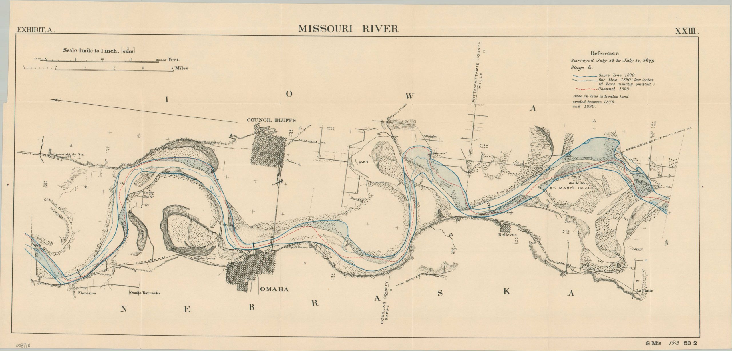
This interesting map of the Missouri River was compiled by the Missouri River Commission of the Army Corps of Engineers and originally published as part of a Congressional report in 1891. The course of the river between Florence and La Platte, Nebraska, is shown along with a portion of both banks. Blue shaded areas indicate the areas that have eroded between the two surveys performed (1879 and 1890), while a red dotted line shows the most recently dredged channel. A detailed effort to explicitly show Congress how much the ‘Big Muddy’ was eating away at valuable farmland, towns, and railroad beds, thus encouraging expenditures on bank stabilization and other improvement efforts.
Map Details
Publication Date: c. 1891
Author: Missouri River Commission
Sheet Width (in): 24.00
Sheet Height (in): 11.40
Condition: A
Condition Description: Single-sided map, creased along original folds and showing some minor offsetting from the black ink. Very good to near fine overall.
$80.00
1 in stock