Minnesota
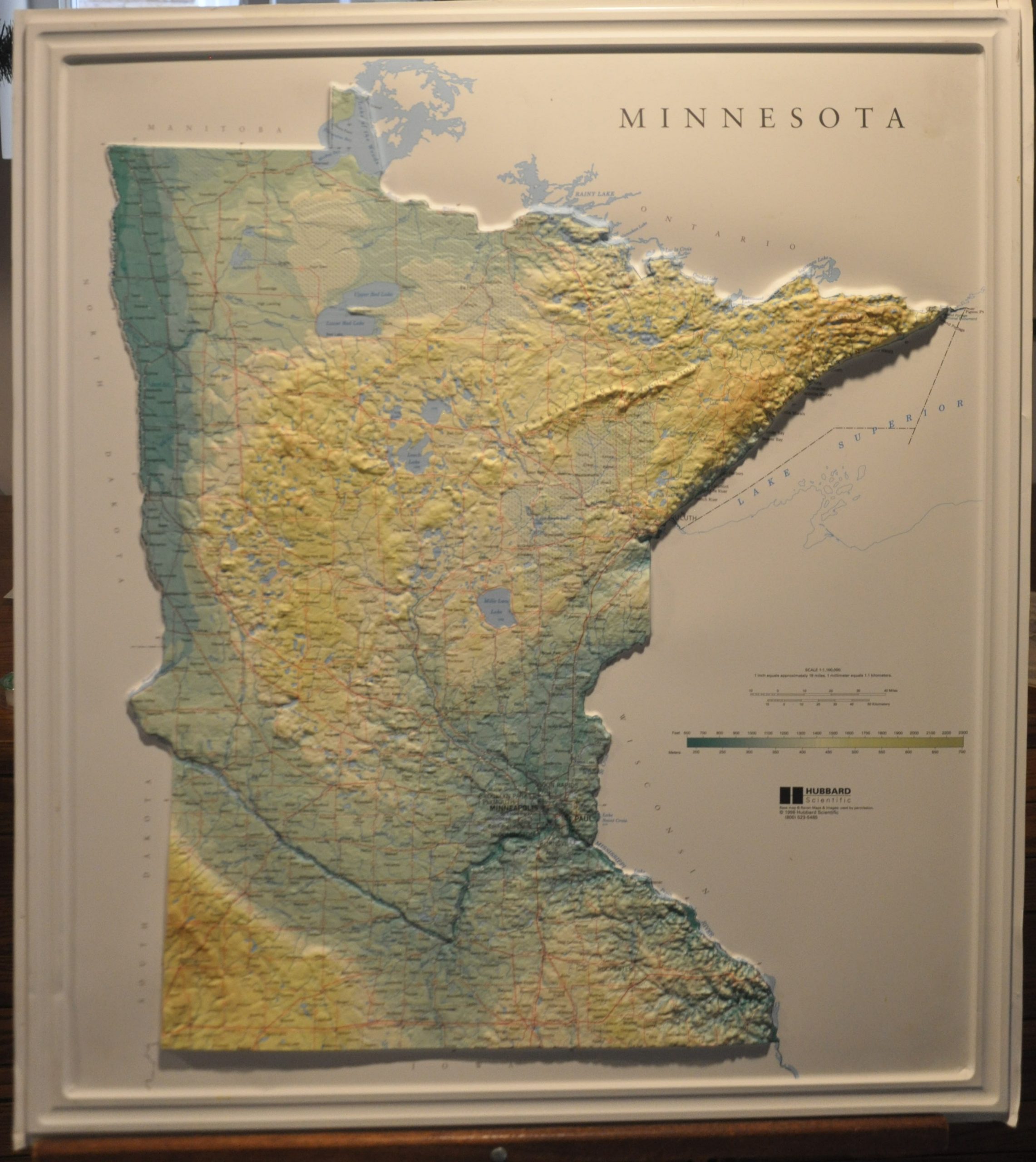
Three dimensional topographic map of Minnesota.
Out of stock
Description
This colorful topographic map presents a physical expression of Minnesota’s geography that is unavailable in most other commercially produced map. Vibrant colors, coupled with molded plastic raised relief, provides an attractive and tactile overview of the “Land of 10,000 Lakes,” with many such bodies of water (and other geographic features) individually labeled. Urban centers, wetlands, and transportation routes are also noted within the map’s image.
Created in 1998 by Hubbard Scientific using a base map from Raven Maps & Images.
Map Details
Publication Date: 1998
Author: Hubbard Scientific
Sheet Width (in): 24.50
Sheet Height (in): 27.50
Condition: A-
Condition Description: Molded plastic topographic map. Minor wear along the outer edge, including a few cracks and scuffs along the raised frame. Old adhesive residue on the verso. Remains in very good condition, fully intact with vibrant color.
Out of stock

