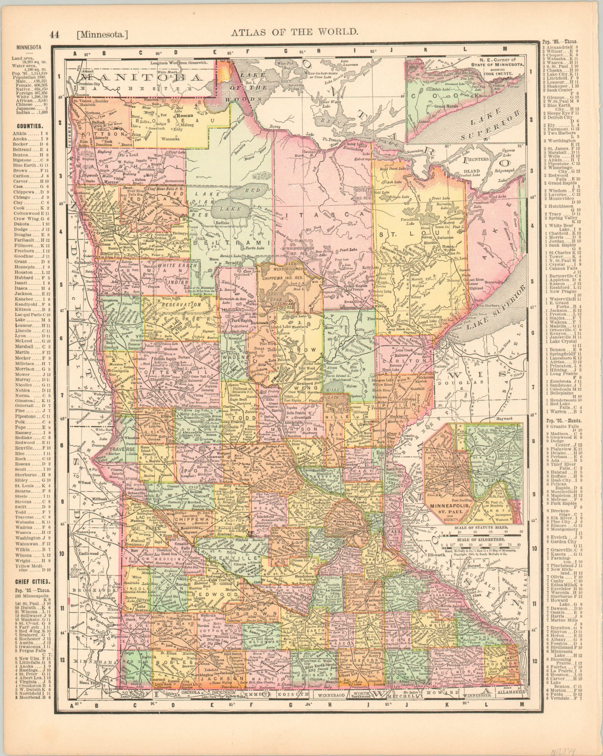
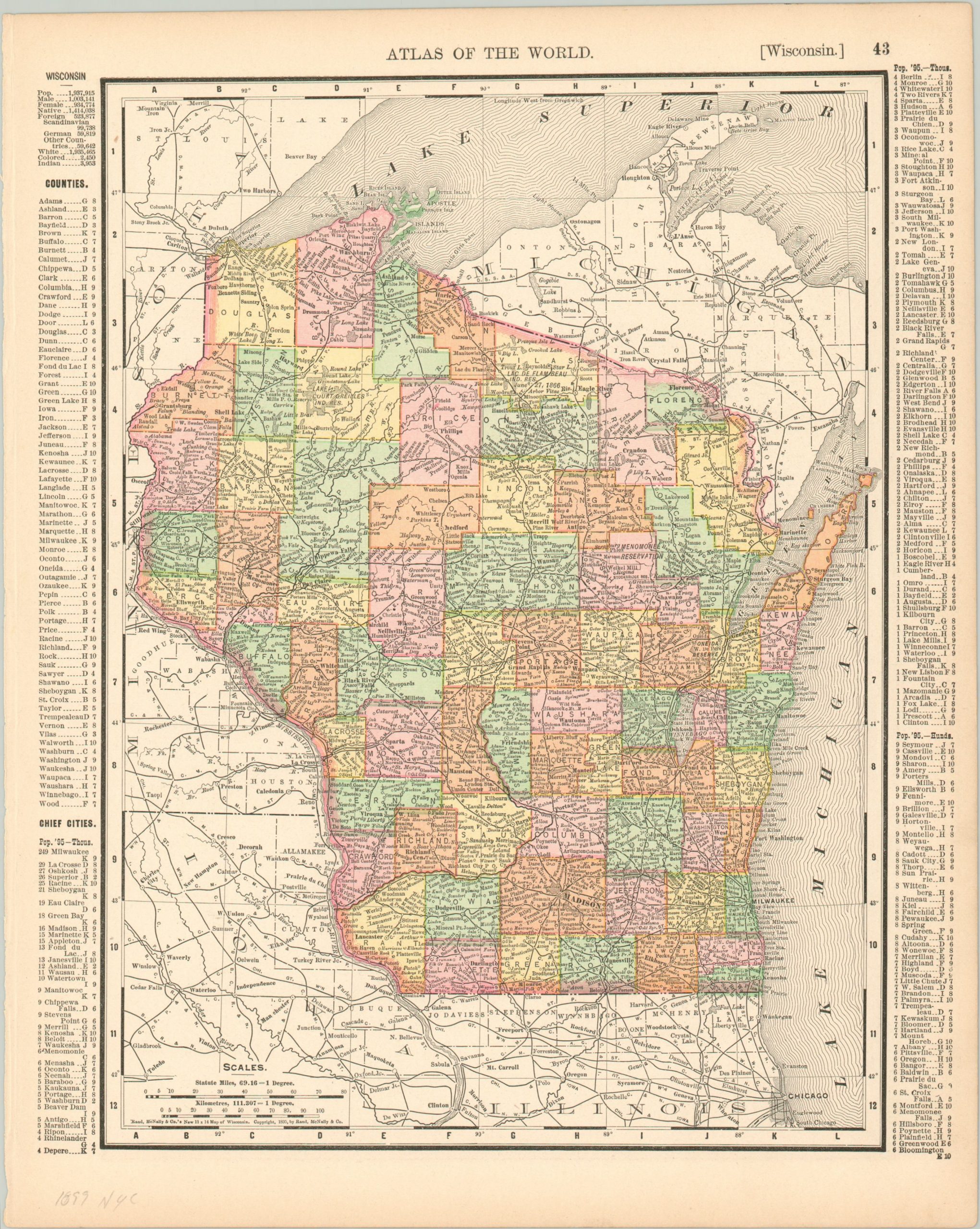
Minnesota [and] Wisconsin
$25.00
Minnesota and Wisconsin at the close of the 19th century.
1 in stock
Description
This double sided color lithographed map of Minnesota and Wisconsin was published by Rand McNally in New York in 1899. It shows both states organized by county, with robust railroad networks prominently featured with bold black lines.
Place names, Native American reservations, and geographic features are individually labeled, while accompanying indices in the borders list the counties and chief cities. Each entry is accompanied by coordinates which correspond to the numbers and letters around the border of the map.
Map Details
Publication Date: 1899
Author: Rand McNally
Sheet Width (in): 11.25
Sheet Height (in): 14
Condition: A
Condition Description: Slightly ragged binding edge to the sheet and margins are slightly toned, otherwise in near fine condition overall.
$25.00
1 in stock


