Minnesota
$40.00
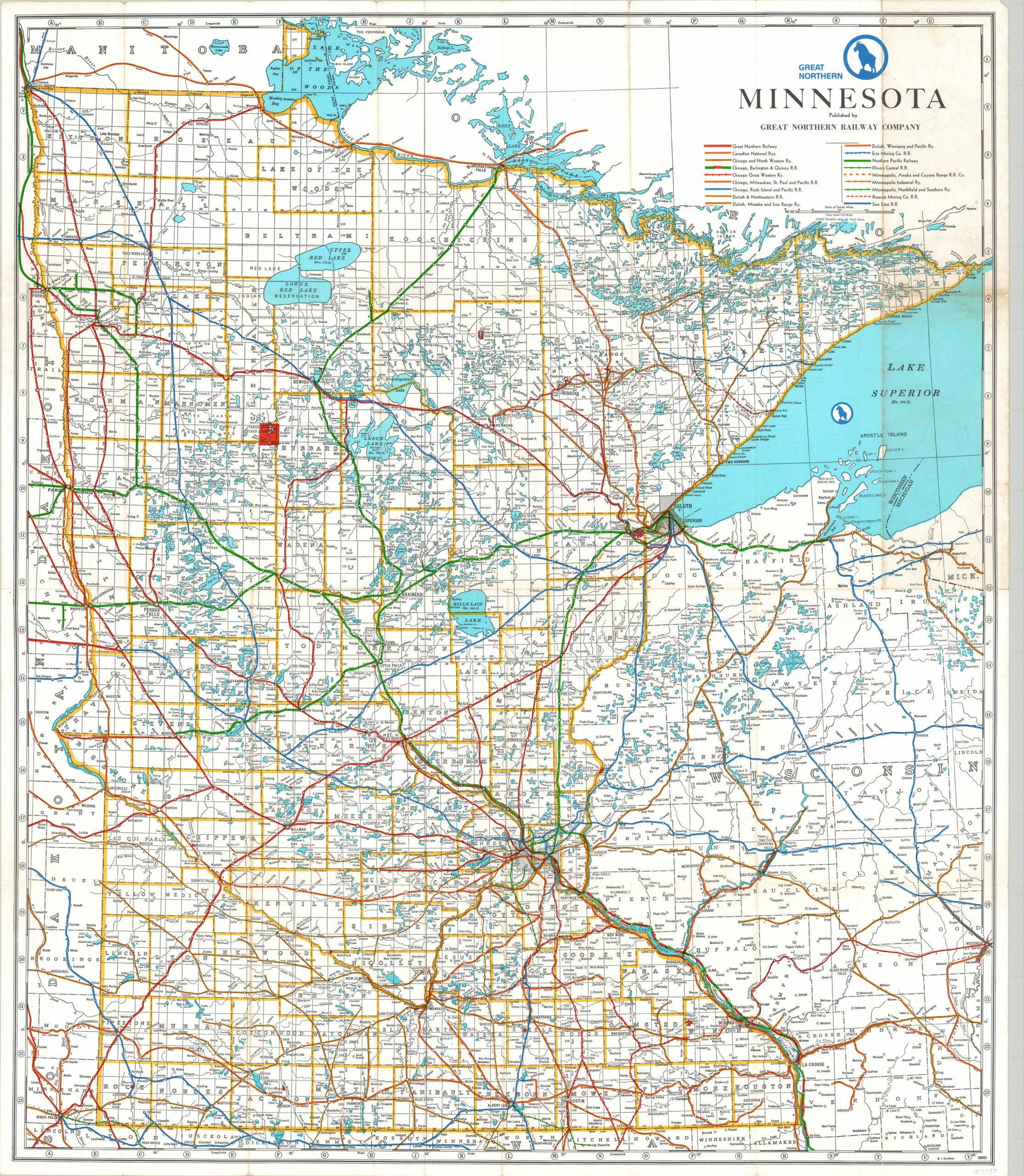
Vibrant railroad map of Minnesota from the 1960’s.
1 in stock
Description
This folding map of Minnesota and portions of northern Wisconsin was created by the McGill Graphic Arts Company in St. Paul and published by the Great Northern Railway in 1967. The publisher’s routes are brightly shown in red across the map, while those of seventeen other subsidiaries or rivals are also depicted according to the legend immediately below the title.
State parks share the same shade of red as the routes of the Great Northern; most evidently Itasca State Park and the headwaters of the Mississippi River near the center of the sheet. An index of counties and towns, with coordinates corresponding to the border of the image, is listed on the verso.
Map Details
Publication Date: 1967
Author: McGill Graphic Arts
Sheet Width (in): 30.9
Sheet Height (in): 35.9
Condition: B
Condition Description: Originally issued folded into 24 panels. Moderate creasing and wear along originally issued fold lines, including separation at fold intersections and along the outer edges. The front panel (upper right) shows moderate discoloration and wear also.
$40.00
1 in stock

