Minnesota 2 [and] Minnesota (Northern Portion)
$110.00
Pair of maps highlighting Indian land cessions across Minnesota.
1 in stock
Description
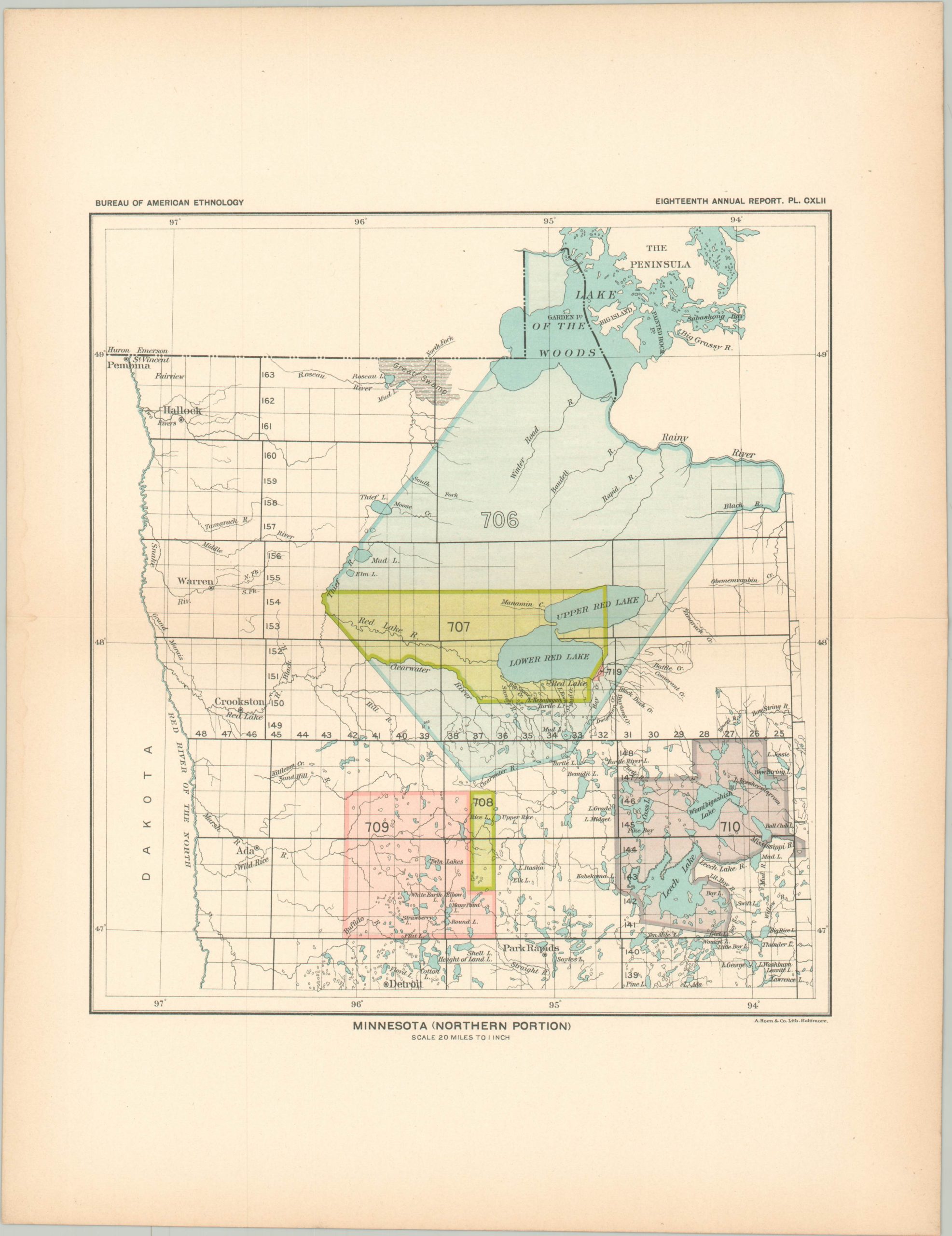
This set of two maps of Minnesota was originally published in 1899 by the Government Printing Office as part of the Eighteenth Annual Report of the Bureau of American Ethnology. The two-part volume (not included) provided a comprehensive overview of Native American land cessions across the United States, as well as details on foreign policy towards various tribes, a list of treaties, and more.
Each colored area represents a different parcel of land ceded to the federal government by a tribal representative. Numbers within reference the corresponding entry in the index of the report. The first sheet, Minnesota 2, shows an outline of the entire state, with large colored areas in the center indicating land cessions from various tribes. The second sheet covers a large portion of the northern tip of the state, including the Red Lake and Lake of the Woods regions.
Map Details
Publication Date: 1899
Author: Bureau of American Ethnology
Sheet Width (in): 11.25
Sheet Height (in): 14.5
Condition: A
Condition Description: Two single-sided maps with faint toning around the outer edges, consistent with age. Near fine overall.
$110.00
1 in stock


