Minneapolis [and] St. Paul
$25.00
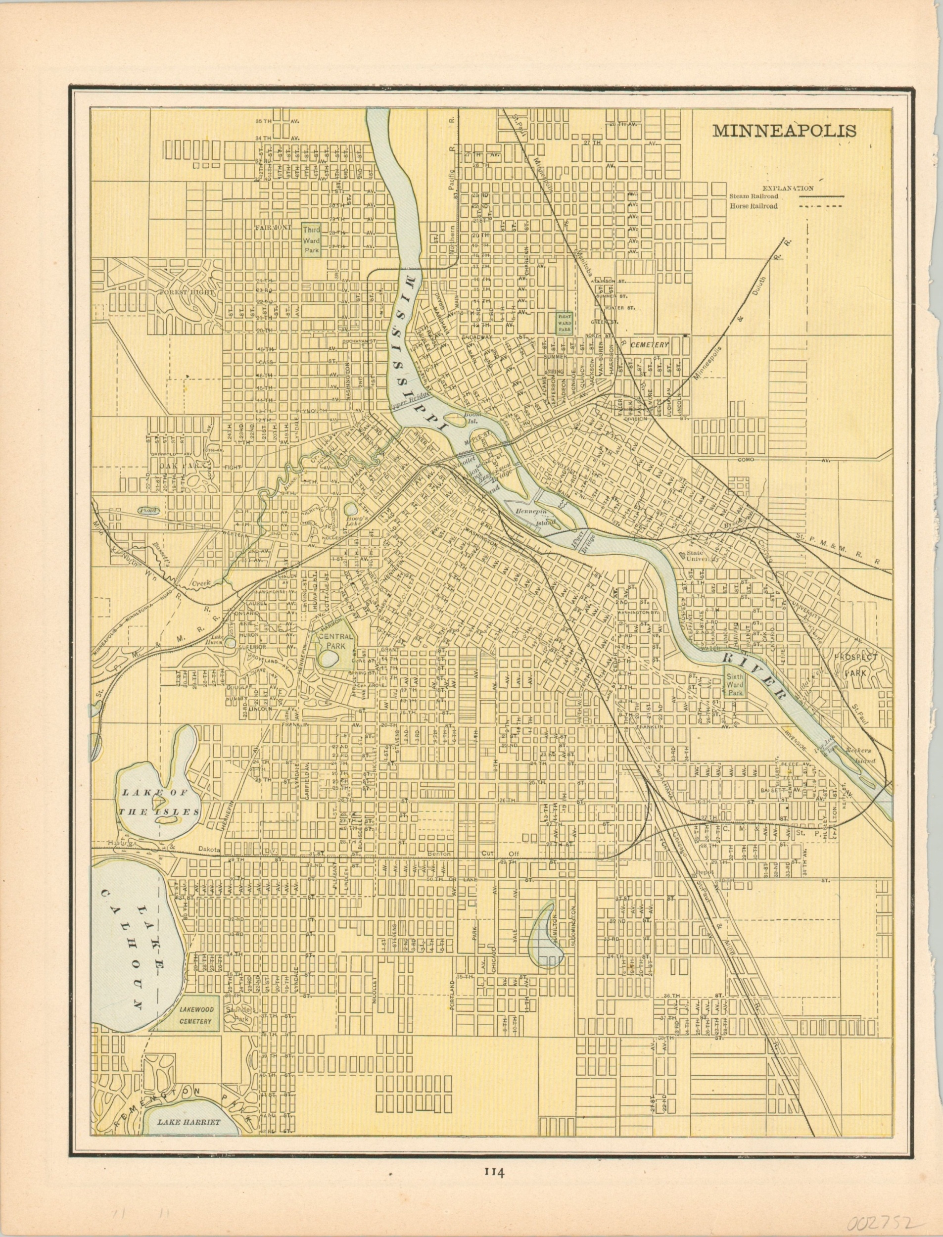
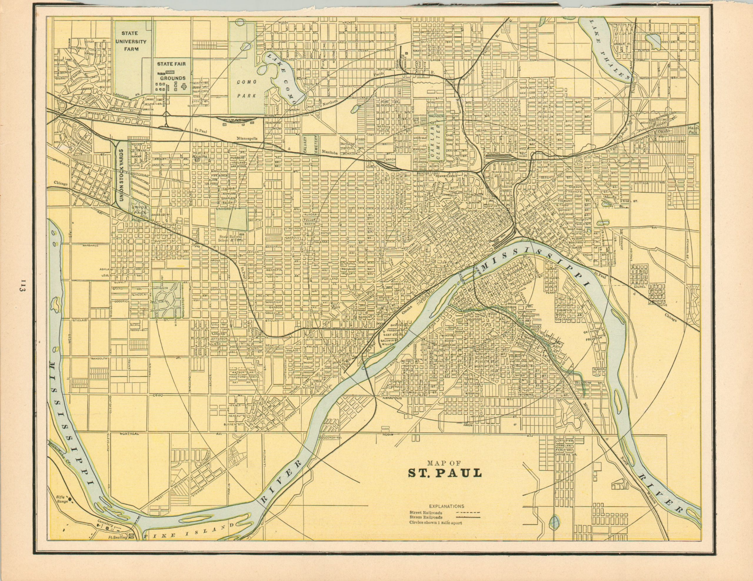
Double sided transportation map of the Twin Cities.
1 in stock
Description
This double sided color lithographed map shows the Twin Cities of St. Paul and Minneapolis, Minnesota. It was created by George Cram for inclusion in his Atlas of the World, published by H.C. Higgins & Company in Atlanta in 1885.
Steam and horse drawn railroads depicted within both images reflect the rapid developments in transportation technology in the late 19th century. Streets are labeled individually and green color highlights the locations of parks, cemeteries, the state fair grounds, and other outdoor spaces.
Map Details
Publication Date: 1885
Author: George Cram
Sheet Width (in): 11
Sheet Height (in): 14.3
Condition: A-
Condition Description: Uneven binding edge that has affected the margin on the St. Paul side. Slight toning around the outer edges, consistent with age.
$25.00
1 in stock


