
Military map of the island of Cuba
Probably the most detailed map of Cuba published during the 19th century.
Out of stock
Description
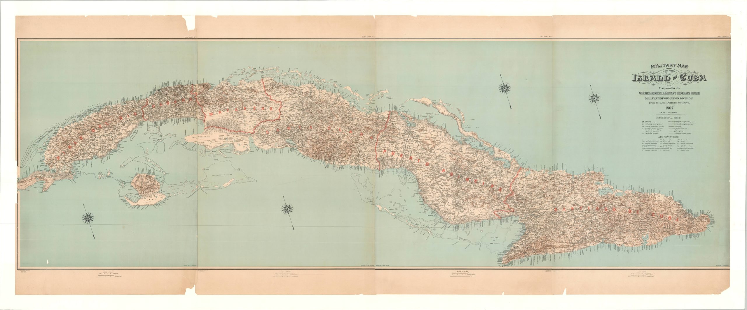
This incredible production, one-of-a-kind in its form, presents the entire island of Cuba on the verge of the Spanish-American War. It was originally lithographed by Julius Bien & Co. in 1897 as four separate sheets, but has been professionally combined and mounted onto one sheet of linen for maximum effect.
Each sheet was drawn by Charles Ourand, cartographer of the Adjutant-General’s Office, and shows a detailed overview of transportation routes, political boundaries, settlements, and more. Over twenty different geographic features and local places of interest are identified with abbreviations throughout the image. Shaded topography provides an effective snapshot of the rugged terrain, but lacks meaningful elevation data.
At the time of publication, the U.S. Government was attempting to mediate between Spain and Cuba as the latter fought an ongoing war for independence. The U.S.S. Maine was dispatched to Havana’s harbor to oversee American interests, where its mysterious explosion would prompt the outbreak of the war. It takes little imagination to see how this comprehensive plan could be effectively used for planning military strategy during the subsequent landings in Cuba.
Map Details
Publication Date: 1897
Author: Charles Ourand
Sheet Width (in): 93.5
Sheet Height (in): 36.75
Condition: B+
Condition Description: Four sheets expertly joined and mounted on a single sheet of linen. Faint toning along the seams and some scattered chips visible in the margins.
Out of stock