
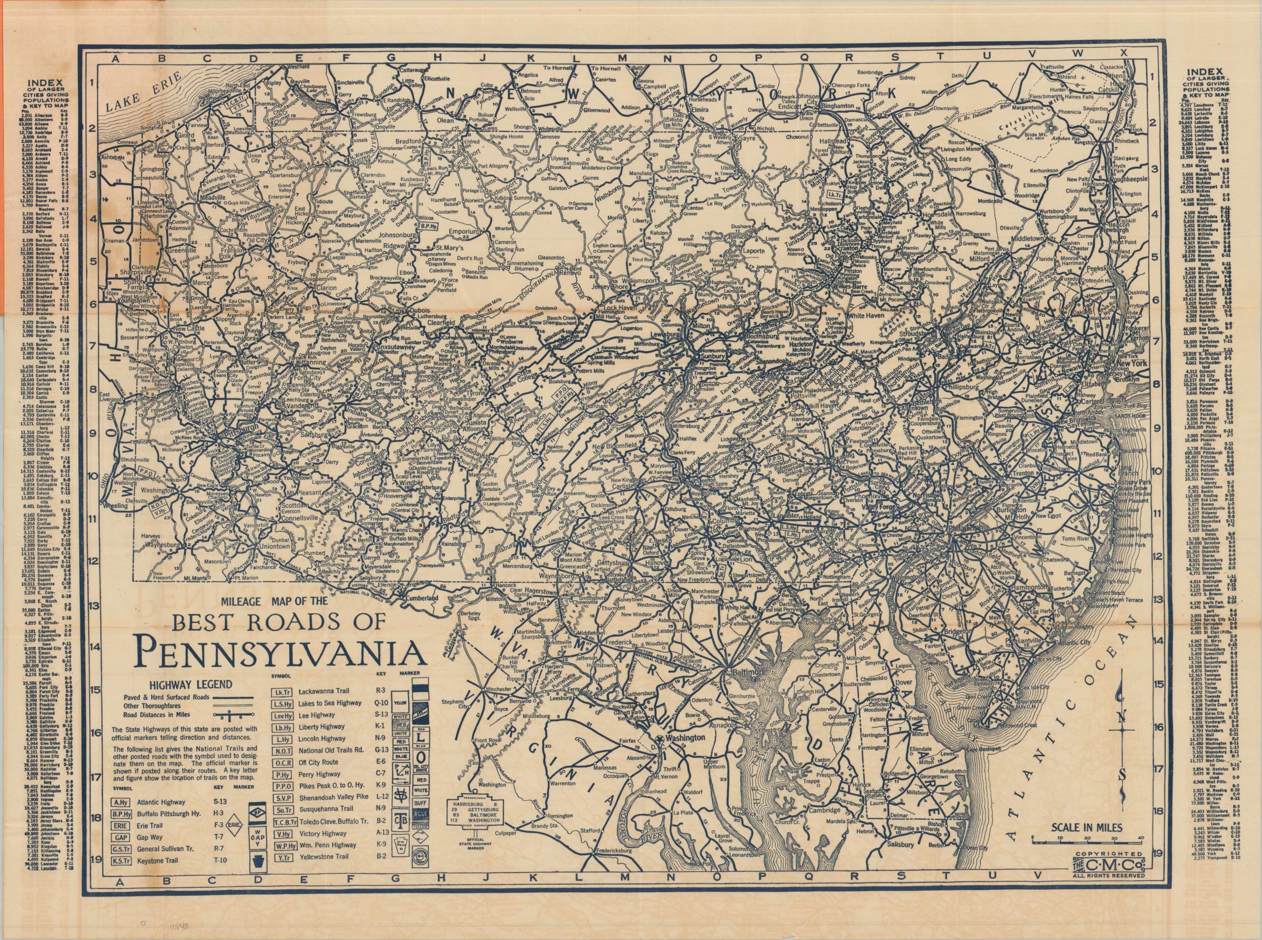
Mileage Map of the Best Roads of Pennsylvania
$125.00
The roads of the Keystone State in the mid-1920s.
1 in stock
Description
This informative road map of Pennsylvania is emblematic of the chaotic network before the standardization offered by the 1926 U.S. Numbered Highway System. Over twenty different auto trails, each privately sponsored and independently signed, are noted with special symbols – often overlapping with one another and the existing Pennsylvania State Highways. These historic pathways range from iconic transcontinental routes like the Lincoln Highway to smaller, regional affairs such as the Lackawanna Trail. Distances between points are noted and two styles of line give a vague indication of road surfaces, but otherwise, it’s up to the motorist to find out specific details about local conditions.
The map was published in 1925 by the Clason Map Company. The front covers indicate this example was distributed by the Yackle Garage of Philadelphia.
Map Details
Publication Date: 1925
Author: Clason Map Company
Sheet Width (in): 28
Sheet Height (in): 21
Condition: B+
Condition Description: Single-sided pocket map folded and affixed to original stiff orange paper wraps, with moderate discoloration as a result from the old adhesive. Creasing, toning, and wear along folds, including several splits, repaired on verso with archival tape. Good condition overall.
$125.00
1 in stock