Middlesex Drawn from an Accurate Survey
$125.00
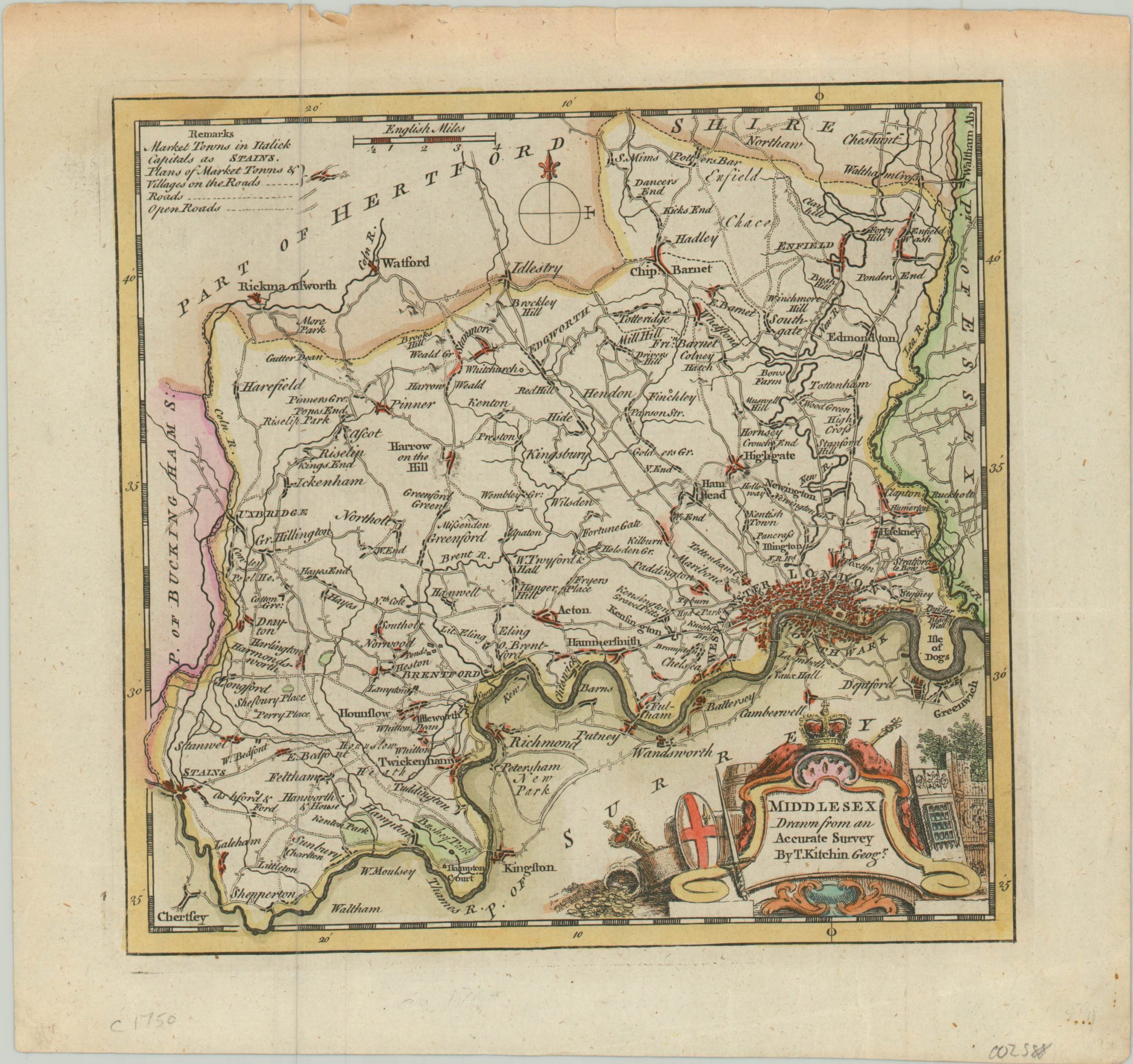
Mid-century map of Middlesex County, including the cities of London, Westminster, and Southwark.
1 in stock
Description
This delightful little map of England’s Middlesex County was drawn and published around 1750 by Thomas Kitchin. It shows an outline of the available transportation routes (roads and open roads, according to the key in the upper left) traversing the county to the various villages, towns, and estates throughout. Small outlines of the market towns are provided, while London is offered only a broad generalization of the urban congestion that plagued the city along the banks of the Thames.
Emblems of the Royal British authority are scattered around the title cartouche and include the Crown, a fortified gate, an obelisk, scepter, and England’s coat of arms.
Map Details
Publication Date: c. 1750
Author: Thomas Kitchin
Sheet Width (in): 9.60
Sheet Height (in): 8.90
Condition: A
Condition Description: Light toning and faint wear across the top of the sheet. Otherwise in near fine condition overall. Features attractive hand color.
$125.00
1 in stock