Michigan Road Atlas Hunting and Fishing Guide
$185.00
Hit the road to explore Michigan’s Great Outdoors.
1 in stock
Description
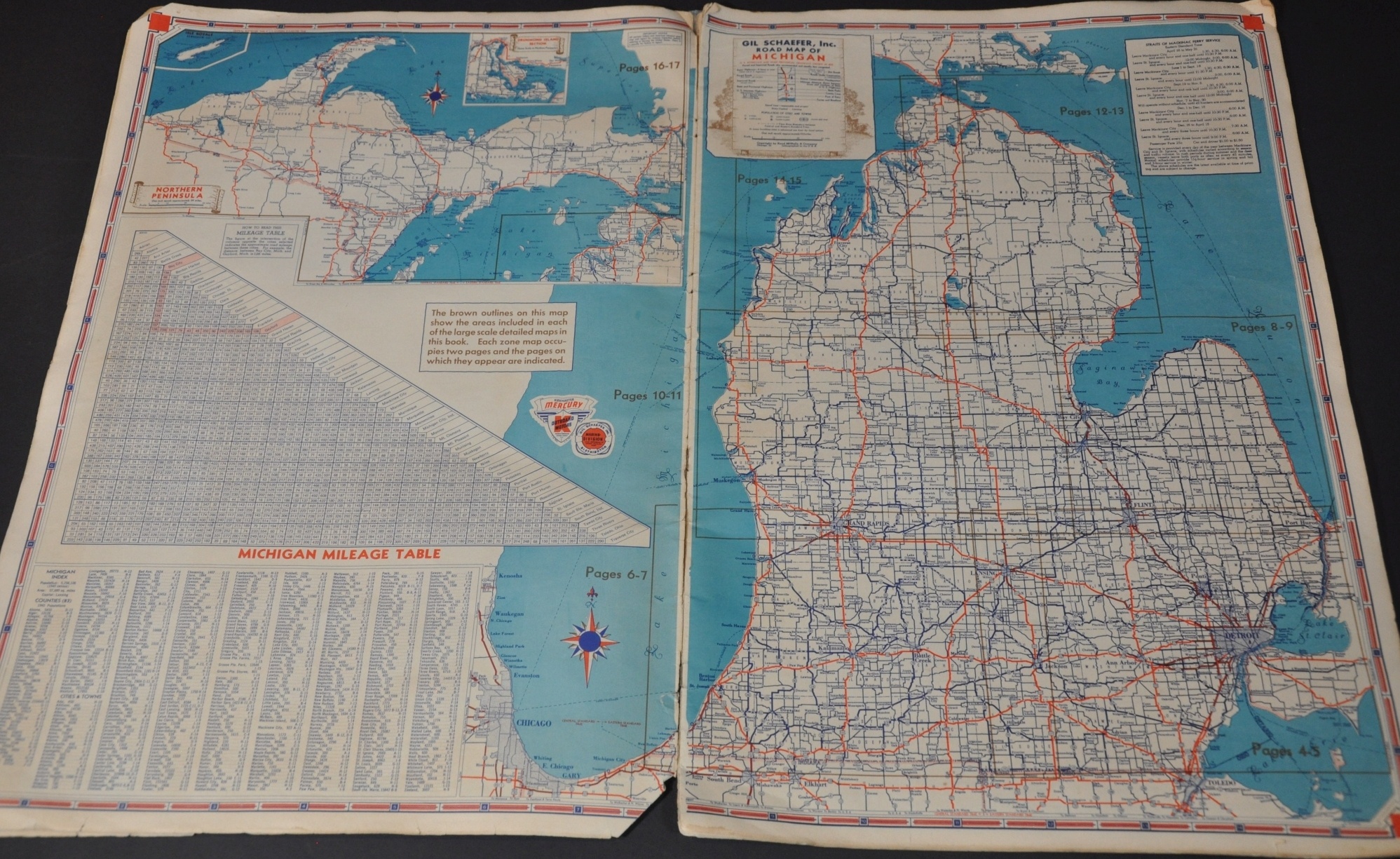
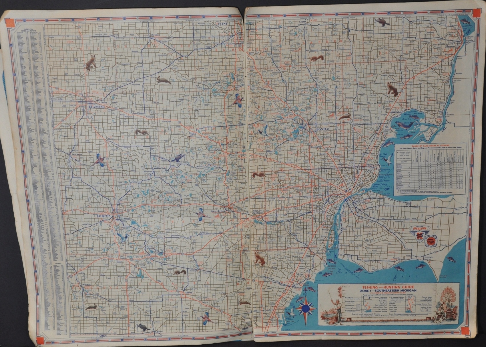
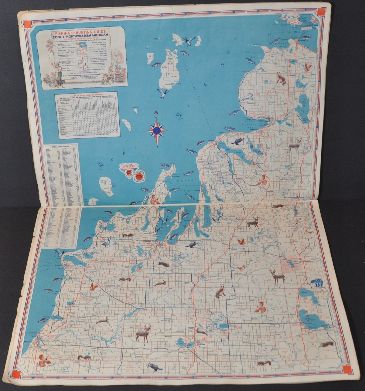
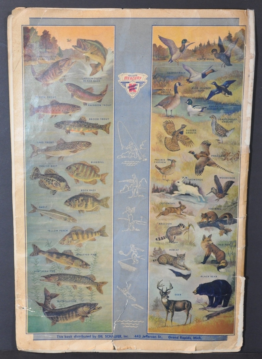
This first edition hunting and fishing guide to Michigan was created in Chicago by Rand McNally in 1950 and distributed by the Marine Division of Gil Schaefer Distributor, Inc. The interesting compilation is part road atlas, part outdoor sporting reference. Illustrated covers emphasize the idealized ‘Great Outdoors’, with an image of a Native American alluding to the civilizing progress of man versus nature.
Detailed road maps of the entire state and mileage tables are accompanied by larger-scale maps broken into seven distinct zones. Each zone map includes additional information on the available game and fish species, with attractive illustrations dotting the image. Campsites, fish hatcheries, fire towers, and other amenities of interest to the nature-lover are also located.
The last four pages are dedicated to a comprehensive index of thousands of Michigan lakes, with corresponding page numbers, acreage, and even popular types of fish available to be caught.
Map Details
Publication Date: 1950
Author: Rand McNally
Sheet Width (in): 13.50
Sheet Height (in): 19.75
Condition: B
Condition Description: 20 pp. atlas, complete, with original paper wraps. Covers are toned, heavily torn, and loose from the contents, which are generally in good shape. Creased corners, a bit of staining confined to the margins, and a few sheets are moderately toned from age.
$185.00
1 in stock


