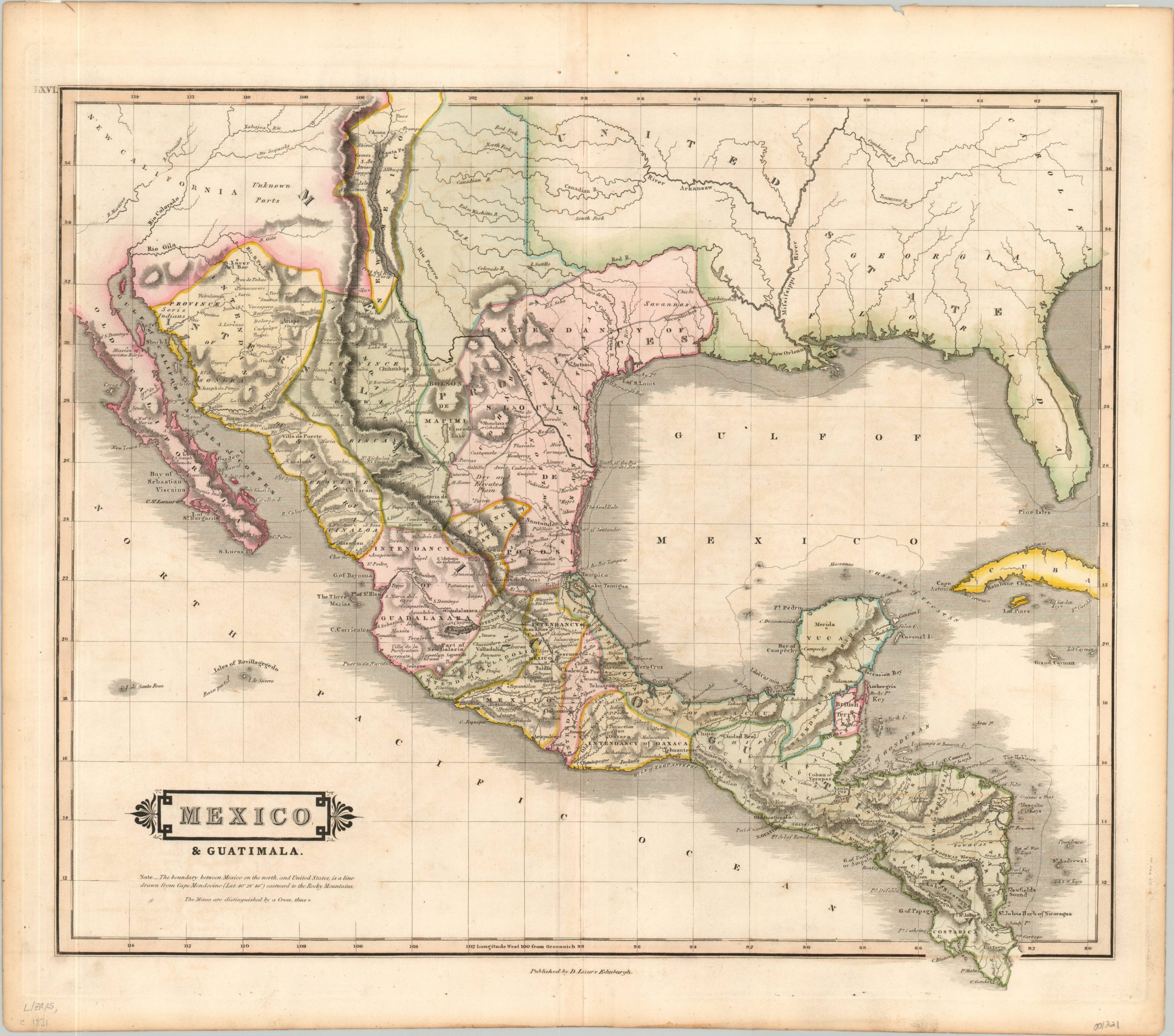
Mexico & Guatimala
$429.00
Detailed hand colored map of the First Mexican Republic.
1 in stock
Description
This attractive copperplate map shows the newly independent states of Mexico and Guatemala; both having thrown the yoke of the Spanish Crown in 1821.
Mexico is depicted in the midst of its First Federated Republic, established in 1824, and colored by labeled intendants. Portions of Texas are included in the Intendancy of St. Louis and Potosi, while the area north of the Colorado River is unlabeled (and largely under the control of the Comanche Indians). The ongoing conflict between local Tejanos and American settlers would soon erupt into the Texas War of Independence, five years after publication.
Guatemala is shown largely unified, with the exception of the British colony of Belize. Primary roads, including El Camino Real, are also shown. Published in Edinburg by Daniel Lizars for his 1831 volume, The Edinburgh geographical and historical atlas. Engraving by John Hamilton.
Reference: Rumsey List No: 0436.062
Map Details
Publication Date: c. 1831
Author: Daniel Lizars
Sheet Width (in): 21.25
Sheet Height (in): 18.60
Condition: A-
Condition Description: Faint spotting and slight toning to the paper from age. Original hand color on a strong sheet with full margins.
$429.00
1 in stock

