Mexico & Guatemala
Original price was: $225.00.$175.00Current price is: $175.00.
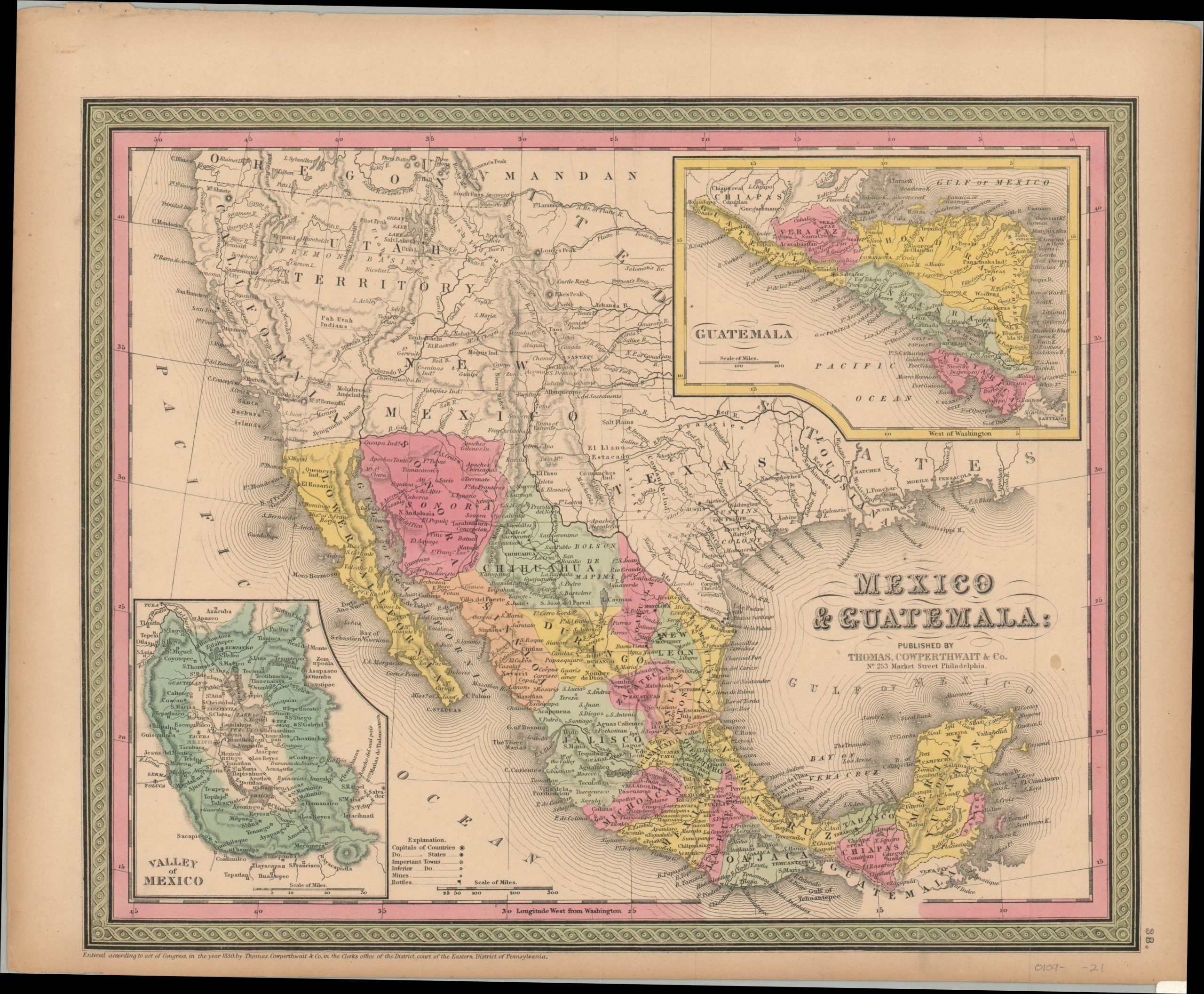
Beautiful mid-century map of Mexico and Guatemala issued a few years after the Treaty of Guadalupe-Hidalgo
1 in stock
Description
This detailed map of the southwestern United States, Mexico and portions of Guatemala and Central America was published in Philadelphia by Thomas, Cowperthwait & Co. in 1850. Attractive hand color highlights the decorative border and distinguishes between the various provinces of each country – both having declared independence from Spain several decades prior.
Inset maps show further details in an area around Mexico City and the various national of Guatemala, several of which would splinter into further independence movements in the years following publication. Mines and battlefields (indicative of contemporary American opinions of Mexico) are identified with symbols according to the legend in the lower center. Major transportation routes are shown and topography is depicted in hachure.
Also of interest is the depiction of the western United States, which had granted California statehood shortly after the discovery of gold in 1848. The Utah Territory features a large area labeled Fremont’s Basin, the border with Mexico remains inconclusive, and numerous Native American tribes are named.
Map Details
Publication Date: 1850
Author: Thomas, Cowperthwait & Co.
Sheet Width (in): 16.75
Sheet Height (in):
Condition: A-
Condition Description: Slightly toned around the outer edges, consistent with age. One small spot in the center right, but remains in very good condition overall. Original hand color.
Original price was: $225.00.$175.00Current price is: $175.00.
1 in stock

