
Metropolitan Borough of Southwark
$300.00
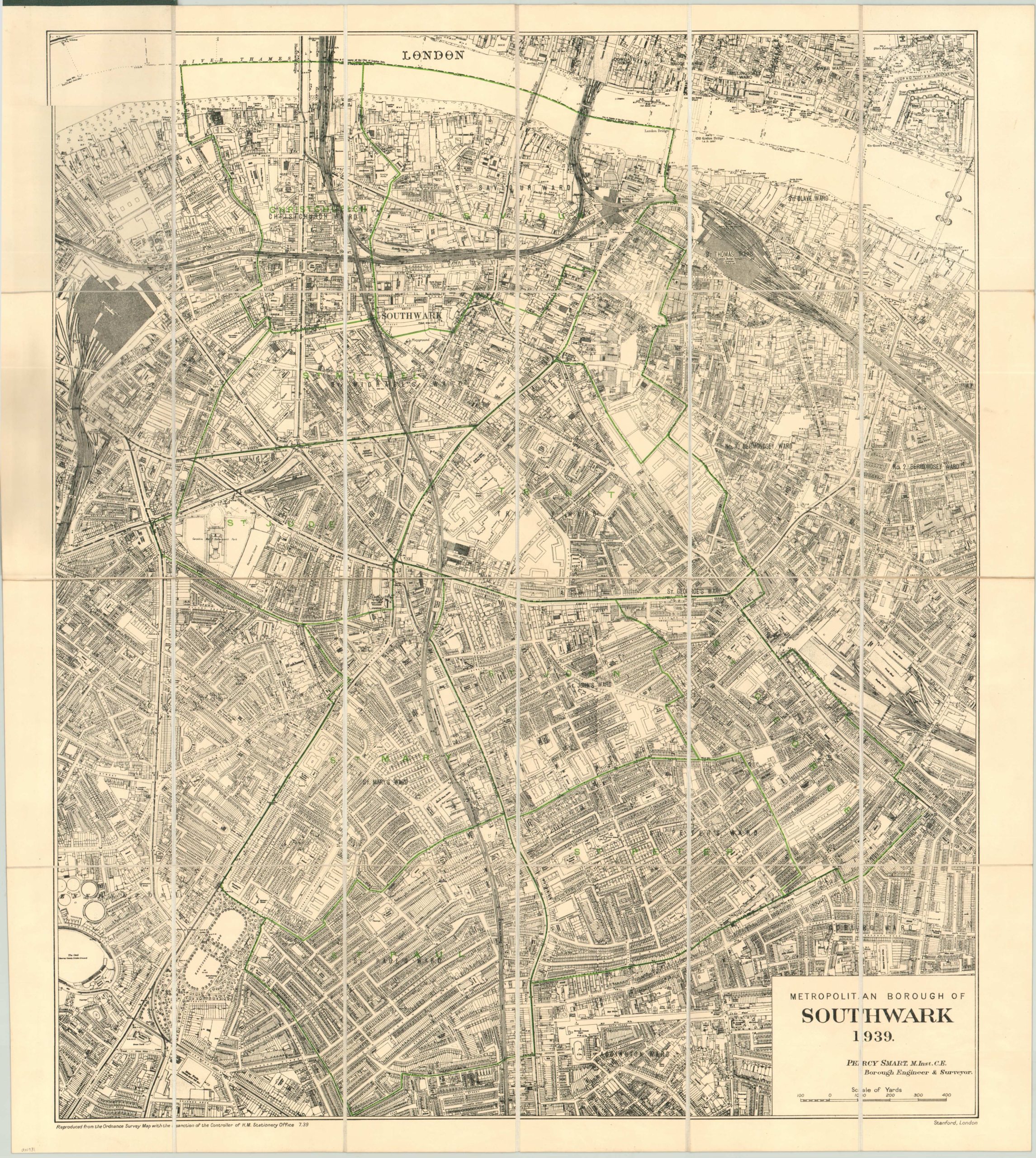
Incredibly detailed prewar map of the borough of Southwark.
Description
The meticulousness of the Ordnance Survey is displayed on this map of Southwark in which the borough’s wards have been overlaid in green ink across the OS base map. Buildings are shown individually and each of the area’s many medieval streets is legibly labeled. The boundaries of the borough extend from the middle of the River Thames to St. Paul’s Ward, adjacent to Kennington Park.
The sheet was designed by borough engineer Percy Ward and published in London by Stanford’s in 1939. Less than a year later, the first bombs would drop on Southwark and nearby London and forever change the landscape of both.
The map is dissected into twenty panels and mounted on linen. Folds into original green boards.
Map Details
Publication Date: 1939
Author: Percy Smart
Sheet Width (in): 26.00
Sheet Height (in): 29.00
Condition: A
Condition Description: The map is in near new condition. A crisp impression on a bright sheet, folding to 20 sections and mounted on linen.
$300.00