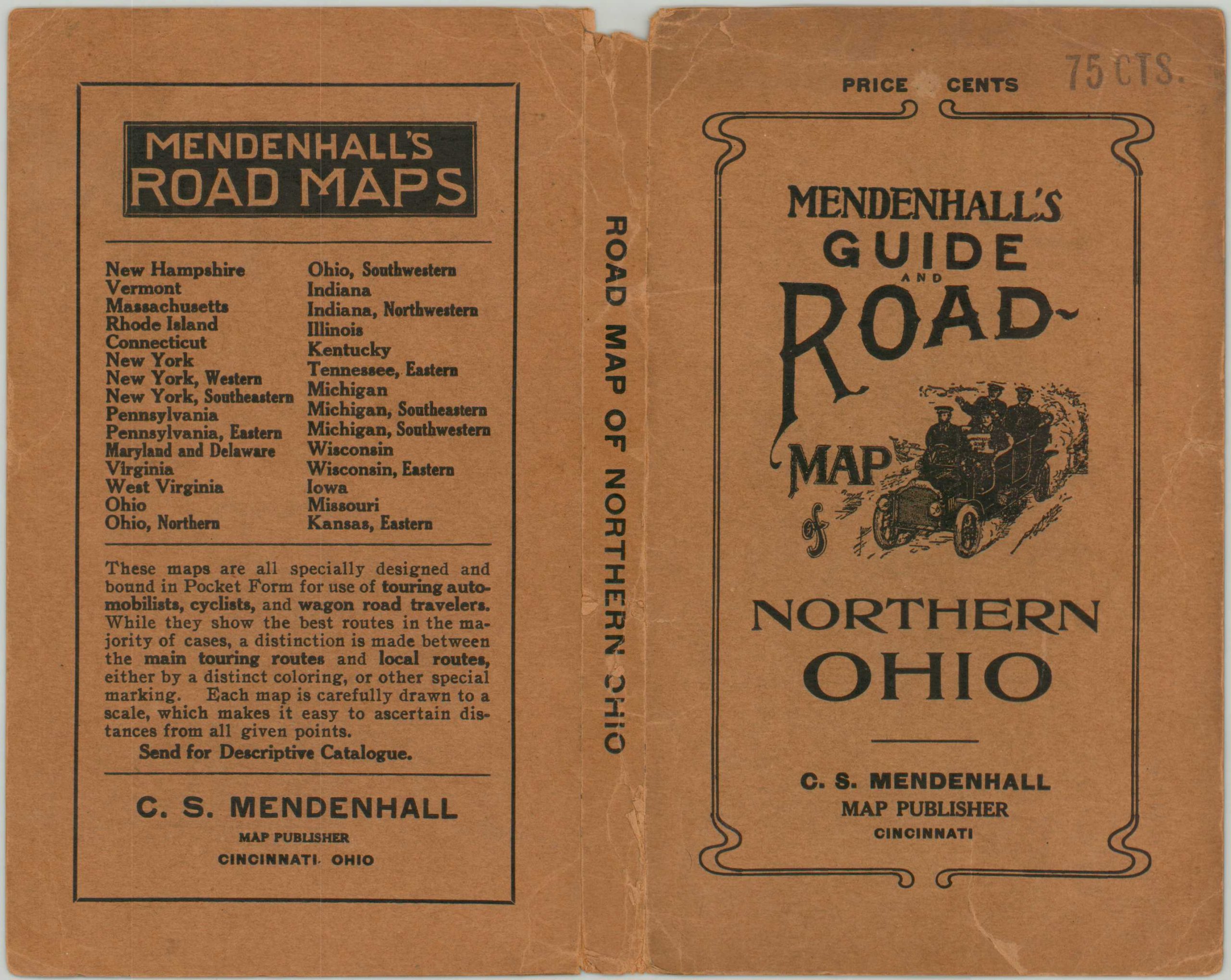
Mendenhall’s Guide and Road Map of Northern Ohio
Early 20th century road map of northern Ohio.
Out of stock

Description
This fascinating road map of northern Ohio was published in Cincinnati by C.S. Mendenhall in 1913. It shows the slow but steady evolution of the road network alongside the more recognized system of railroads in operation across the state, at least at the time. Touring routes are highlighted in red according to the legend in the upper center, while train stations, post offices, and geographic features are labeled within the image.
The unimproved road network in the southeast shows a marked contrast from the more orderly grid depicted elsewhere. Text on the back cover describes in further detail this, and other maps published by Mendenhall;
“These maps are all specially designed and bound in Pocket Form for use of tourist automobilists, cyclists, and wagon road travelers. While they show the best routes in the majority of cases, a distinction is made between the main touring routes and local routes, either by a distinctive coloring, or other special marking. Each map is carefully drawn to a scale, which makes it easy to ascertain distances from all given points.”
Map Details
Publication Date: 1913
Author: C.S. Mendenhall
Sheet Width (in): 33.6
Sheet Height (in): 21.7
Condition: B
Condition Description: Former pocket map originally issued folded into 45 segments. Now separated from original brown stiff paper wraps (though they are present). Separation along fold lines has been repaired extensively on the verso, but a few small holes on the left side remain where formerly affixed to the covers. A bright sheet, slightly brittle, remains vibrant and in good condition overall.
Out of stock