Mare Rubrum
$75.00
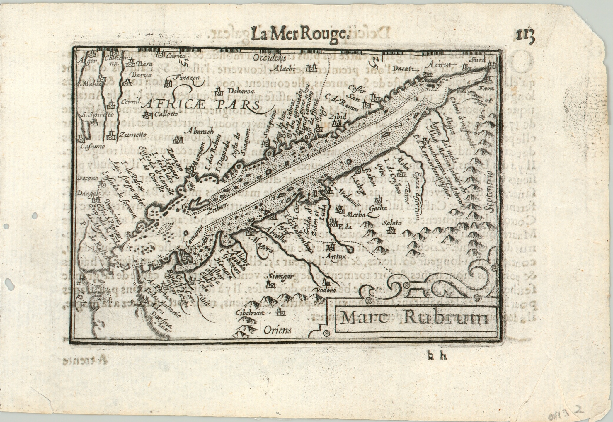
Miniature map of Egypt and the Red Sea from a 17th century atlas.
1 in stock
Description
Ships have been plying the waters of the Red Sea since the ancient Egyptians, and it has long played an important role in the economic exchange between east and west.
This map, oriented with west at the top, shows the sea between Egypt and the Arabian Peninsula and includes simplified topography, place names, and coastal details.
This particular example was included in a French edition of the Caert-Thresoor. This miniature atlas was first published by Barent Langenes in 1598 and would ultimately be printed at least twelve times in Dutch, French, German, and Latin editions. French text on verso.
Map Details
Publication Date: c. 1602
Author: Barent Langenes
Sheet Width (in): 6.9
Sheet Height (in): 4.75
Condition: A-
Condition Description: Faint soiling and two wormholes in the left margin. Some text on verso shows through. A bold impression on a professionally cleaned sheet.
$75.00
1 in stock

