
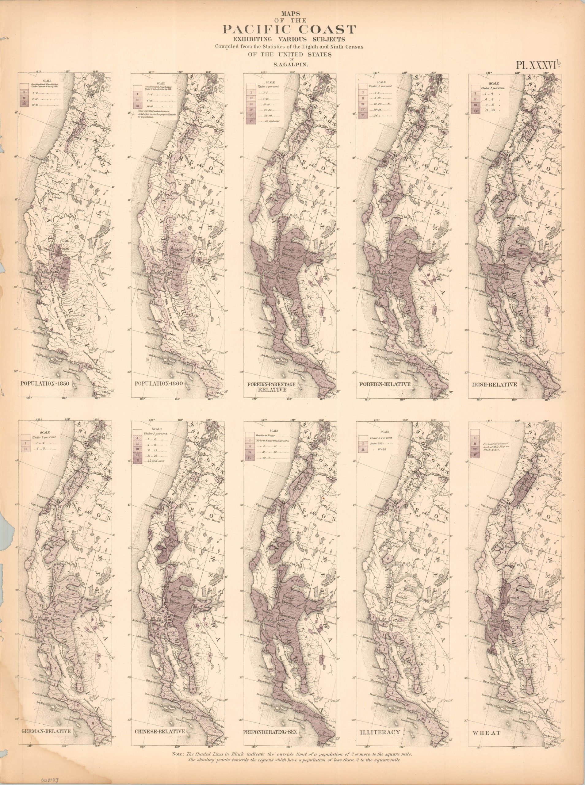
Maps of the Pacific Coast Exhibiting Various Subjects
$60.00
Visualizing different elements of America’s West Coast during the Reconstruction Era.
1 in stock
Description
This interesting assortment of maps was compiled by Samuel Galpin of the U.S. Census Bureau. Ten color images covering the Pacific Coast from San Diego to the Olympic Peninsula highlight a variety of contemporary concerns, including population statistics, the concentration of different foreigners, crop distribution, and rates of illiteracy.
The sheet was originally issued as part of The Statistical Atlas of the United States Based on the Results of the Ninth Census, 1870, compiled by Census Superintendent Francis A. Walker. Lithographed by Julius Bien and published in 1874. The atlas serves as the ultimate 19th-century “data portrait” of a reunified nation, meticulously synthesizing geography, climate, and demographics into a visual manifesto of America’s industrial and economic potential.
Map Details
Publication Date: 1874
Author: S.A. Galpin
Sheet Width (in): 16.25
Sheet Height (in): 21.75
Condition: B
Condition Description: Lithographed sheet on somewhat brittle paper. Ragged left edge with a large chip and damp stained lower left corner. Toned margins.
$60.00
1 in stock