
Maps of the Lakes & Drives in the Vicinity of Oconomowoc & Waukesha
$350.00
A Progressive-era snapshot of the ‘Newport of the West.’
1 in stock
Description
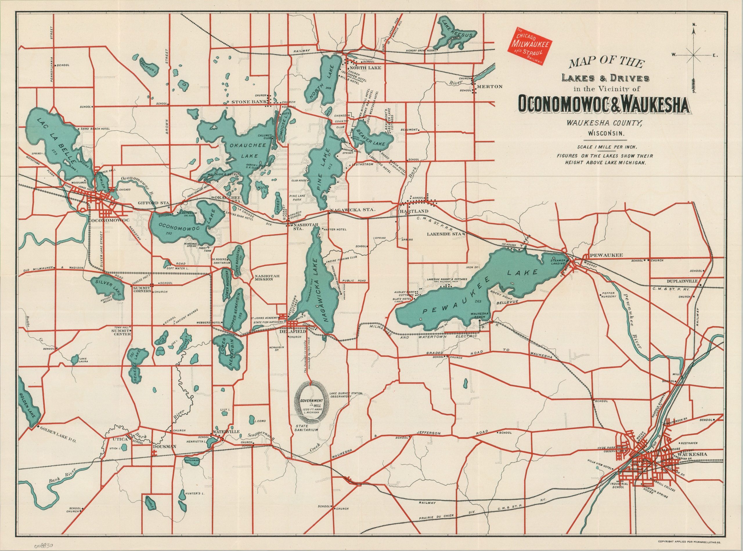
This scarce large-scale pocket map, issued at one inch = one mile, provides an intimate look at Waukesha County, Wisconsin, during its heyday as a playground for the elite of Chicago and Milwaukee. Bright red lines highlight the abundance of roads, allowing for extensive traveling freedom for those who could afford an automobile. Steam and electric railways are also noted, with regional access provided by the Chicago, Milwaukee & St. Paul Railroad (The Milwaukee Road).
A fascinating variety of locations of interest are labeled throughout, ranging from important industries and local infrastructure (schools, dairy farms, cheese factories) to religious and medical institutions, luxury hotels, and country clubs. Of particular note are the iconic Pabst Farm (opened in 1906, a helpful mechanism for dating the piece), the Nashotah Mission, Draper Hall, St. John’s Academy, and the observatory atop Government Hill (now Lapham Peak).
The map was created by the Milwaukee Lithograph Company and issued around 1910 by the Passenger Department of the Milwaukee Road. The railroad issued several similar ephemeral promotional maps from the 1880s into the 1920s to encourage tourism to the region. This particular example is quite scarce, with only one listing in WorldCat, at the Wisconsin Historical Society.
Map Details
Publication Date: c. 1910
Author: Milwaukee Lithograph Company
Sheet Width (in): 19.50
Sheet Height (in): 14.50
Condition: A-
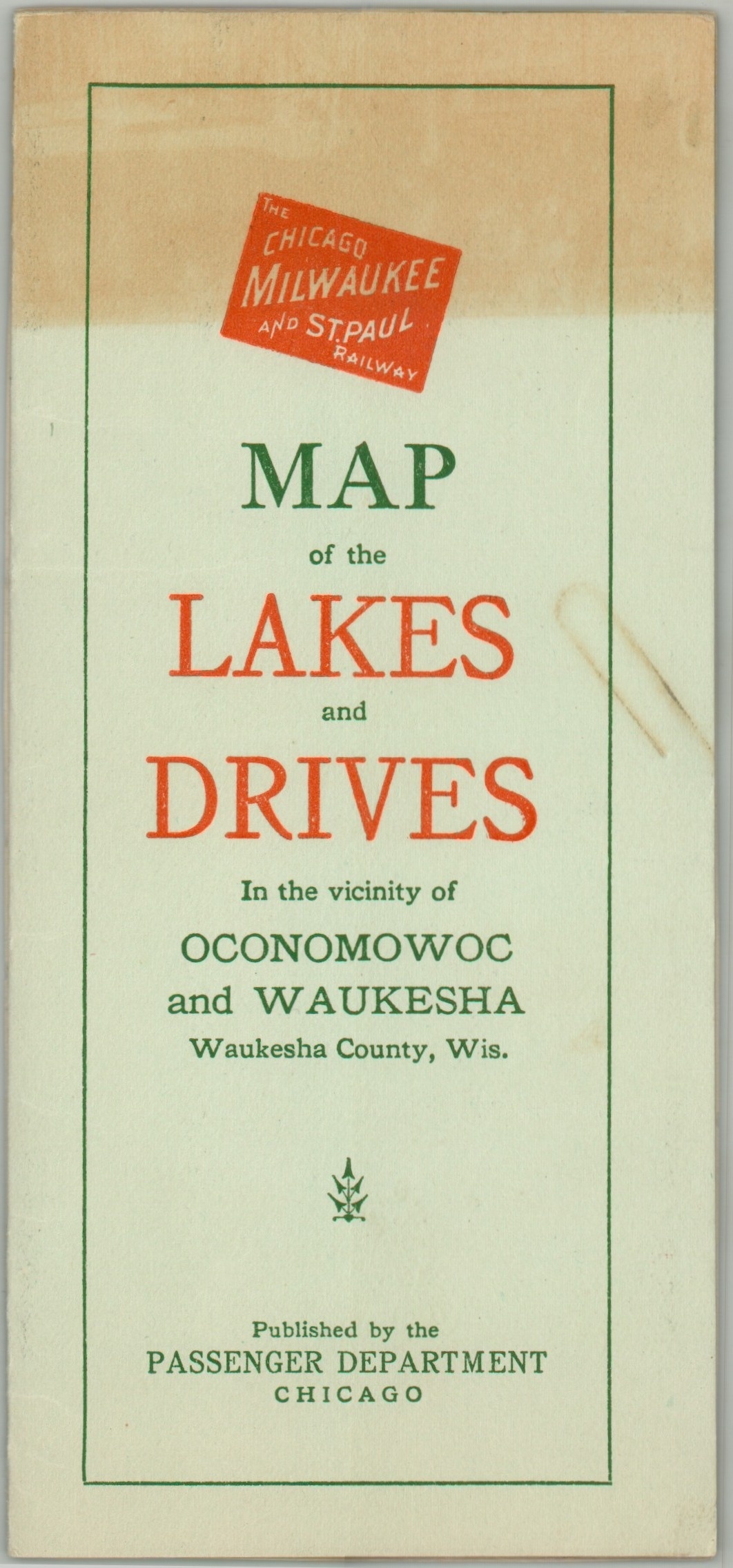
Condition Description: Color printed map on a single-sided sheet of glossy paper, folded and affixed to original green paper wraps (which show some toning). A small edge tear in the lower left repairs on verso, but otherwise in very good to near fine condition.
$350.00
1 in stock