
Maps of City of Denver and State of Colorado [Title on Cover]
$175.00
A punchy early road map of Colorado.
1 in stock
Description
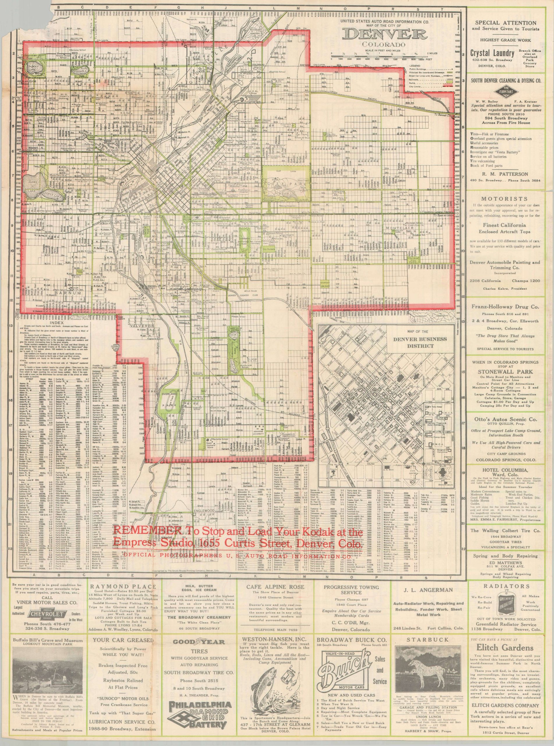
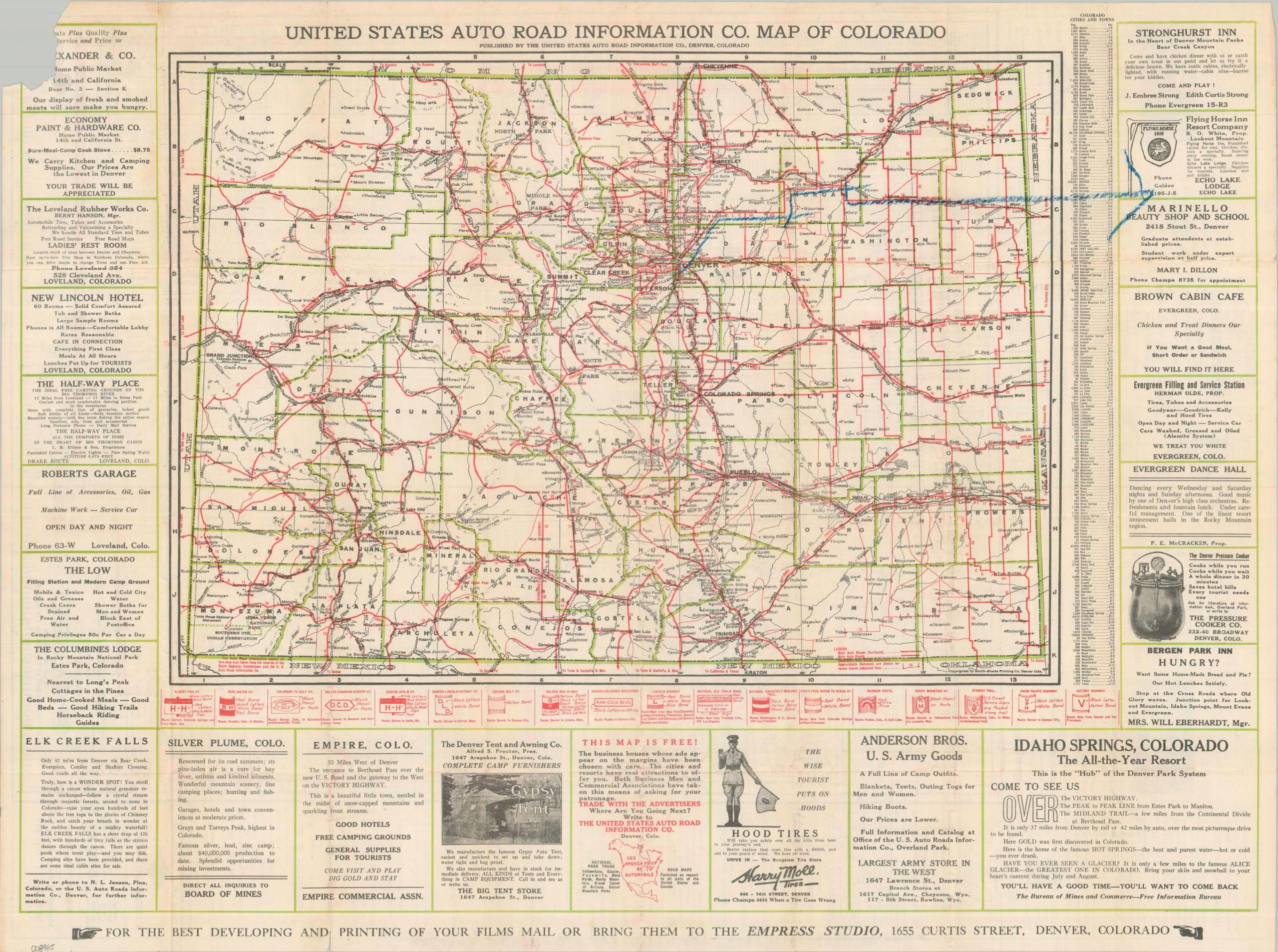
This uncommon, and uncommonly useful, pocket map presents an engaging overview of the Centennial State from the early 1920s. One side of the sheet offers a road map of Colorado, with various auto trails brightly highlighted in red and listed along the lower edge. A border of advertisements promotes an interesting variety of local businesses and destinations that cater to motor tourists, including the Evergreen Dance Hall, Idaho Springs Resort, and the Denver Tent and Awning Company. The verso of the sheet shows a street plan of Denver with a large-scale inset of the downtown business district. Parks and boulevards are highlighted in green, numerous locations of interest are labeled, and further ads are present around the edges.
The base map is credited to the Smith-Brooks Printing Company of Denver, though the publisher was the United States Auto Road Information Company. The firm’s official photographers, Empress Studio, is also heavily featured on the covers and with red overprinting. Bold text reminds the audience to “Keep a Photographic Record of the Trip.” Undated, but likely issued around 1924 due to the presence of the Victory Highway and the paving of the Berthoud Pass.
Map Details
Publication Date: c. 1924
Author: U.S. Auto Road Information Company
Sheet Width (in): 27.60
Sheet Height (in): 21.00
Condition: B
Condition Description: Double-sided pocket map roughly removed from brown paper wraps, resulting in a 2" square tear in the upper corner. A large blue oil arrow written on the map of Colorado. Creasing and wear along folds, including some small holes at the fold joints and small marginal tears. About good condition overall.
$175.00
1 in stock