
Maps of Chicago Elevated Railways and Union Loop
$650.00
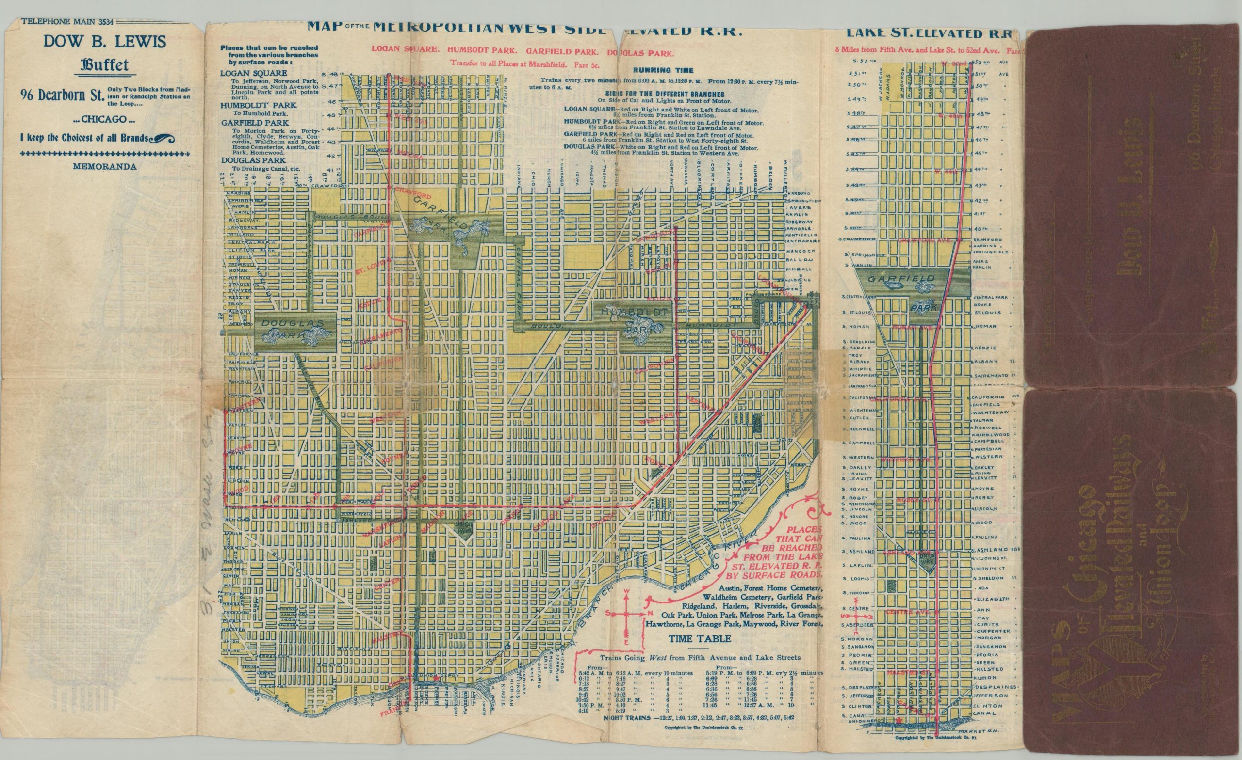
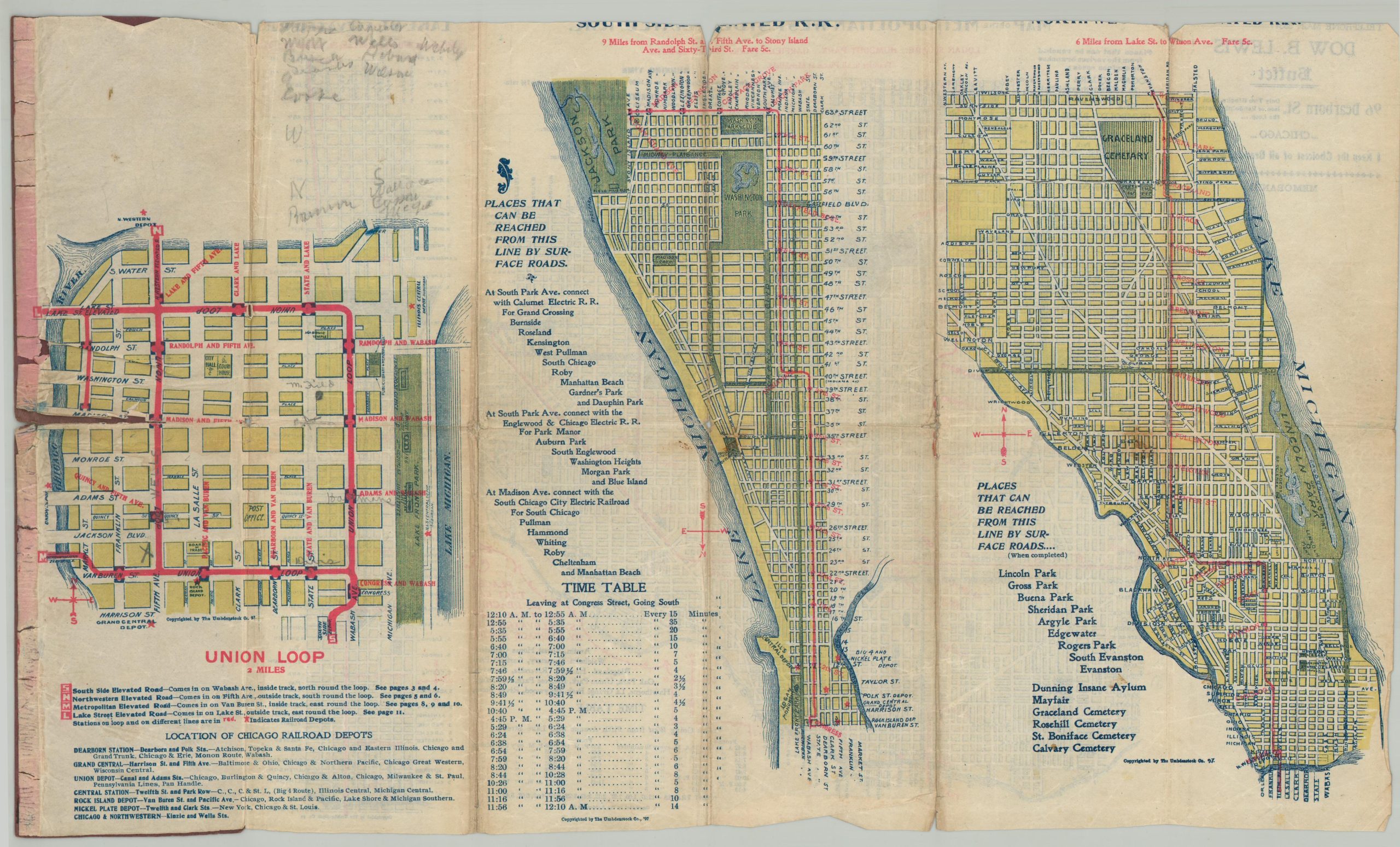
A scarce pocket map showing the origin of Chicago’s Loop.
1 in stock
Description
This very rare pocket map highlights Chicago’s disparate transit system near the end of the 19th century, when local control was bitterly contested between Charles Tyson Yerkes and local politicians. Five different plans note the various operators across different regions and the suburbs – Lake St. Elevated; Metropolitan West Side Elevated, Union Loop, South Side Elevated Railroad, and the Northwestern Elevated. Many of the available lines were horse-drawn streetcars, though the first elevated rails (introduced in 1892) proved quite popular at relieving congested traffic.
The Union Loop opened in 1897, connected the formerly disparate elevated systems and greatly increased convenience. The convenient guide was distributed by the Dow B. Lewis Buffet on Dearborn Street.
Map Details
Publication Date: 1897
Author: The Umbdenstock Co.
Sheet Width (in): 18.75
Sheet Height (in): 11.25
Condition: B-
Condition Description: Double-sided pocket map, quite ragged, though still legible and affixed to the original stiff red paper wraps. Heavy tearing and toning along old folds, with some marginal loss affecting the titles. One large tear, about 2", in the map of the Union Loop. Fair condition overall.
$650.00
1 in stock