
MAPEASY’s Guidemap to Chicago
$50.00
Chicago, illustrated, in the early 1990’s.
1 in stock
Description
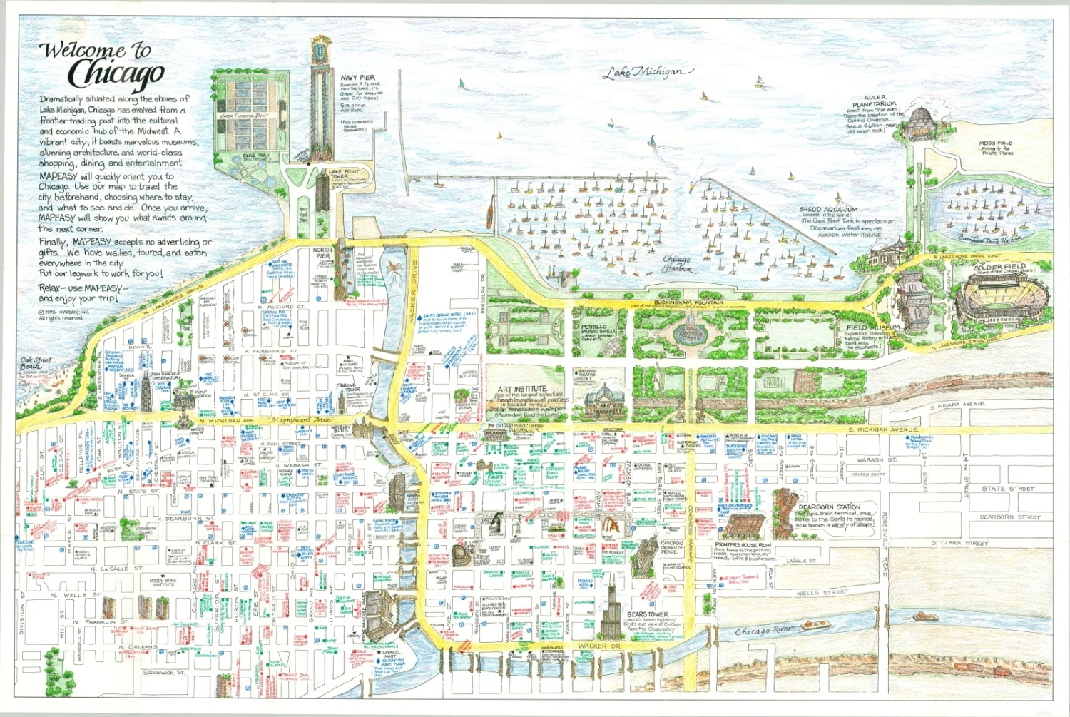
This attractive and colorful map of Chicago, Illinois provides a local’s perspective on the Second City, situated on the shore of Lake Michigan. The view is oriented with east at the top and encompasses Chicago’s Loop, River North, and Museum Campus areas.
Major landmarks like the Sears Tower, Navy Pier, Soldier Field, and the Art Institute are shown with outsized illustrations and bold labels. Less iconic structures are also represented, such as the city’s numerous bridges, its distractive residential architecture, and the verdant parks. Restaurants, hotels, and retail outlets are shown in red, blue, and green, respectively. The verso includes similarly styled maps showing the Magnificent Mile, Chicago shoreline, and a broader map for day trips in northwestern Illinois.
Published in 1992 by MapEasy, Inc. of Amagansett, New York.
Map Details
Publication Date: 1992
Author: MapEasy, Inc.
Sheet Width (in): 35.5
Sheet Height (in): 23.75
Condition: B+
Condition Description: Quarter sized damp stain in the upper right corner. Moderate creasing and wear along former fold lines, including pinholes at fold intersections and tiny tears along the outer edges.
$50.00
1 in stock