Mapa Postovnich Krusu v Zemi Moravskoslezske [Postal Map of Moravia-Silesia]
$225.00
Adjusting to a new life in eastern Czechoslovakia.
1 in stock
Description
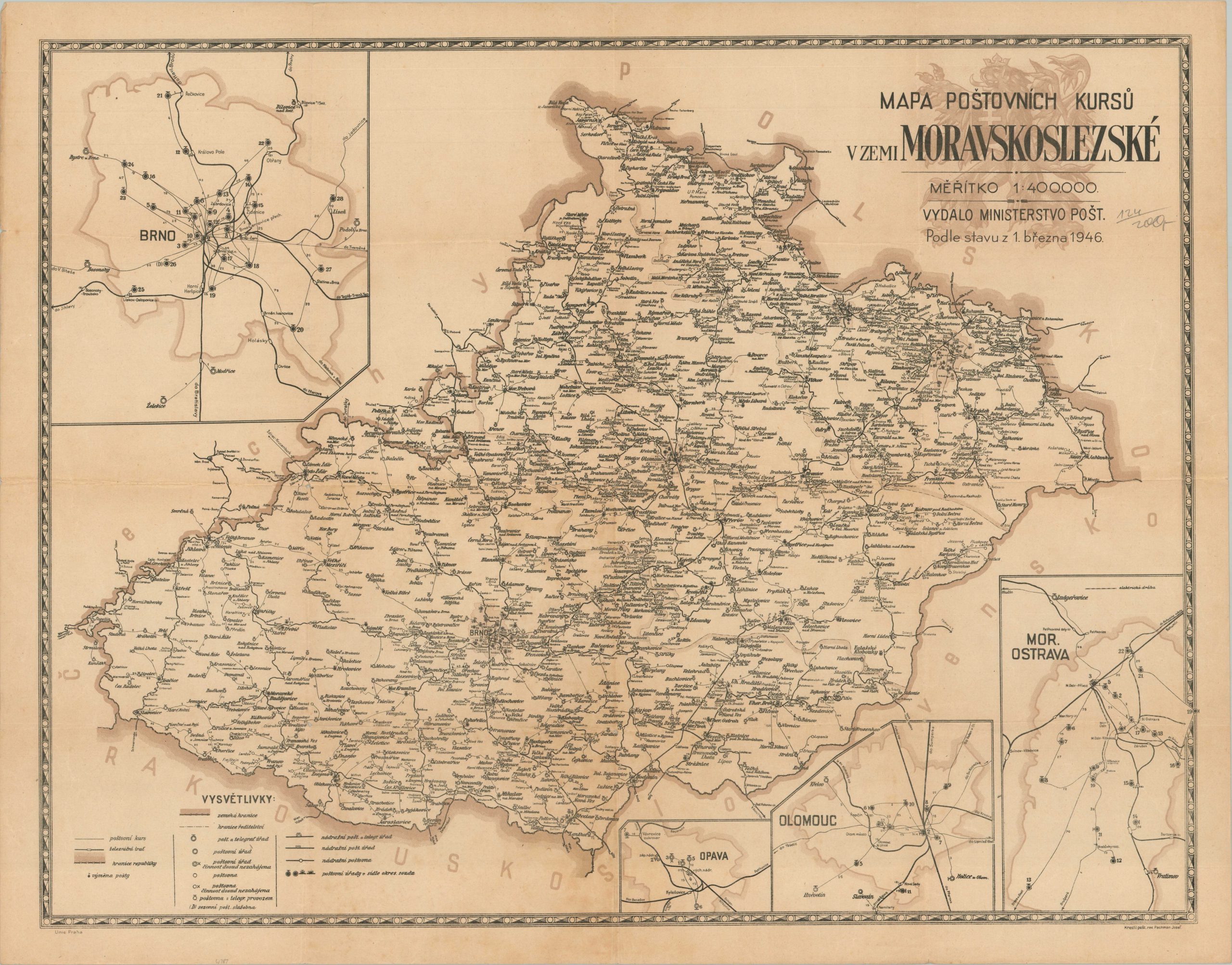
This uncommon postwar map of the eastern Czech Republic was drawn by Postal Assistant Josef Pachman and published in Prague in 1946 by the Ministry of Post. It shows the mail routes in operation across the historic region of Moravia-Silesia, presented almost as an enclave within the broader nation. A legend in the lower left identifies the various symbols used to denote important features of the network – postal stations (completed and proposed, with or without telegraphs), mail exchanges, seasonal offices, administrative regions, and more. Inset maps show additional details in the large urban areas – Brno, Ostrava, Opava, and Olomouc.
Map Details
Publication Date: 1946
Author: Josef Pachman
Sheet Width (in): 31.4
Sheet Height (in): 21.6
Condition: A-
Condition Description: Creasing and light wear along old fold lines and along the outer edges of the sheet. Small pinholes at fold intersections and very faint toning visible in the lower center of the image. Good to very good condition overall. Blank on verso.
$225.00
1 in stock

