
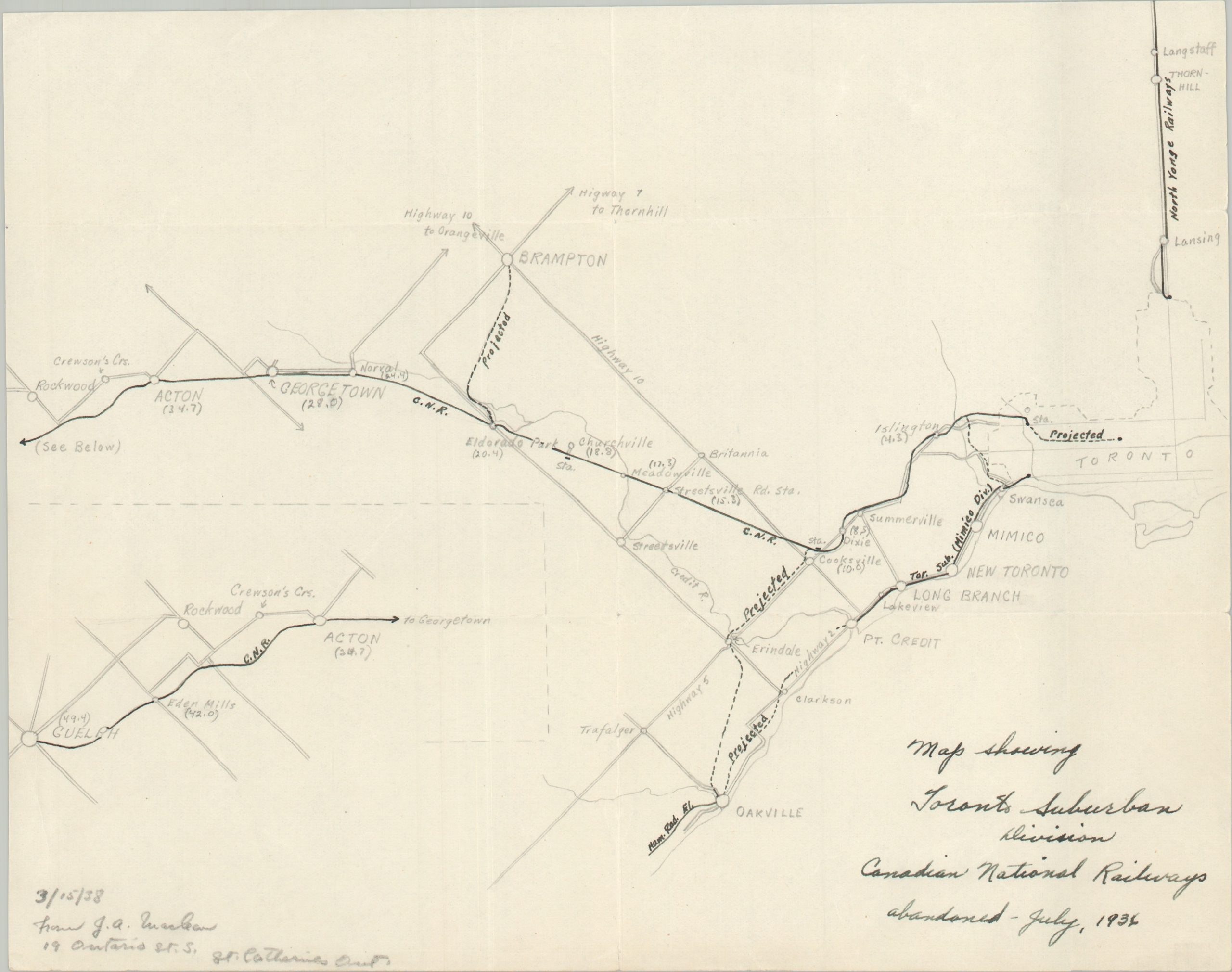
Map Showing Toronto Suburban Division Canadian National Railways Abandoned – July, 1936
$95.00
The former interurban lines of the Canadian National Railway’s Toronto Suruban Division.
1 in stock
Description
This carefully crafted map outlines the interurban services formerly operated west of Toronto by the Toronto Suburban Division of Canadian National Railways. Regional trolley service began in the late 19th century, with successive companies gradually expanding the network to Long Branch, Port Credit, Georgetown, Acton, and Guelph. These communities are among the various suburban towns served by the former interurban lines, with a projected connection to Oakville and unrealized plans for an extension to Brampton. As noted in the title, the lines had been abandoned and largely dismantled by the 1930s. This ode to the former system was hand-drawn in 1938 by Frank G. A. Maclean, a resident of St. Catharines, Ontario.
Map Details
Publication Date: 1938
Author: Frank G.A. Maclean?
Sheet Width (in): 10.90
Sheet Height (in): 8.40
Condition: A
Condition Description: A precisely sketched base map, in pencil, overlaid with black ink (all manuscript). Some faint erase marks and soft creasing in the corner, but overall in very good to near fine condition.
$95.00
1 in stock