
Map Showing the Locations of the Butter and Cheese Factories in the State of New York
$95.00
New York’s impressive dairy industry in the late 19th century.
1 in stock
Description
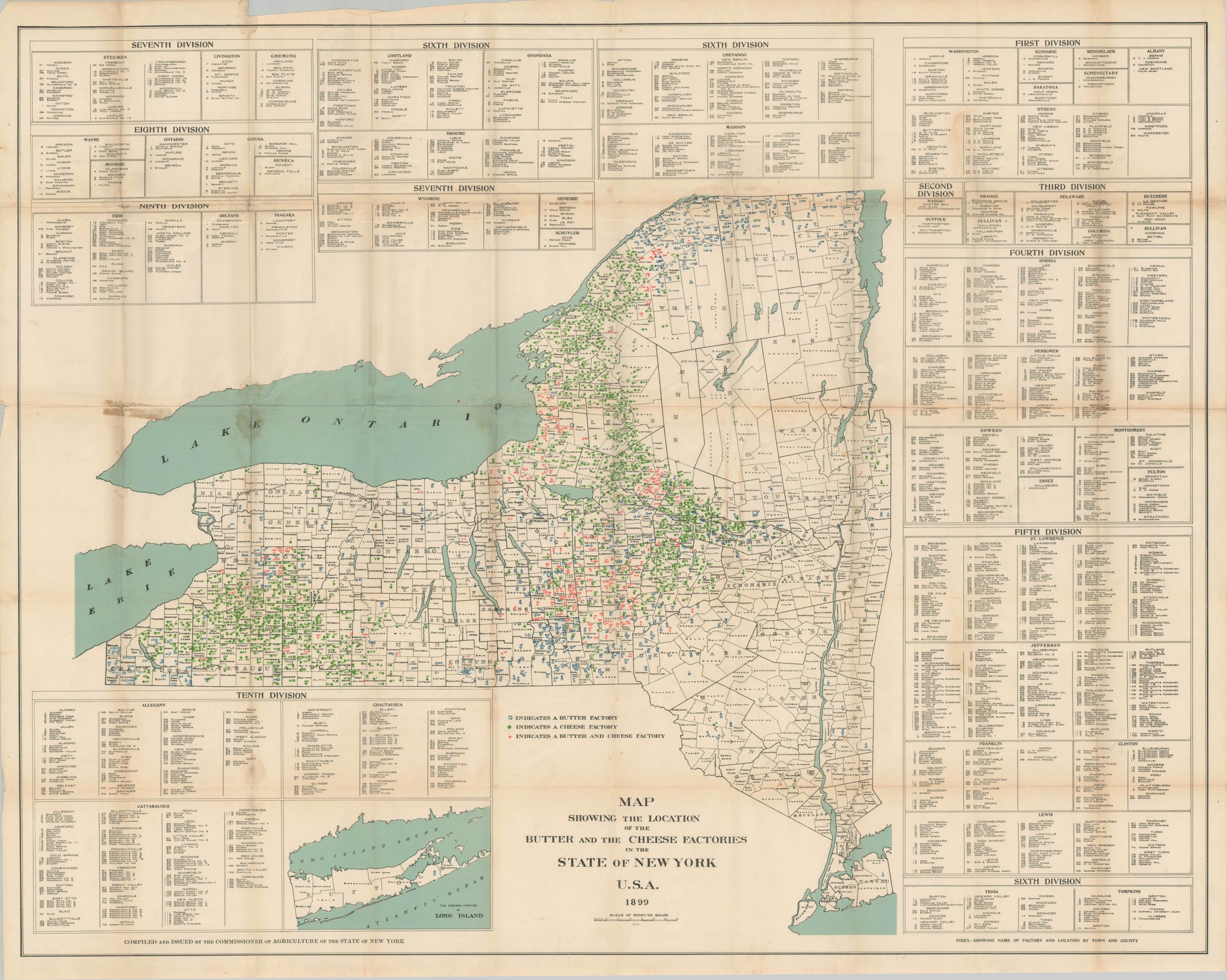
This massive map pinpoints the locations of scores of cheese factories, butter factories, and combinations thereof across New York State. Tables along the outer edge, organized by county across ten divisions, name each operator. The Mohawk, Black, and Genesee Rivers appear to be particularly rich sources of fodder for dairy cows.
Published in 1899 by the Commissioner of Agriculture for the State of New York. The dairy industry remains the largest single segment of New York’s agricultural industry – the state ranks fourth in nationwide production.
Map Details
Publication Date: 1899
Author: Commissioner of Agriculture for the State of New York
Sheet Width (in): 52.5
Sheet Height (in): 42.5
Condition: B
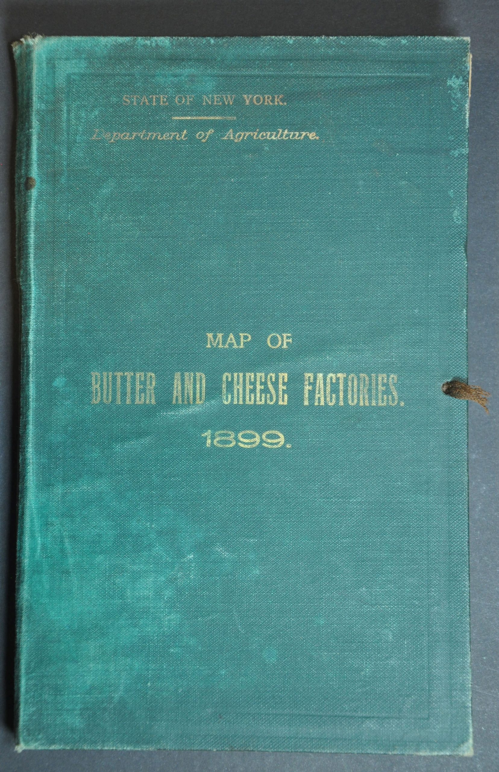
Condition Description: Large color lithographed sheet disbound from original green cloth covers (present). Heavy wear along old folds, including toning and several spots of separation. Some old repairs on the verso, mostly archival but also a bit of yellowed cellophane. Some staining and discoloration visible in a few areas (see eastern part of Lake Ontario, for example). About good condition overall.
$95.00
1 in stock