Map Showing original Boundary of the Crow Indian Reservation – Montana – and proposed cession to the United States
Uncommon map showing Native American land cessions along the Yellowstone River.
Out of stock

Description
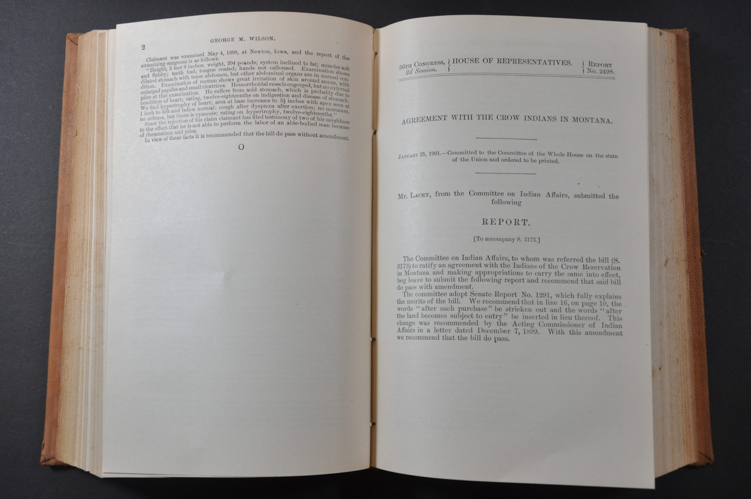
“The treaty with the Crow Indians…cedes to the United States about 1,137,500 acres of desirable land in the Yellowstone Valley, in the state of Montana. About 200,000 acres of the tract are fertile bottom lands of the Yellowstone and Big Horn Rivers and their tributaries. This bottom land, when irrigated, will prove of unsurpassed fertility, and an abundance of water is available in the streams named to irrigate all of the land in question.” [Accompanying report].
This detailed map of Montana’s Crow Reservation was drawn by Sydney Arnold and published in a Congressional report for the second session of the House of Representatives in 1900. The reservation was first established at its maximum extent in 1868, but large portions were ceded to the United States in 1882, 1892 and 1906.
The proposed area for annexation is highlighted in yellow while red overprinting identifies ditches and irrigation improvements (incentives for Native support). Settlements, geographic features, and locations of interest like the Crow Agency, St. Xavier Mission, and Old Fort are identified. The accompanying text stipulates that $1,150,000 was authorized to purchase the land – less than $1/acre.
Map Details
Publication Date: 1900
Author: Sydney Arnold
Sheet Width (in): See Description
Sheet Height (in): See Description
Condition: A
Condition Description: Folding map measures 13.5" x 14.25" and is part of a larger multi-report volume bound in original full leather. Contents are complete and in very good condition, with slight toning on the fore-edge and moderately worn covers.
Out of stock