
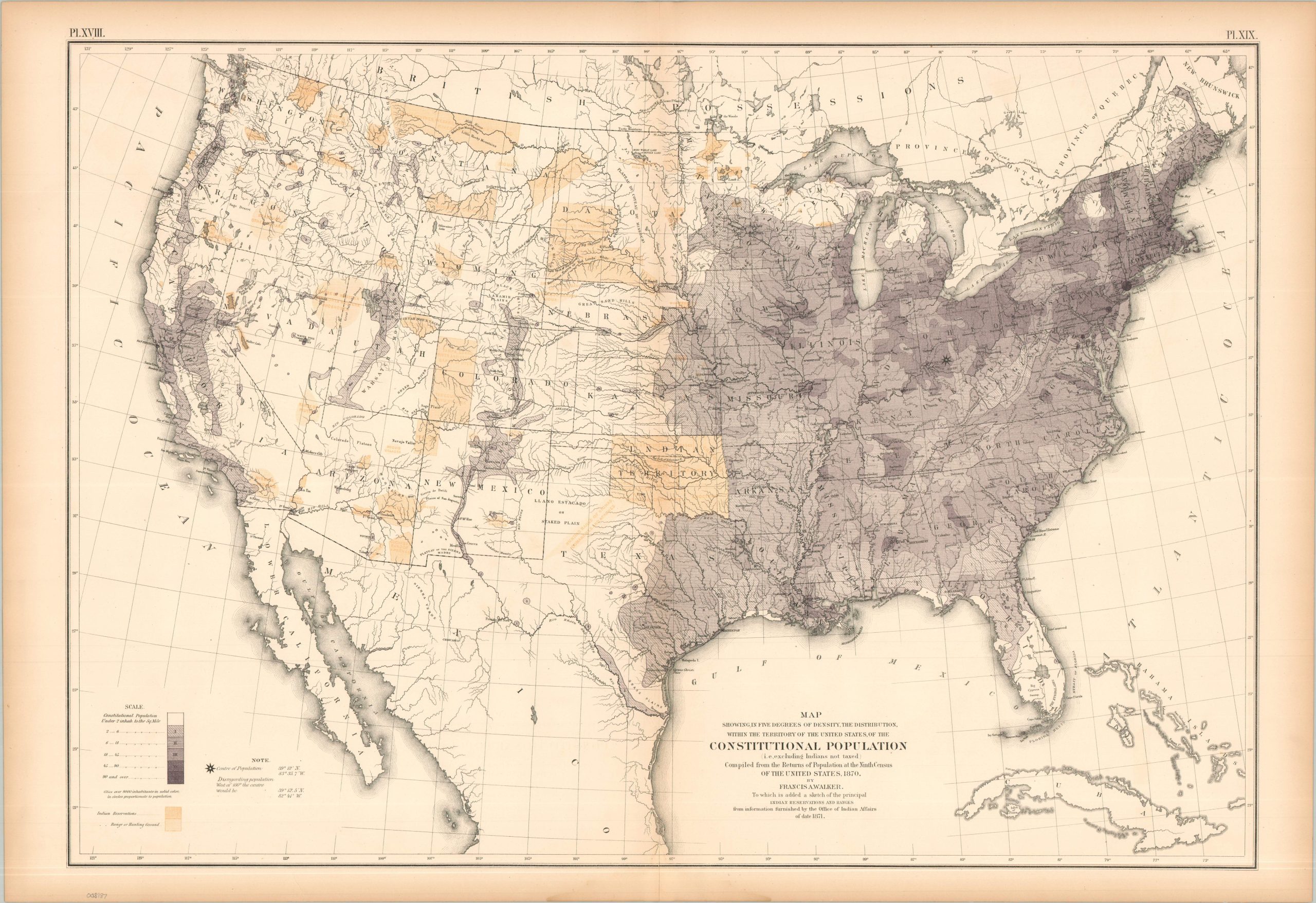
Map Showing in Five Degrees of Density the Distribution…of the Constitutional Population (i.e. excluding Indians not taxed)
$100.00
Mapping the non-indigenous population of the America during the Reconstruction Era.
1 in stock
Description
This intriguing map of the United States uses shades of purple to highlight the concentration of the ‘constitutional population’ across the continental U.S. This term refers to the specific group of people counted to determine Congressional representation, and explicitly excludes Native Americans living on sovereign tribal lands or reservations (non-taxed). This distinction is important, as the 1870 census on which the data is based is the first taken after the ratification of the 14th Amendment.
The map was originally issued as part of The Statistical Atlas of the United States Based on the Results of the Ninth Census, 1870, compiled by Census Superintendent Francis A. Walker. Lithographed by Julius Bien and published in 1874. The atlas serves as the ultimate 19th-century “data portrait” of a reunified nation, meticulously synthesizing geography, climate, and demographics into a visual manifesto of America’s industrial and economic potential.
Map Details
Publication Date: 1874
Author: Francis A. Walker
Sheet Width (in): 31.50
Sheet Height (in): 21.75
Condition: B+
Condition Description: Lithographed sheet on somewhat brittle paper. Minor marginal wear including toning, faint damp staining on the bottom, and a few tiny tears.
$100.00
1 in stock