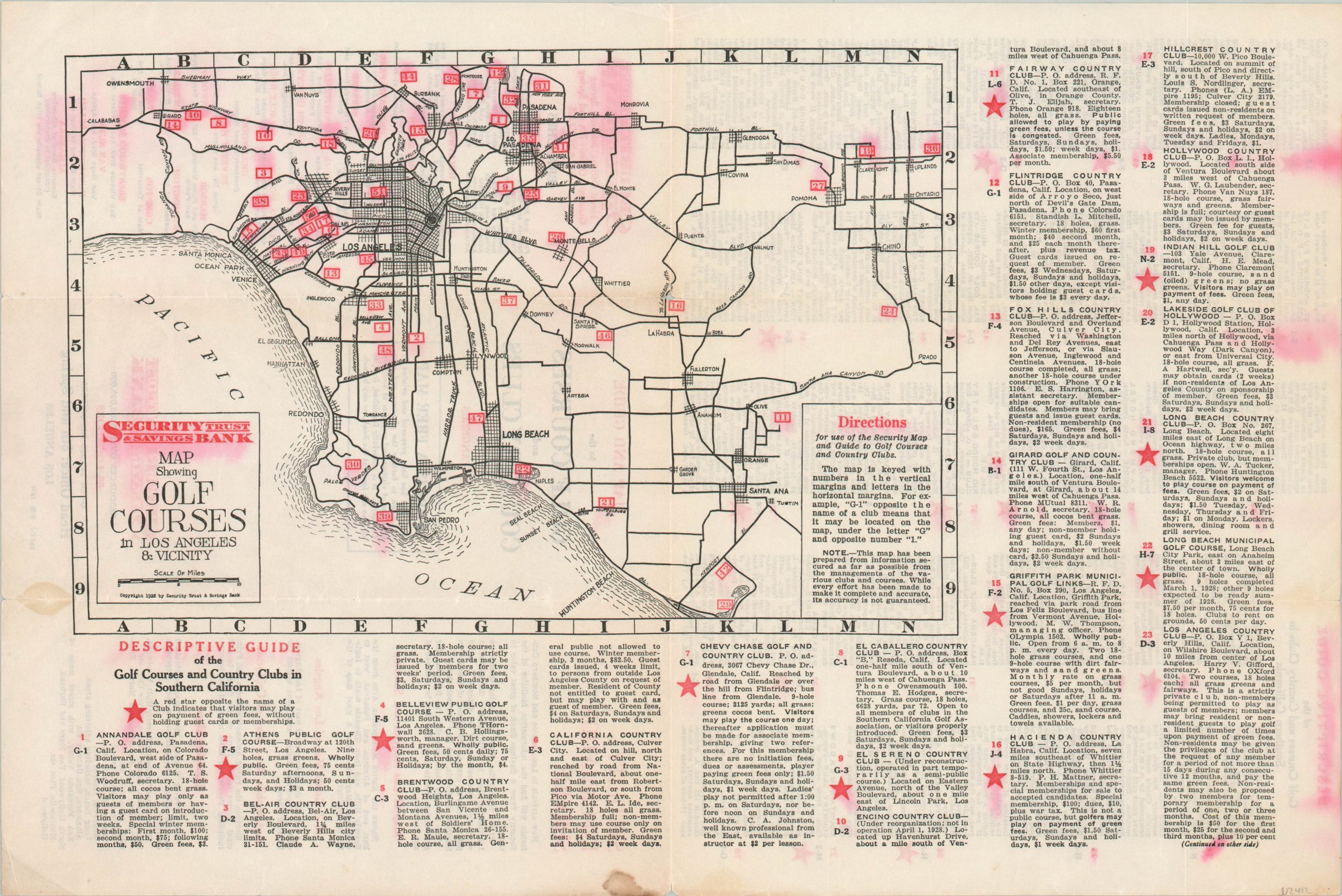
Map Showing Golf Courses in Los Angeles and Vicinity
$125.00
Guide to L.A. golf courses issued near the end of the Roaring ’20’s.
1 in stock
Description
This map and guide to the golf courses across southern California was published by the Security Trust & Savings Bank Company of Los Angeles. Fifty-one separate courses are numbered atop an otherwise basic street map of the area between Calabasas and Newport Beach and inland as far as Ontario. Accompanying text provides the address, fees, accessibility (starred courses are open to the public) and other pertinent information.
This is the second edition of the golf course map, published in May of 1928. The verso includes a list of other maps “prepared and printed by this Bank to further the pleasure and convenience of visitors and residents of Southern California…New arrivals in Los Angeles and Southern California will find the information facilities of the Security Trust & Savings Bank of great value to them.”
Map Details
Publication Date: 1928
Author: Security Trust and Savings Bank
Sheet Width (in): 17.75
Sheet Height (in): 32
Condition: C
Condition Description: Unfortunately water damage has resulted in a significant transfer of the red ink. There's also moderate wear along former fold lines and small holes at fold intersections.
$125.00
1 in stock

