
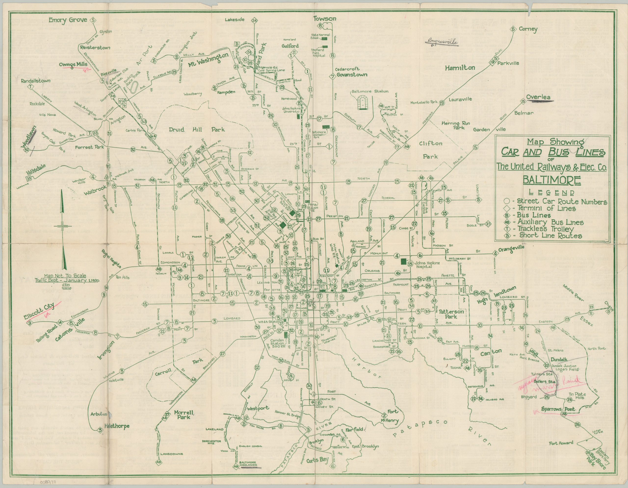
Map Showing Car and Bus Lines of The United Railways & Elec. Co. Baltimore
$110.00
The lines of the United Railways near the end of its operational history.
1 in stock
Description
This rather bare-bones transit map of Baltimore highlights the complex network of lines operated by the United Railways and Electric Company in 1930. The ubiquitous streetcar routes are indicated by circled numbers, though a rising number of bus lines and trackless trolleys are also shown connecting to the outer suburbs. Various neighborhoods and locations of interest are labeled, including Johns Hopkins Hospital, Pimlico Race Track, Fort McHenry, and Baltimore Stadium.
Map Details
Publication Date: 1930
Author: United Railways & Electric Company
Sheet Width (in): 20.50
Sheet Height (in): 16.00
Condition: B+
Condition Description: Double-sided map brochure with moderate wear and creasing along folds and the outer edges of the sheet, including a few repaired tears and light discoloration. Scattered annotations in pink, lower right About good condition overall.
$110.00
1 in stock