
Map Showing A Portion of the Free Government Lands Along the Minneapolis, St. Paul and Sault Ste. Marie Railway
$195.00
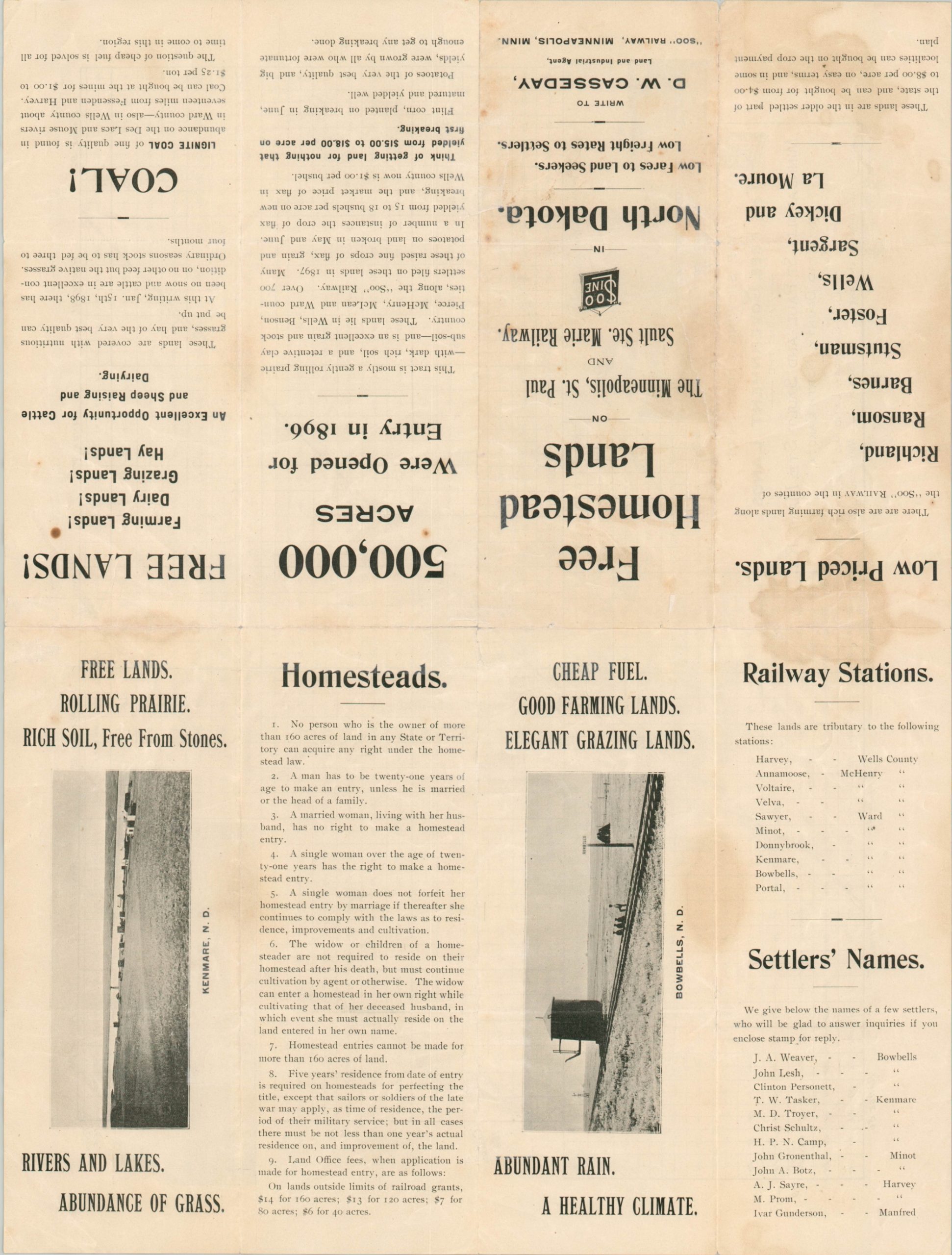
Free homestead lands along the ‘Soo’ Line. [Text on verso]
1 in stock

Description
This ephemeral map shows real estate for sale along the Minneapolis, St. Paul, and Sault Ste. Marie Railway in North Dakota, five years before it became a state. Though the ‘Soo’ Line (named after the pronunciation of ‘Sault’) had no granted tracts of its own to raise funds, it instead is capitalizing on newly opened territorial lands for sale by the federal government.
The towns of Kenmare and Bowbells were both incorporated less than a year prior to the map’s publication. Two views of farms outside the latter highlight the well-watered region’s agricultural opportunities, while several coal mines scattered across the property allude to its mining potential. Shaded land indicates it has already been purchased, adding a sense of urgency to the image. The name of the map’s engraver is obscured in the lower left, possibly Theodore Langvaard.
Text on the verso indicates it was issued in 1898, probably in Minneapolis. The verso also contains additional photographs, names of recent settlers, and impressive proclamations. “Think of getting land for nothing that yielded from $15.00 to $18.00 per acre on first breaking.”
The sheet is uncommon, and I’ve been unable to find another example in WorldCat or other online repositories. Several institutions, such as the Minnesota Historical Society and Northern Michigan have large Soo Railroad archives that may contain an example.
Map Details
Publication Date: 1898
Author: Minneapolis, St. Paul, and Sault Saint Marie Railway
Sheet Width (in): 18
Sheet Height (in): 13.6
Condition: B-
Condition Description: Several large damp stains visible within the image. Wear and large areas of separation along former fold lines has been reinforced and repaired on the verso with archival tape. Better than fair, but not quite good condition.
$195.00
1 in stock