Map of Union Beach
Rare broadsheet promoting “the season’s greatest opportunity” along the Jersey Coast.
Out of stock

Description
This fascinating and ephemeral broadsheet shows the planned borough of Union Beach, New Jersey; though it would not be officially recognized as such until five years after publication. The map represents a planned community envisioned by real estate developer Charles Carr, who purchased the area formerly known as East Point Beach Estates.
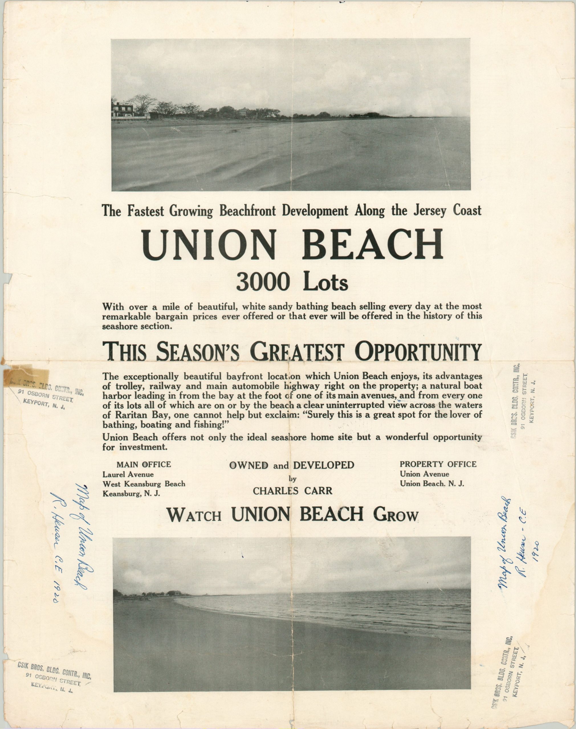
The map shows nearly 3,000 lots neatly arranged across 64 numbered blocks. The verso is a little more lively, with two photographs and bold text proclaiming Union Beach as “the fastest growing beachfront development along the Jersey Coast.” Further effusive praise assures the audience that it “offers not only the idea seashore home site but a wonderful opportunity for investment.”
Scarce, with no copies found in OCLC, the Library of Congress, or Rumsey.
Map Details
Publication Date: 1920
Author: Richard Heuser
Sheet Width (in): 18.80
Sheet Height (in): 14.90
Condition: B-
Condition Description: Formerly folded twice, with creasing along vertical and horizontal fold lines. Heavy wear visible in the margins, including old cellophane tape repairs and numerous small tears. Light dampstaining along the left side of the sheet. Several large tears, including one that extends about 1" into the image, have been repaired on the verso with archival tape. Despite the defects, the image remains intact on both sides. Old owners signature and rubberstamps on the verso.
Out of stock