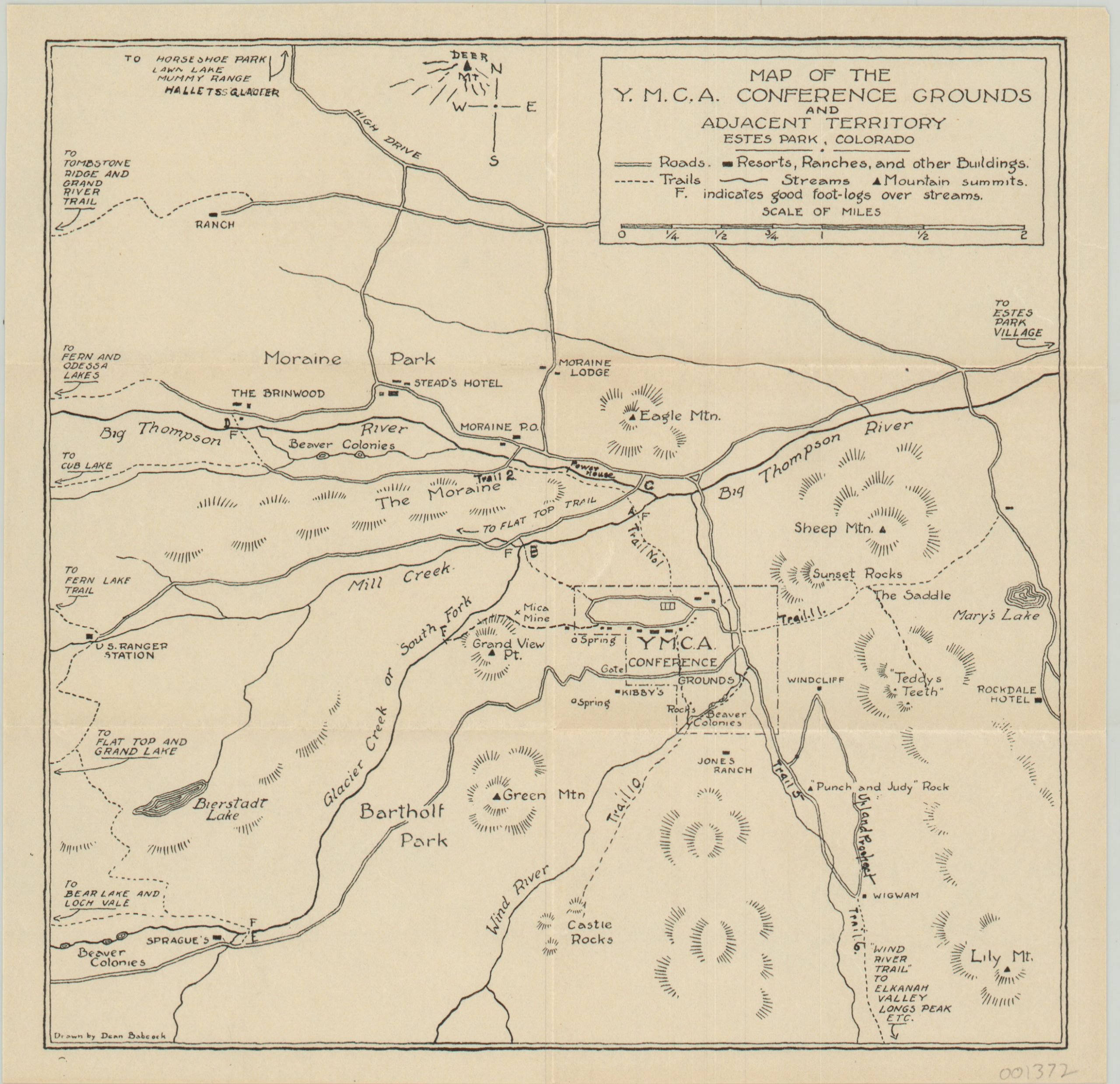
Map of the Y.M.C.A Conference Grounds and Adjacent Territory
Map and trail guide published in conjunction with a Y.M.C.A. conference.
Out of stock
Description
This small map was issued to attendees of the 1920 Estes Park Conference of Young Men’s Christian Associations (Y.M.C.A.), which took place in Rocky Mountain National Park, Colorado. Intended as a supplement to an accompanying hiking guide; the image shows the location of roads, trails, streams (with respective foot-log bridges), resorts and mountain summits in an approximate 3 mile radius of the conference grounds.
The guide lists eighteen separate hiking itineraries and “five suggestions for enjoyable mountain walking.” The map was drawn by Dean Babcock, while the guide was compiled by Dr. Frank Sanders and printed in Denver by Alexander & Meyer.
Map Details
Publication Date: 1919
Author: Dead Babcock
Sheet Width (in): 8.6
Sheet Height (in): 8.4
Condition: A
Condition Description: Issued folded into six panels in an envelop with an accompanying 15 page guide with stapled binding. Both in near fine condition, with minimal wear. The envelope has miscellaneous pencil script and a few small tears.
Out of stock

