
Map of the World on Mercator’s Projection
$125.00
The world of the mid-1870s.
1 in stock
Description
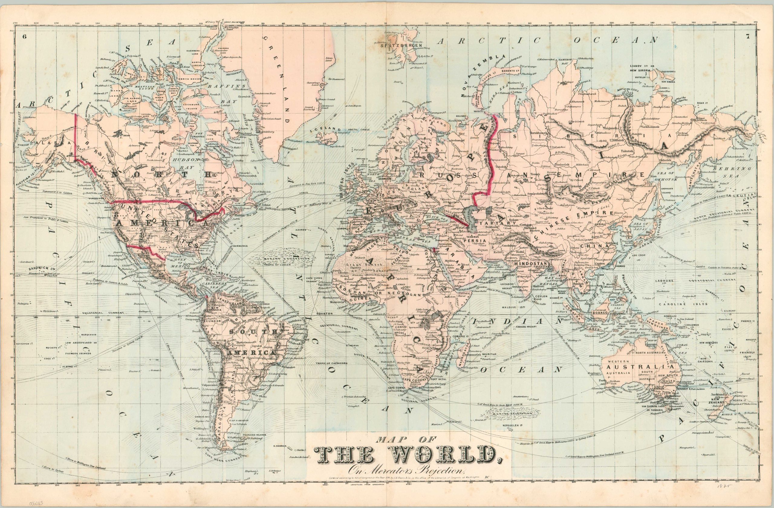
This detailed world map was copywritten by J.B. Beers in 1874 and originally published in an atlas the following year. Bold red lines denote important (from an American perspective) international boundaries while toponyms identify a variety of settlements, political entities, and geographic features.
Popular steamship routes, ocean currents, and an interesting mass of ‘marine vegetation’ fill the (hand-colored) blue waters. Dotted lines reflect hypothetical coastlines and river courses. The interior of Africa, Australia, and the Arctic Circle all remained largely unexplored at the time of publication.
Map Details
Publication Date: 1875
Author: J.B. Beers
Sheet Width (in): 24
Sheet Height (in): 15.75
Condition: B+
Condition Description: Engraved map with original color, probably applied using a stencil. Scattered spotting visible throughout the image, most evident in the upper center (near centerfold) and in the lower corners. About good condition overall. Blank on verso.
$125.00
1 in stock