
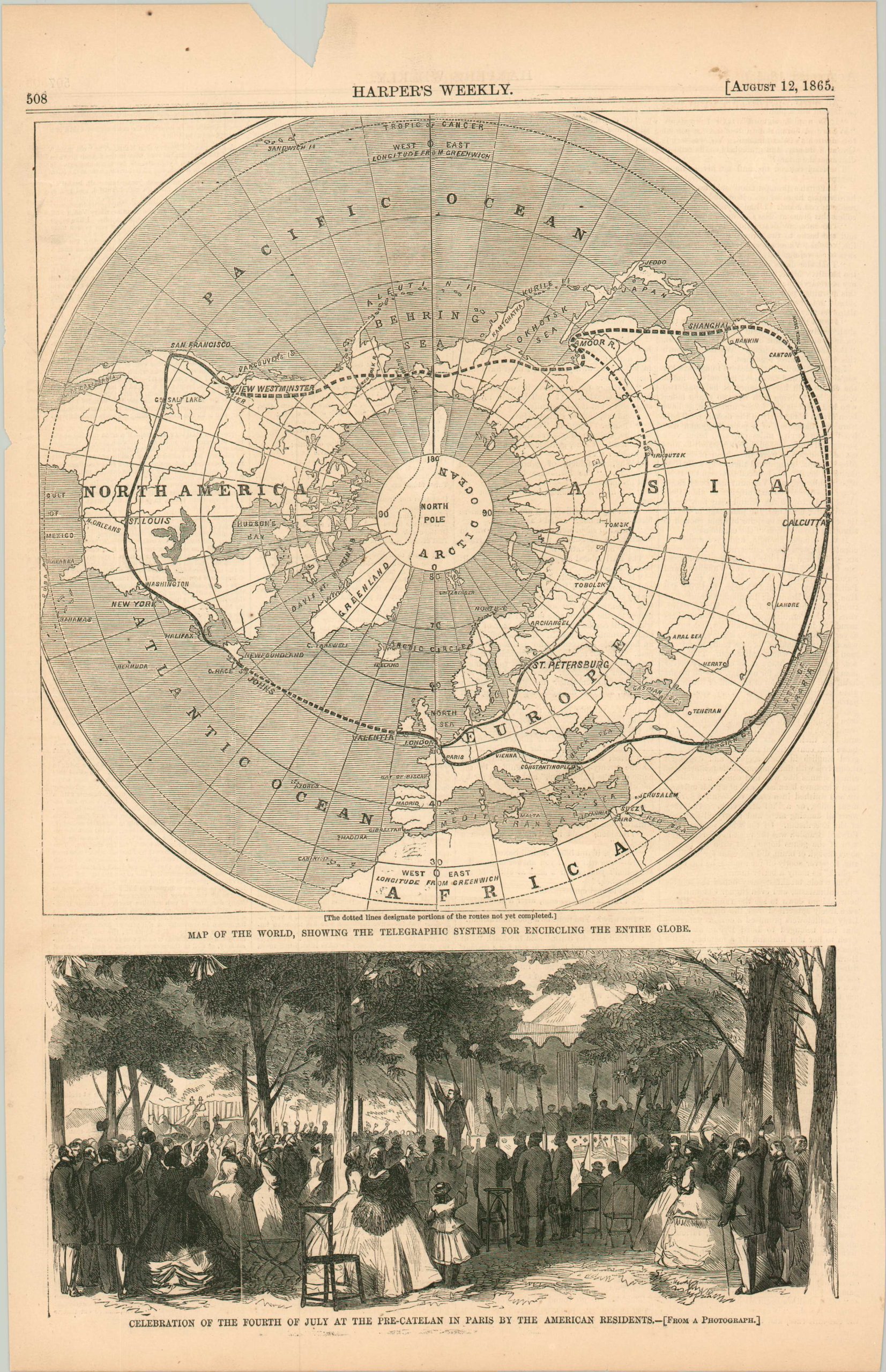
Map of the Word, Showing the Telegraphic Systems for Encircling the Entire Globe
$95.00
An early proposal for a global telecommunications network.
1 in stock
Description
This interesting woodblock map of the Northern Hemisphere was originally issued in the August 12, 1865 edition of Harper’s Weekly magazine. A distorted polar projection presents a proposed network of telegraph cables linking North America, Europe, and Asia.
Much of the planned system is merely proposed, though ongoing efforts to cross the Atlantic would be successful shortly after publication. The map was designed to accompany an article on the Collins Overland Telegraph, which hoped to connect British Columbia to Russia via Alaska.
Source: Vancouver Sun.
Map Details
Publication Date: 1865
Author: Harper's Weekly
Sheet Width (in): 10.1
Sheet Height (in): 15.6
Condition: B+
Condition Description: Single page extracted from Harper's Weekly. A medium triangular (about .75" tall) chip in the upper margin and a much small chip on the left side. The sheet is lightly toned and shows a few scattered spots, consistent with age. Good condition overall.
$95.00
1 in stock