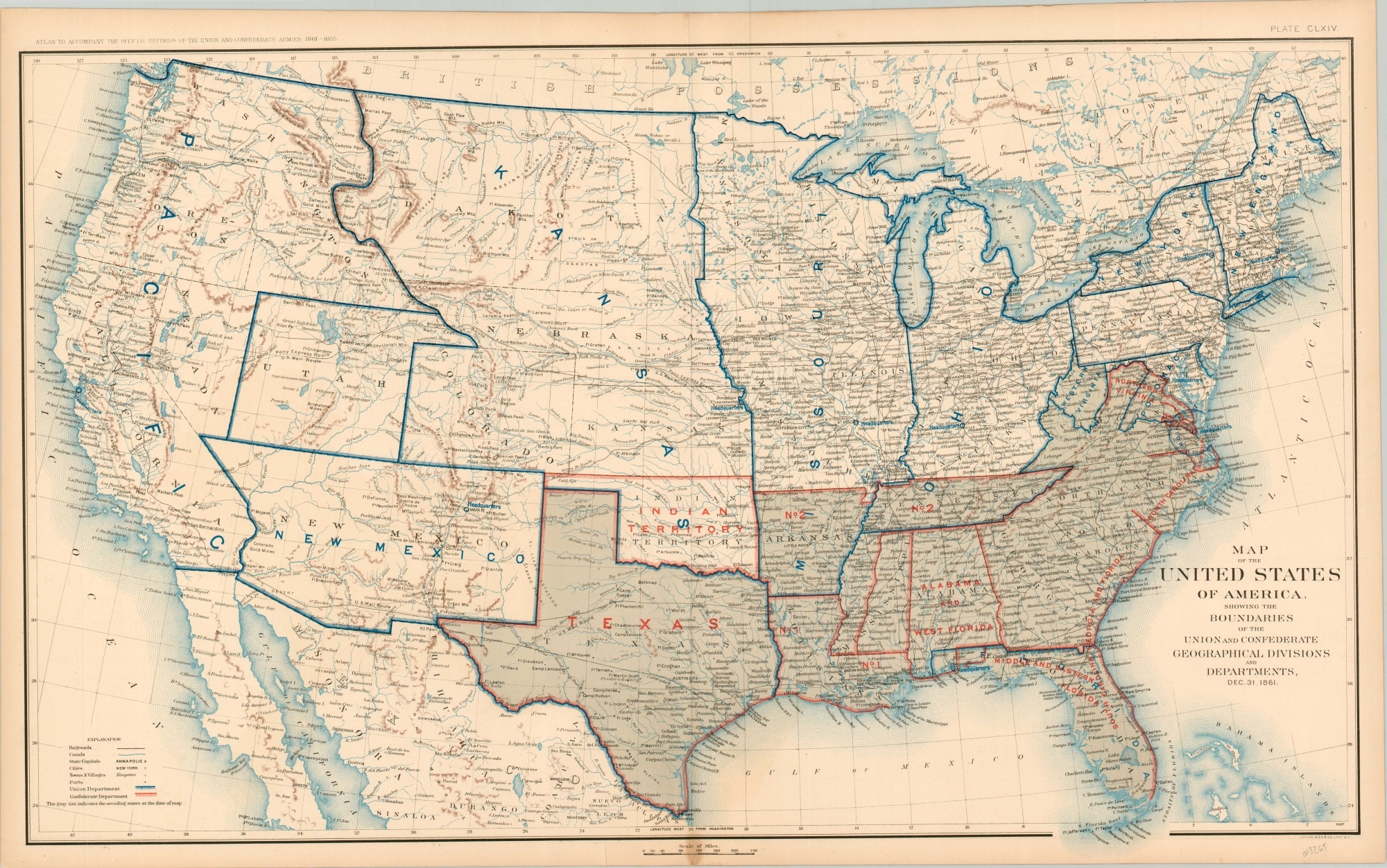
Map of the United States of America, Showing the Boundaries of the Union and Confederate Geographical Divisions and Departments
$110.00
The political situation at the end of the first year of the Civil War.
1 in stock
Description
This detailed map of the United States uses vibrant color and bold labeling to outline the various political divisions of the Union and Confederate states on New Year’s Eve, 1861. Vast Kansas and Pacific departments contrast with the smaller West Virginia and Potomac units in the east. The proximity of the competing armies headquarters is also notable, with Richmond and Washington, D.C. lying only about 100 miles apart.
The map was published by the United States War Department and issued as plate 164 in Atlas to Accompany the Official Records of the Union and Confederate Armies. The atlas was published in Washington, D.C. between 1891 and 1895 and contains some of the best near-contemporary maps of the Civil War.
Map Details
Publication Date: c. 1893
Author: Government Printing Office
Sheet Width (in): 28.50
Sheet Height (in): 17.5
Condition: A-
Condition Description: A few small edge tears have been repaired on the verso with archival tape and there's a small spot of discoloration in the lower center. Otherwise in very good condition.
$110.00
1 in stock

