Map of the Territory of Guam
$195.00
Map of Guam issued by the founder of a prominent Hong Kong hospitality company.
1 in stock

Description
This simple, but attractive, map of Guam shows the Pacific Island less than a decade after it was officially incorporated into the United States as an organized territory. Roads are represented in bold red lines, with distances between points noted. Numerous military facilities are labeled across the island, and geographic features are depicted with simple pictorial elements. The only readily apparent reference to the island’s tropical scenery can be found in a small view in the center of the compass rose.
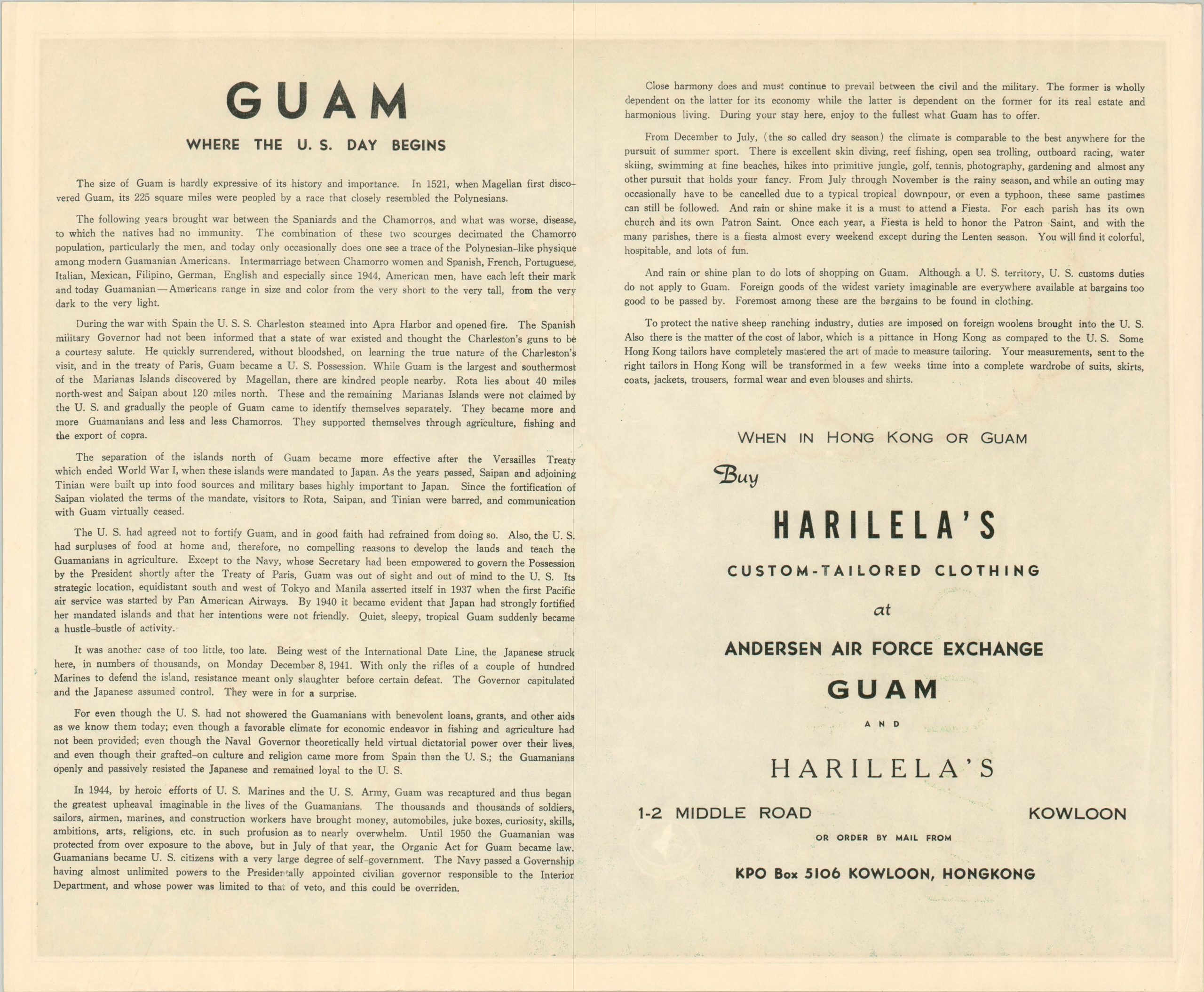
The verso features a brief history of the island which openly praises local Guamanians in their interactions with Europeans and Americans, but with a somewhat patronizing tone:
“The thousand and thousands of soldiers, sailors, airmen, marines, and construction workers have brought money, automobiles, juke boxes, curiosity, skills, ambitions, arts, religions, etc. in such profusion as to nearly overwhelm. Until 1950 the Guamanian was protected from over exposure to the above, but in July of that year, the Organic Act for Guam became law. The narrative also provides information on U.S. customs duties, and seamlessly transitions into an advertisement for Harilela’s custom tailored suits, available at the Andersen Air Force Exchange and in Kowloon. The company was founded by Hari Harilela, who would later create an international hospitality group based in Hong Kong.
Map Details
Publication Date: c. 1960
Author: Harilela's
Sheet Width (in): 13.40
Sheet Height (in): 16.20
Condition: A
Condition Description: Near fine condition, save one crease in the lower left corner.
$195.00
1 in stock