
Map of the River Systems of the United States
$65.00
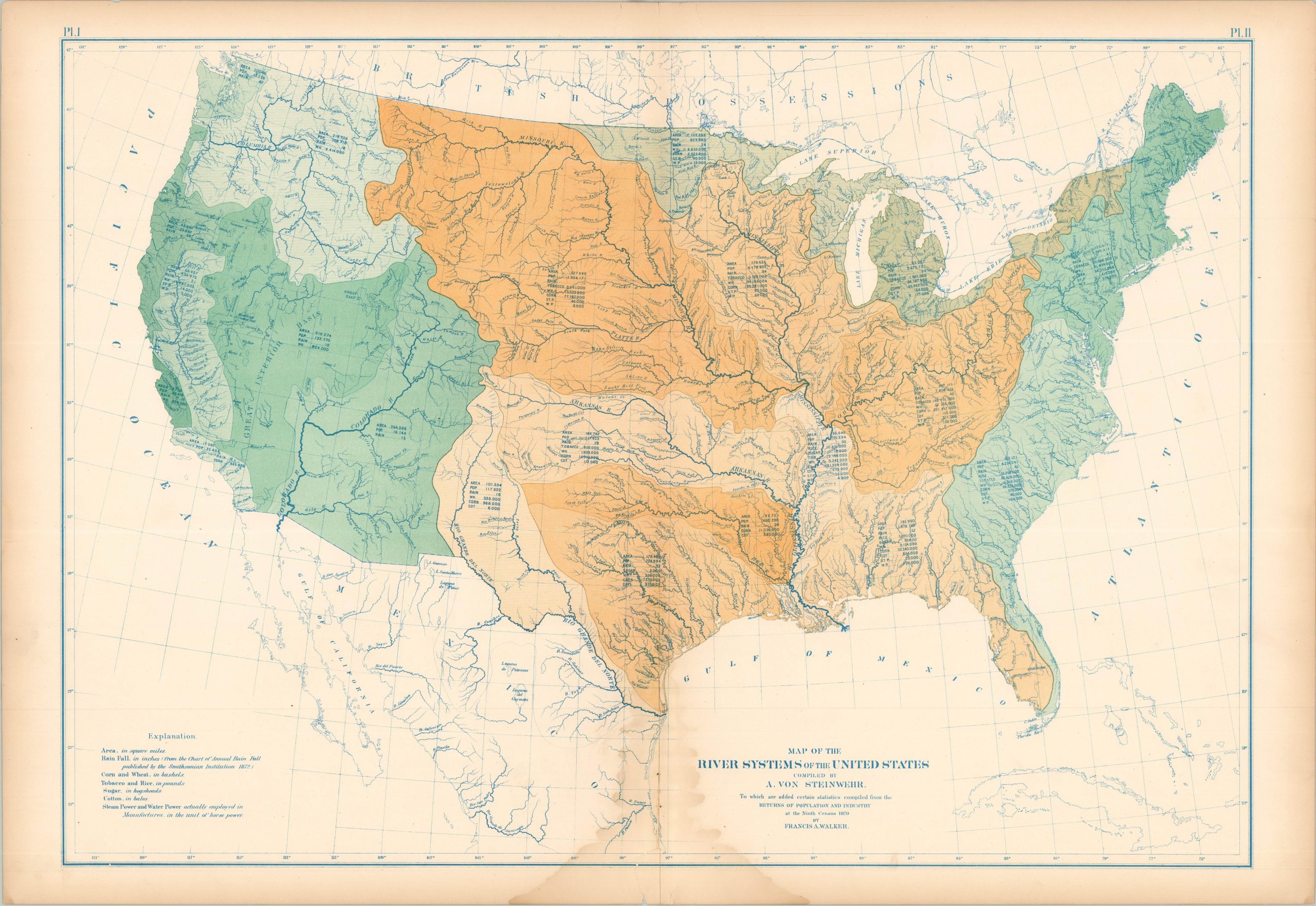
Visualizing the watersheds of the United States during the Reconstruction Era.
1 in stock
Description
This colorful map of the United States uses vibrant shades of color to highlight the various watersheds across the continent. The major river systems are boldly shown in dark blue. Accompanying regional statistics list important information like population, average rainfall, and agricultural productivity. Compiled by Prussian geographer (and former Union general) Adolph von Steinwehr.
The sheet was originally issued as part of The Statistical Atlas of the United States Based on the Results of the Ninth Census, 1870, compiled by Census Superintendent Francis A. Walker. Lithographed by Julius Bien and published in 1874. The atlas serves as the ultimate 19th-century “data portrait” of a reunified nation, meticulously synthesizing geography, climate, and demographics into a visual manifesto of America’s industrial and economic potential.
Map Details
Publication Date: 1874
Author: A. Von Steinwehr
Sheet Width (in): 31.50
Sheet Height (in): 21.75
Condition: B
Condition Description: Lithographed sheet on brittle paper with heavy wear and damp staining along the lower edge. A small chip, about 1.5", reattached with archival tape.
$65.00
1 in stock