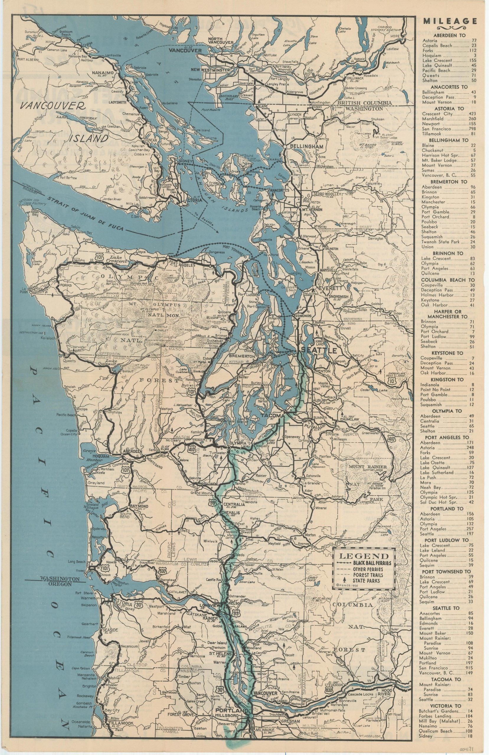
Map of the Puget Sound Country
Take the Black Ball Line across Puget Sound!
Out of stock
Description
This interesting brochure showing transportation routes between Portland and Vancouver was published in Seattle in 1936 by the Puget Sound Navigation Company. The routes of the Black Ball Ferries, other ferries, and forest trails, as well as state parks, are identified according to the legend in the lower right. The right side of the page presents a mileage index of major urban centers to surrounding areas.
The verso includes descriptive text and photographs of the various locations of interest accessible by the Black Ball Ferry Lines. According to the Puget Sound Historical Society,
“Black Ball Line was founded Feb 16, 1816 with service between New York and Liverpool with very large sailing packets across the Atlantic Ocean. In the 1890’s, the founder’s grandson, Charles E. Peabody moved west and settled in Port Townsend, where he founded the Alaska Steamship Co.
He carried the “family” flag of Black Ball on to Alaska Steamship Co. and ran it for 75 years. In 1898 Alaska Steamship formed an inland water subsidiary, the Puget Sound Navigation Company, which became the largest privately operated ferry fleet in the nation.”
Map Details
Publication Date: 1936
Author: Puget Sound Navigation Company
Sheet Width (in): 11
Sheet Height (in): 17
Condition: A-
Condition Description: Folding brochure with centerfold map. Light creasing along originally issued fold lines and a thick line, written in blue marker, can be seen running south from Seattle to the bottom of the page. Additional manuscript writing on the printed verso does not affect the image.
Out of stock

