
Map of the Pennsylvania System of Railroads and their Connections
$225.00
The Best Way Any Day’
1 in stock

Description
“Look at the Map!” declares this charming promotional piece, issued by the Passenger Department of the Pennsylvania System in 1913. A railroad map of the continental United States highlights Pennsylvania Railroad routes in bold, linking St. Louis and New York through an extensive network of lines, with branches serving Chicago, Lake Erie, Louisville, Cincinnati, and Washington, D.C. A previous owner has added a proposed or imagined extension in pencil and blue oil crayon, connecting at Peoria and continuing west to San Francisco by way of Denver and Salt Lake City. An index of passenger and ticket offices appears in the lower right, emphasizing the geographic reach of the railroad’s passenger services.
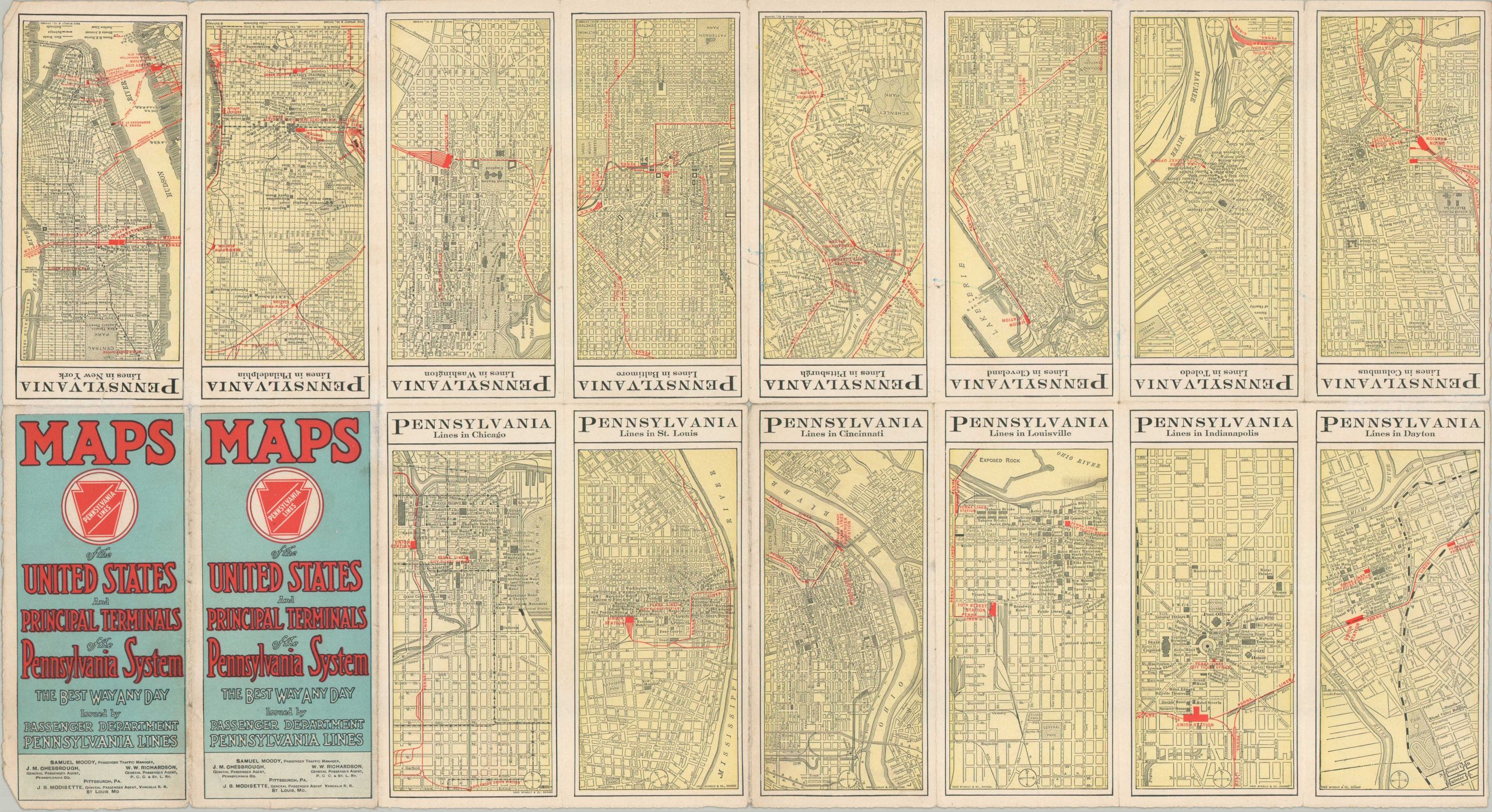
The verso presents fourteen large-scale city plans covering the principal terminals served by the Pennsylvania Railroad: Chicago, St. Louis, Cincinnati, Louisville, Indianapolis, Dayton, New York, Philadelphia, Washington, Baltimore, Pittsburgh, Cleveland, Toledo, and Columbus. Produced by Rand McNally & Company of Chicago, the plans provide detailed views of downtown street networks, with red overprinting highlighting Pennsylvania Railroad routes and associated facilities.
Map Details
Publication Date: 1913
Author: Rand McNally & Company
Sheet Width (in): 28.25
Sheet Height (in): 15.50
Condition: B
Condition Description: Double-sided map with moderate wear along folds, including several clean splits repaired on the verso with archival tape. The edges of the sheet are a bit chewed and there are heavy annotations (blue oil and pencil) made by a previous owner. About good condition overall.
$225.00
1 in stock