
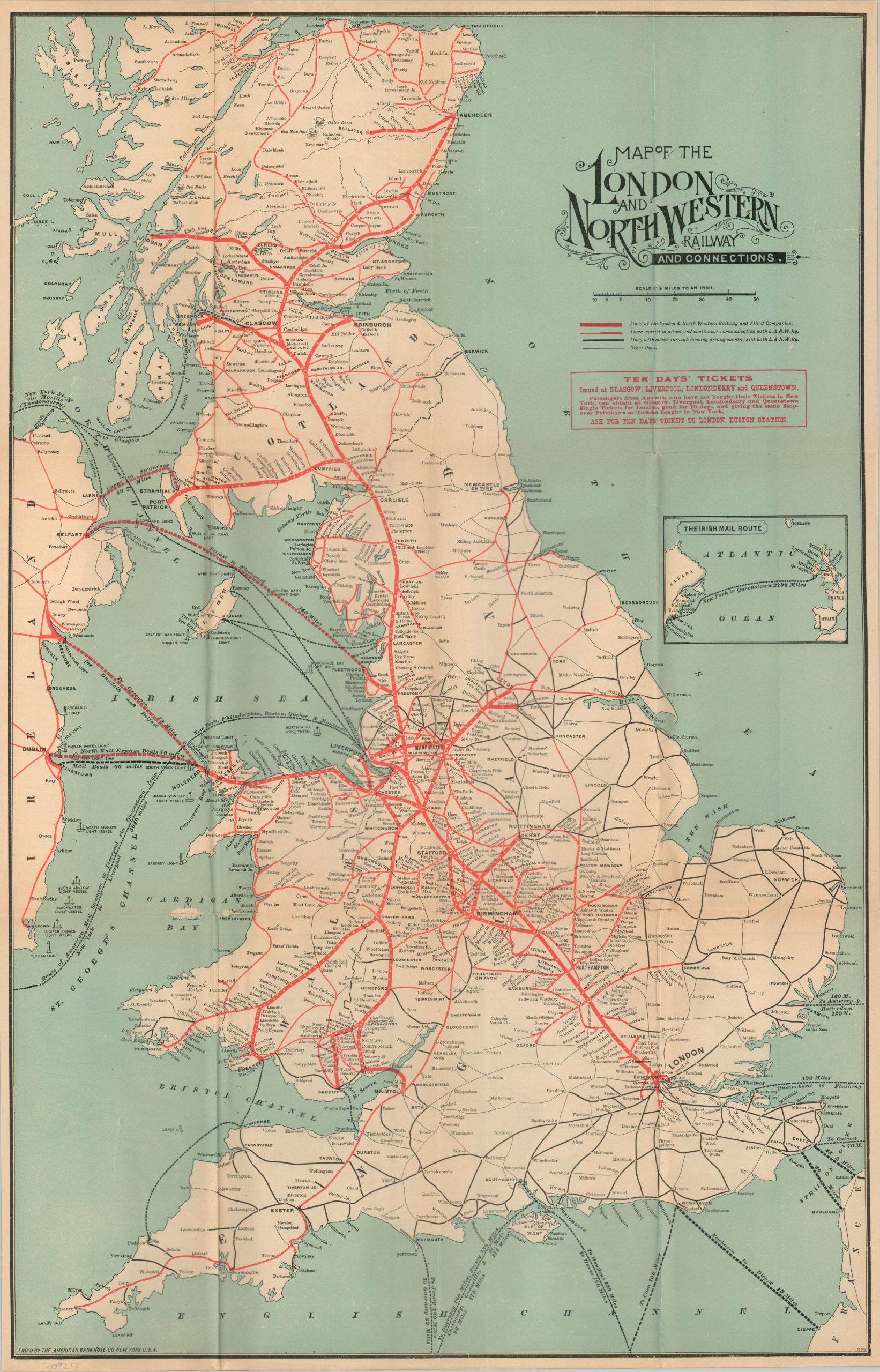
Map of the London and North Western Railway and Connections
$125.00
The LNWR at the height of its pre-grouping power.
1 in stock
Description
This 1902 railway map of England was designed by the American Bank Note Company and issued by the London & North Western Railway to promote its lines and connections across the British Isles. Primary routes of the LNWR and its “Allied Corporations” stretch from London to Aberdeen, with important branches and connections to Holyhead, Bristol, Leeds, Portpatrick, Edinburgh, and Glasgow. At Aberdeen, the LNWR’s West Coast route continued via its close connection with the Caledonian Railway. Connecting lines offering “direct communications” and “booking arrangements” are also noted, reflecting the complex and competitive nature of British railways in the early 20th century.
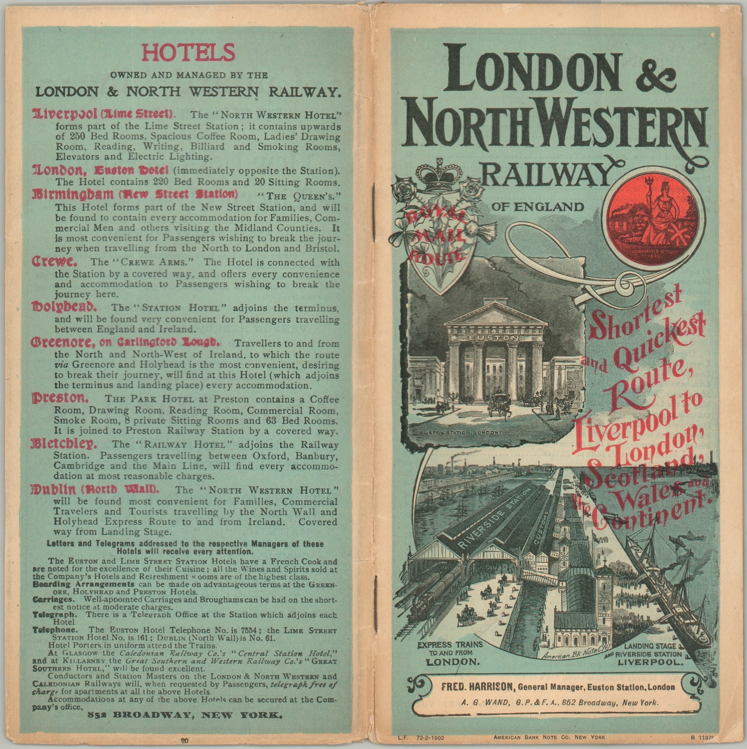
Steamship lines are an important component of the composition, notably the LNWR’s Irish Mail Route, captured in an inset at center right. The verso offers another map highlighting routes to the United States, Canada, and Continental Europe. The fold-out was issued as part of a promotional brochure presenting a wealth of contemporary information about rail travel, including timetables, summaries of attractions, fares, tourist resorts, train amenities, and more.
Map Details
Publication Date: 1902
Author: American Bank Note Company
Sheet Width (in): 15.00
Sheet Height (in): 23.75
Condition: A-
Condition Description: Fold-out map in the centerfold of a 12 pp. brochure. Stapled binding and original illustrated paper wraps. Map shows small splits at the fold joints and light toning, consistent with age. Contents are generally in good to very good condition, with some light wear along the outer edges and faint surface soiling. Very good condition overall.
$125.00
1 in stock