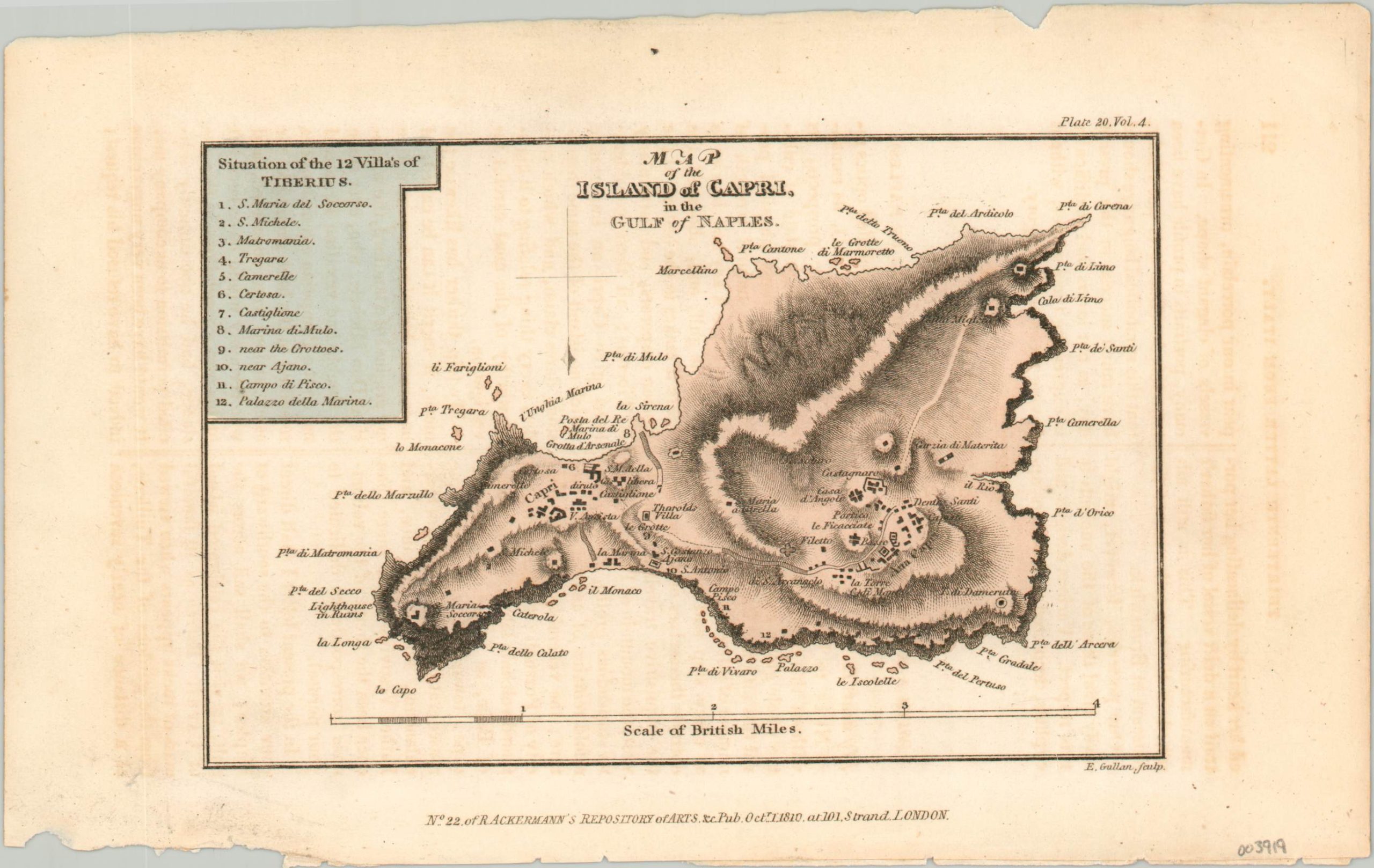
Map of the Island of Capri in the Gulf of Naples
$50.00
Historical tourism on the island of Capri in the early 19th century.
1 in stock
Description
This ephemeral map of the island of Capri in Italy’s Gulf of Naples was engraved by E. Gullan and published in 1810 as part of issue number 22 of Ackermann’s Repository of Arts. The illustrated periodical was issued between 1809 and 1829 and was incredibly influential on contemporary English attitudes towards travel, fashion, architecture, and literature.
The map shows the location of the 12 villas of Tiberius, as well as other historic sites and geographic features. It is accompanied by a three-page’ letter to the editor’, dated 1802, that describes in detail the natural beauty and cultural opportunities available for early 19th century tourists.
Map Details
Publication Date: 1810
Author: E. Gullan
Sheet Width (in): 9.1
Sheet Height (in): 5.7
Condition: A-
Condition Description: Ragged lower (binding) edge and light offsetting visible throughout. Modern hand color. Includes 3 sheets of text with accompanying article from Ackermann's Repository.
$50.00
1 in stock

