
Map of the Heavens
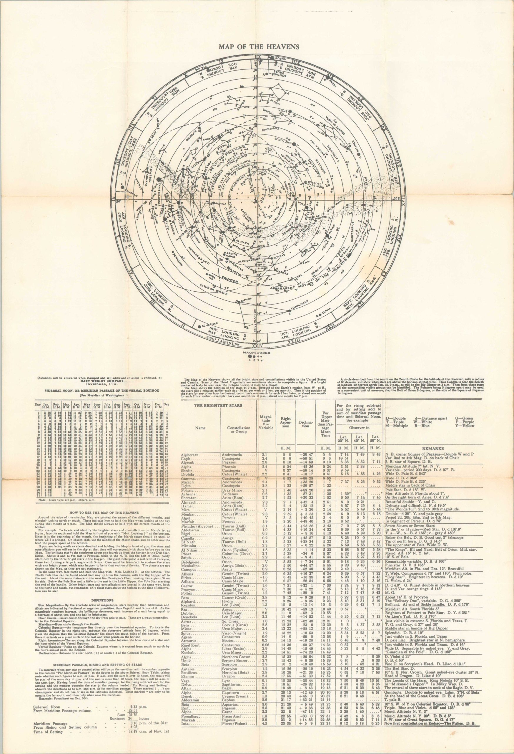
Mid-century celestial chart, possibly for helping to predict the weather.
Out of stock
Description
This somewhat confusing diagram “shows all the bright stars and constellations visible in the United States and Canada”, according to the text immediately below. Dots (representing stars) are shown in four sizes, each of different magnitudes. An explanation for how to use the map is provided in the lower left, along with several helpful definitions. Immediately adjacent is a large chart that shows the brightest stars.
Published by the Hart Wright Company of Inverness, Florida. Not much can be found on them, though the firm appears to have issued farmer’s almanacs between 1953 and 1963. Astronomy and agriculture are deeply intertwined and civilizations have been using the movements of celestial bodies to determine planting and harvesting schedules for thousands of years.
Map Details
Publication Date: c. 1960?
Author: Hart Wright Company
Sheet Width (in): 15.1
Sheet Height (in): 22.5
Condition: B
Condition Description: Moderate wear and toning along old fold lines, including spots of clean separation along the edges and small holes at fold intersections. Archival repairs on the (otherwise blank) verso. About good condition overall.
Out of stock