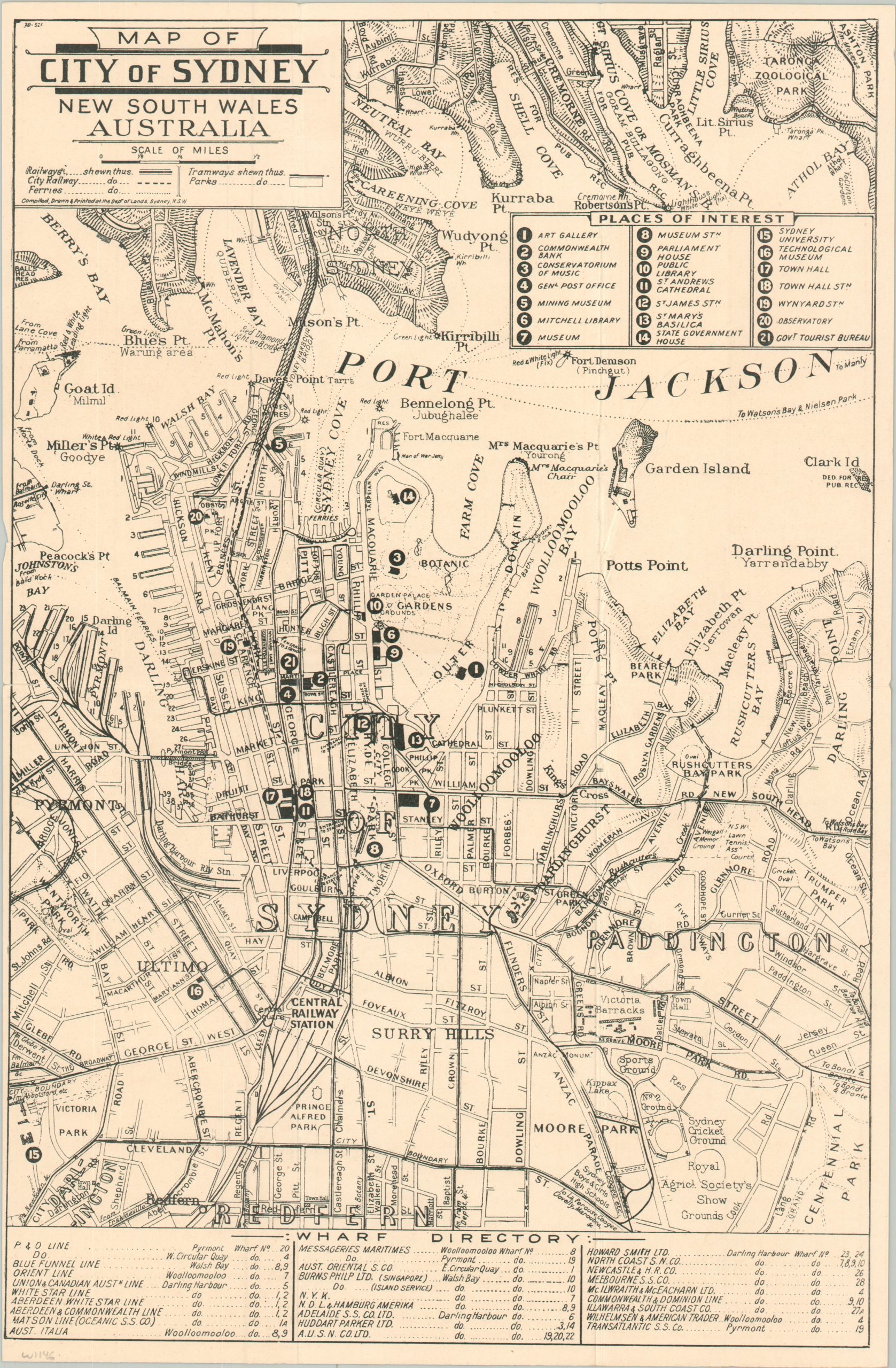
Map of the City of Sydney New South Wales Australia
$75.00
WWII-era tourist map of Sydney.
1 in stock
Description
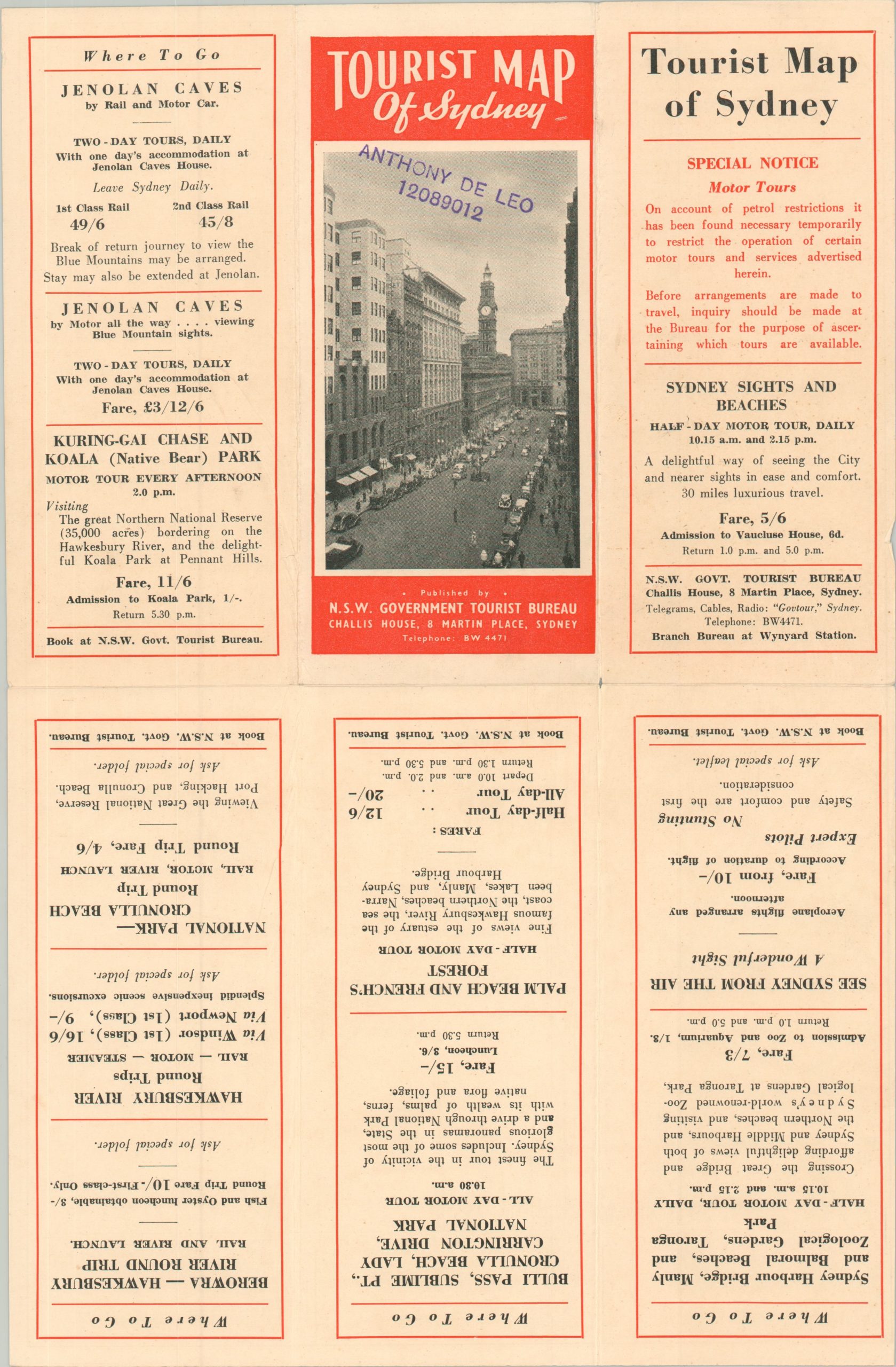
This simple, but effective, transportation map of Sydney, Australia was compiled by the Department of Lands and published locally by the New South Wales Tourist Bureau. According to text on the verso describing ongoing petroleum restrictions, it was most likely issued during or immediately after World War II. The image numbers over twenty different places of interest accessible via a network of trams, railways, and ferries. Various other attractions and important buildings are labeled, while the bottom of the page is occupied by a wharf directory of major steamship companies.
Map Details
Publication Date: c. 1943
Author: Department of Lands
Sheet Width (in): 9.4
Sheet Height (in): 14.5
Condition: A
Condition Description: Six panel brochure with creasing along folds and light wear along the outer edges. Very good overall.
$75.00
1 in stock