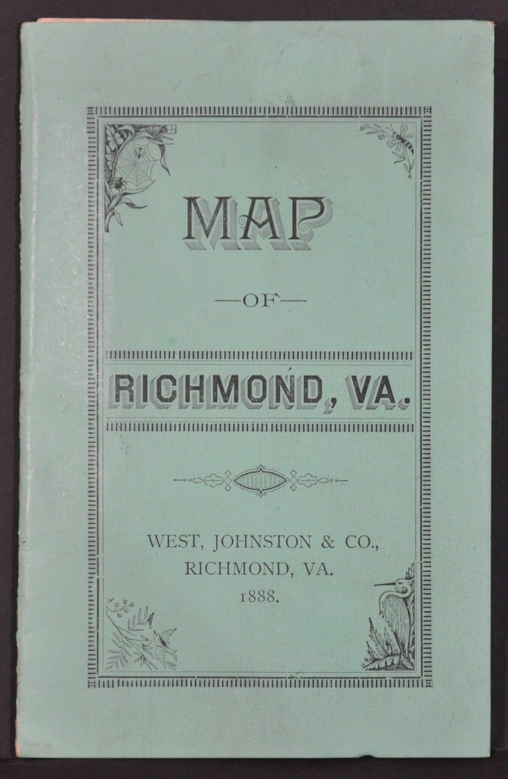
Map of the City of Richmond VA
Postbellum Richmond, Virginia.
Out of stock
Description
This rare city plan of Richmond was published locally in 1888 by Cooke, Howard & Company. The image presents a relatively simple street outline with graceful script identifying locations of interest across the capital. Subdivisions and additions, lot numbers, important buildings, and geographic features are identified throughout. Also of interest is the city’s first street railway, installed the same year of publication, running down Main Street.
The lower right presents an extensive business directory for firms specializing in goods and services ranging from agricultural implements to upholstery, and of course, tobacco. A bold red overstamp highlights the map’s seller, West, Johnston, & Company.
Map Details
Publication Date: 1888
Author: Cooke, Howard & Company
Sheet Width (in): 25.00
Sheet Height (in): 17.75
Condition: A-
Condition Description: Pocket map that folds into 21 segments and remains affixed to original bright green paper wraps (slightly soiled). A 2" diagonal tear in the upper left where affixed to the covers and some small bits of separation at fold intersections. One or two areas of light discoloration, most evident in the lower right.
Out of stock


