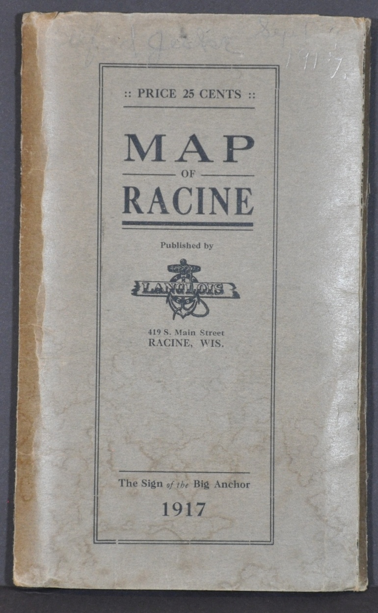
Map of the City of Racine
$140.00
Detailed pocket map of Racine, Wisconsin from the early 20th century.
1 in stock
Description
This large and attractive map of Racine, Wisconsin shows the harbor city situated on the shore of Lake Michigan at a period of significant growth of both population and industrial operations. Tables around the image list streets and locations for schools, public buildings, parks, cemeteries, churches, and local businesses; providing a detailed snapshot of the composition of the city in the first decades of the 20th century.
Wards are outlined in red and transportation routes are noted. Views of the YMCA, post office, and public library can be seen near the bottom of the sheet – just a few examples of the beautiful architecture that remains visible to this day.
Concentric circles radiate from the downtown district and provide an approximate distance to the distributor of the map – the Langlois Company. According to an advertisement on the back cover, their “window shade department is the most complete in the city.”
Drawn by H.A. Clemons and printed locally by the Western Printing and Lithograph Company. Dated 1917 on the front cover.
Map Details
Publication Date: 1917
Author: H.A. Clemons
Sheet Width (in): 22.25
Sheet Height (in): 41.5
Condition: B+
Condition Description: Pocket map folded into 30 segments and affixed to original gray paper wraps. Dated on front cover. Creasing and wear along fold lines and several spots of discoloration in the image, most evident in the lower center, along with two spots of old ink writing. Similar wear and soiling is visible in the margins.
$140.00
1 in stock


