
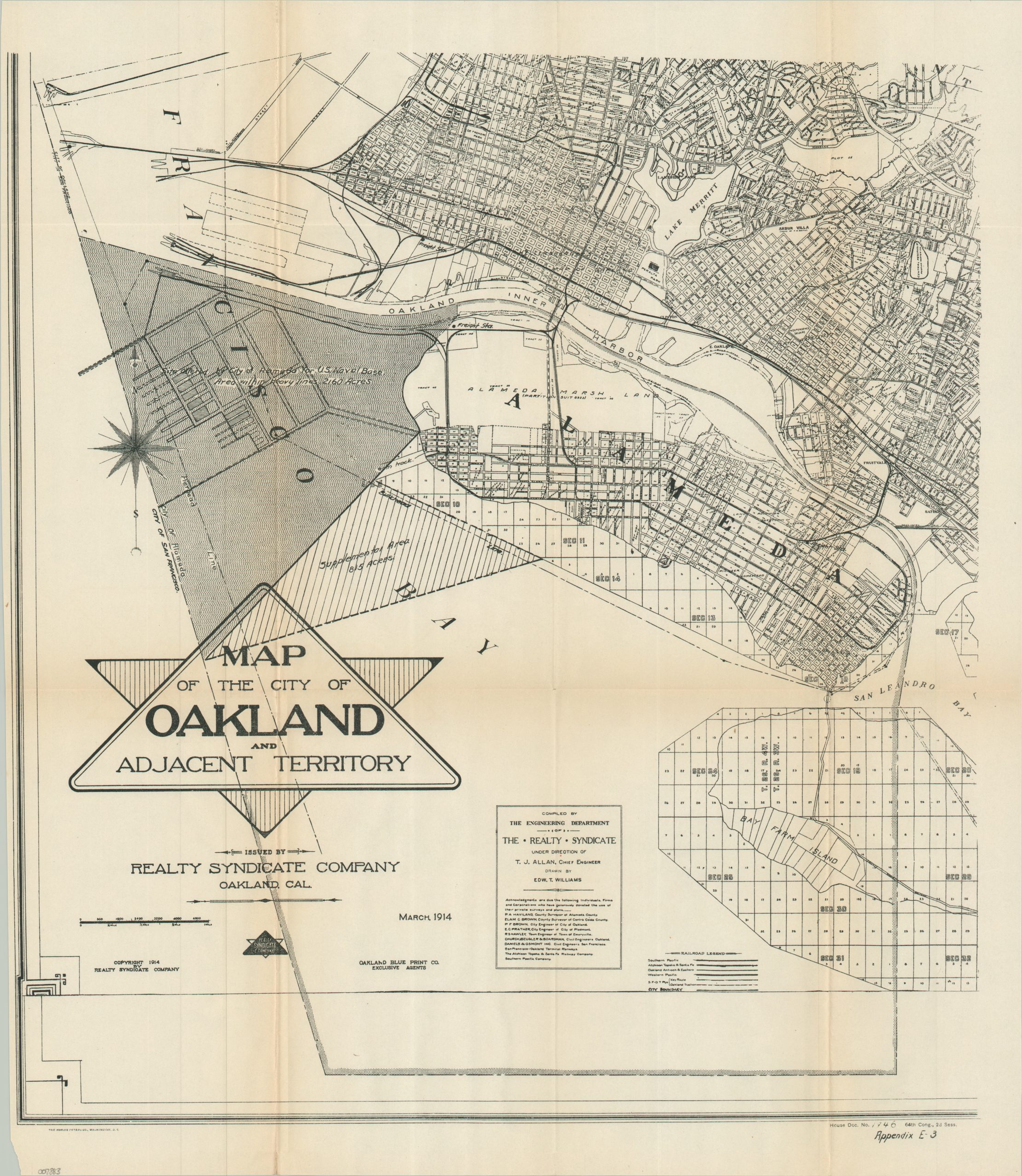
Map of the City of Oakland and Adjacent Territory
$200.00
WWI-era plans for a new naval base in the San Francisco Bay.
1 in stock
Description
In 1913, the State of California passed an act that transferred state-owned tidelands near Alameda to the city, with the goal of future development (including the possibility of a naval base). The increasing volatility of Europe during World War I prompted Congress to consider the matter further, with a commission formed in 1917 to determine the prospects for additional naval facilities on the West Coast.
This map, published by the Government Printing Office in 1917, uses a portion of a larger 1914 real estate map (compiled by T.J Allan of the Realty Syndicate) to highlight the potential site offered by the city of Alameda – over 2,000 acres in total. It wasn’t until the 1930s that the area eventually became the site of a naval facility, when the land was purchased for what became Naval Air Station Alameda.
Map Details
Publication Date: c. 1916
Author: Realty Syndicate Company
Sheet Width (in): 18.50
Sheet Height (in): 21.25
Condition: A-
Condition Description: Printed on somewhat thin paper. Narrow left margin (presumably as issued), with a small chip in the lower left corner (away from the image). Light toning along sharp creases.
$200.00
1 in stock